ArcGIS Field Maps Beta Update Two
A new beta update for ArcGIS Field Maps was released last week. This update has brought us our first glance at smart forms, support for high accuracy receivers, and location tracking.
Smart Forms
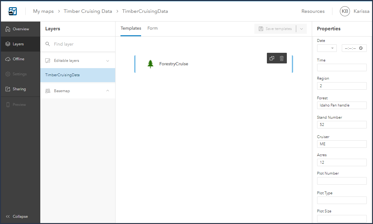
Organizing your form is now as simple as dragging and dropping the attributes fields into the desired order. The group functionality can be added to the form to group similar attributes fields into collapsible sections. Attribute fields can be removed from the form if they are unnecessary for data collection purposes. This improves both the logistics of the form and utilization of screen real estate.
Default values can be input into the template section of Field Map to be populated into the smart form during data collection.
Below is a view of how these groups and defaults display in the Field Maps mobile app.
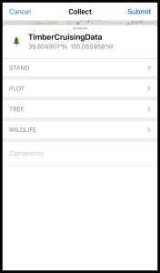
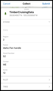
Conditional visibility from arcade expressions, configuring forms on table, and required fields will be coming to the smart forms before the fall release.
High Accuracy External Receivers
For Trimble R receivers, Fields Maps will be used in conjunction with the Trimble Mobile Manager app for configuration of real-time correction sources, GNSS output reference frame, and Geoid models for orthometric values (MSL) on both iOS and Android. While this MSL functionality has been available with Trimble Mobile Manger and Collector for ArcGIS on Android, this will be a new functionality for all our iOS users. The MSL value will be captured as the Z value in the feature geometry. Check out my previous blog here on how to configure the Geoid in Trimble Mobile Manager and to populate an MSL value into an attribute field. Note that arcade expressions aren’t currently supported in the smart form for viewing MSL values in the field.
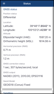
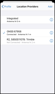
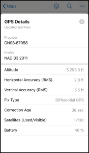
The Juniper Geode will be supported by Field Maps and will integrate directly into the location provider. The Geode Connect app can be used for configuring real-time correction sources.
Location Tracking
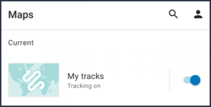
To track your location, your organization will need to have location tracking enabled and the user will need to have a Tracker license assigned to them. With both these prerequisites in place, a new map named My tracks will appear in your browse screen. Tracking will be enabled when the slider is turned on.
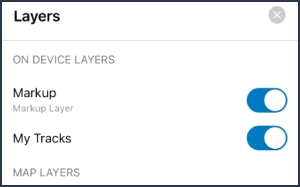
iOS devices will have this option under the layers in the map view. This functionality isn’t available on Android devices yet.
Compass Bearings
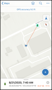
One minor update that is worth mentioning is the compass navigation now lists the bearing to the feature along with the distance.
