Frontier Precision and Industry News

Frontier Wins Awards

Frontier Wins Awards

Frontier Precision is proud to announce some of our recent achievements, by earning the 2017 Trimble Geospatial Best Regional Total Revenue Americas and 2017 Trimble Protected Protection Plan Sales Excellence Worldwide awards! We are also celebrating our 30th year in...

read more
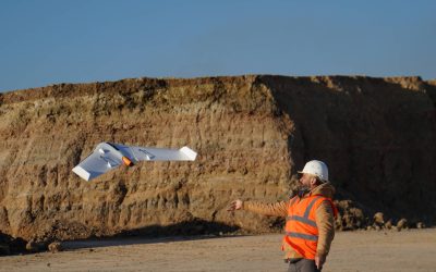
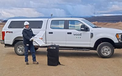
Delair Announces Availability of UX11 Fixed-wing UAV

Delair Announces Availability of UX11 Fixed-wing UAV

DELAIR ANNOUNCES GLOBAL AVAILABILITY OF MOST ADVANCED & COST EFFECTIVE LARGE AREA MAPPING UAV FOR GEOSPATIAL PROFESSIONALS Delair UX11 drone offers survey-grade capabilities, real-time processing and control in a fully-integrated, easy-to-use solution; now...

read more
Trimble T10 Getting Started Video

Trimble T10 Getting Started Video

The Trimble T10 tablets are now shipping, and we have a product introduction video to get you acquainted. In this video you will learn about our recommended tips and tricks such as customization of the application keys and how to quickly swipe between opened programs....

read more
Coming Soon to Survey123

Coming Soon to Survey123

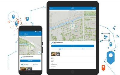
Esri’s Survey123 data collection app is being rapidly developed, and new versions are released every 4-8 weeks. That means many bugs are addressed, and new functionalities are added. So what has been happening with Survey123 lately? The Spike integration from my last...

read more

Trimble Access Compute Distance

In this latest Tech Talk we continue our Trimble Access COGO series by running through the Compute Distance functions. This allows additional computing functions over using the Inverse tool, as it allows computing distances between two points, a point to a line and a...

read more
BSC Partners with Frontier Precision to Equip Surveying Lab

BSC Partners with Frontier Precision to Equip Surveying Lab

PHOTO: L to R: Frontier Precision Geospacial Sales Engineer Nathan Kupfer, Frontier Precision CEO and President Dennis Kemmesat, BSC President Larry C. Skogen and BSC Associate Professor of Civil Engineering Technology Dave Sagsveen. BISMARCK, ND – Starting in the...

read more
Sentinel GIS Road Ahead

Sentinel GIS Road Ahead

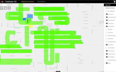
Sentinel GIS began in 2007 with a handful of early adopters implementing field Larviciding data collection and reporting based on ArcPad and ArcMap. Within a short time, we added Adulticiding, then continued the modular approach with Surveillance and Service Request...

read more
Point Cloud Colorization in Trimble Realworks

Point Cloud Colorization in Trimble Realworks

In this Tech Talk we demonstrate how to take panorama images and use them to colorize our scan setups in Trimble RealWorks. We then demonstrate how to do a quick cloud-to-cloud registration to put these scans together, and verify the results.  

read more
What’s New in Sentinel® GIS for Mosquito Control Software

What’s New in Sentinel® GIS for Mosquito Control Software

Sentinel GIS for Mosquito Control software — What’s New. Read about new changes to benefit users of the Frontier Precision Sentinel GIS mosquito control software updates. The Juniper Systems Mesa 2 Rugged Windows 10 Tablet is a sound investment with benefits now, and benefits later. New NPDES log reports for Larviciding treatments have been added. Sentinel is now Esri ArcGIS 10.6 ready. The Service Request application has been modified to support MySQL making it easier to use WordPress. New software updates and technical support resources are available.

read more
Simplifying Your GIS – Make Your Data Work for You (Part 3)

Simplifying Your GIS – Make Your Data Work for You (Part 3)

In our last post, Simplifying your GIS – Sharing Data, we discussed web GIS and gave some examples of how to engage your manager or your public by sharing GIS data.  Now you've done the hard part: standardizing and cleaning up your data, and deciding what technique...

read more
What’s New in Windows ULV

What’s New in Windows ULV

Windows ULV – The Next Generation Last winter we introduced our new Windows ULV software for mosquito Adulticiding control, designed to meet everyday challenges tracking mosquito control spraying activities. With easy map-based office tools for reporting and no spray...

read more
Using Survey123 and Spike for Inspections

Using Survey123 and Spike for Inspections

Paper forms have always been an industry standard when doing routine inspection. They are easy to use, but have their drawbacks when trying to incorporate the collected information into a GIS system. With the recent uptake in mapping apps available on iOS and Android...

read more
Simplifying your GIS – Sharing Data (Part 2)

Simplifying your GIS – Sharing Data (Part 2)

In our last post, Simplifying your GIS – Data Management, we expressed the importance of data management and ways in which you can create a solid foundation for your GIS. In this post we will build upon using that structure and how we can share you newly implemented...

read more