


Frontier Precision and Industry News
Simplifying your GIS – Sharing Data (Part 2)
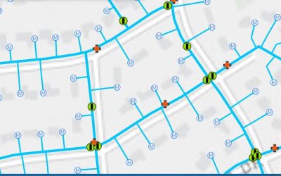
In our last post, Simplifying your GIS – Data Management, we expressed the importance of data management and ways in which you can create a solid foundation for your GIS. In this post we will build upon using that structure and how we can share you newly implemented...
Background Aerial Imagery Tech Talk
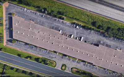
In this Tech Talk video we demonstrate how to create custom aerial image background files using Google Earth imagery. This process includes saving the aerial image in Google Earth, georeferencing the image in Trimble Business Center; and importing the image into...

Simplifying Your GIS – Data Management (Part 1)
We are pleased to introduce a series of resources dedicated to Simplifying your GIS, starting with Data Management. This series builds upon some basic principles that are often overlooked or underutilized when striving to create a successful GIS at an organization. ...

Measuring Clearances Using Scan Data in Trimble Business Center
In this Tech Talk we demonstrate how to utilize Trimble Business Center to calculate clearance measurements. The point cloud data was captured using a Trimble SX10 scanning total station. These tools are great to use when measuring bridges, tunnels, and other...

Walk-through of the Compute Point functions within Trimble Access COGO
This is the second video of our Trimble Access COGO series. In this Tech Talk we provide a walk-through of the various Compute Point functions in the Trimble Access COGO menu. These are powerful tools to complete tasks such as laying out parcel corners, rebuilding an...
Salvaging a static observation that went out of level during collection.
In this video we demonstrate a workflow in Trimble Business Center that can be used to salvage a static observation, where the receiver settled and moved out of level during the data collection. This is not a "silver bullet" solution, but it can be a very useful tool...
Mean Sea Level Elevation Data Using Esri’s Collector App
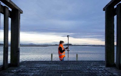
This September 2019 update for the latest workflow includes the following changes: Process for using a real-time source of NAD 1983 (2011) rather than WGS 1984 No longer need to add 11 cm for phase center of the R2 in Collector Location Profile setup is now shown in...

How to merge point clouds with GeoSLAM HUB.
In this video we demonstrate how to take two separate Zeb-Revo scans within GeoSLAM HUB, and merge them together to be a single scan. Then we verify the results in CloudCompare.

Frontier Precision, Inc. Announces Offering Spike, a Smart Laser Measurement Solution for Smartphone or Tablet.
Bismarck, ND (Corporate) – Frontier Precision is excited to announce its new partnership with a global leader modernizing the way measurements are taken and shared with Spike. Frontier is now an authorized reseller in Minnesota, North Dakota, South Dakota, Colorado,...
Trimble Realworks Forensics Workflow for Trimble SX10 Scan Data
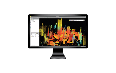
This video demonstrates a common Trimble Realworks workflow geared toward forensics professionals who use Trimble Reveal software for diagramming. The video will highlight how to import SX10 data, perform a cloud-to-cloud registration, segmentation and...

Using your robotic total station as a level.
In this video we show how your robotic total station can be used as a level by utilizing the Survey Basic tool within Trimble Access General Survey. This is a quick and easy way to get elevation data on a job site when you do not have access to an auto or digital...

Who Do You Trust?
Recently there have been a few posts that have exposed the “quality” of Google Earth, Bing Aerials, Esri Background Imagery, and others. One post by Brian Murphy on December 6th does an excellent job describing the nature of these imagery sources. He describes not...

Benefits of using Trimble Business Center along with Civil 3D
We often hear from users, that they bring all of their survey data in CSV format directly into Civil 3D. Some ask how they can utilize Trimble Business Center in their workflows, and use it as more than just a transfer tool to get data from the field into Civil 3D....

Tech Talk: Turning Point Clouds into 2D Drawings with GeoSLAM Draw
In this Tech Talk we demonstrate the GeoSLAM Draw tool within the GeoSLAM Hub software. This is a useful tool to take your 3D GeoSLAM point cloud data, and turn it into usable 2D CAD drawings quickly and easily.

Tech Talk: Working in any Reference Frame with Trimble RTX
In this video we show how Trimble's RTX service can be used with any project reference frame. Since Trimble RTX corrections only come in ITRF 2014, it can be difficult to utilize the service in projects that are not in the ITRF 2014 reference frame. In this video we...

Tech Talk: Trimble Access COGO Series – Compute Inverse
This Tech Talk video demonstrates the use of the Compute Inverse command within Trimble Access field software. This is one of the most common COGO commands used by surveyors. An inverse calculation is great for determining angles and distances between a set of two...

Product Video: Trimble Forensics Reveal Software
This is a product demonstration for Trimble Forensics Reveal software. In this video we will highlight some of the core tools and features for creating crime and crash scene diagrams. Trimble Forensics Reveal Standard is the ultimate software solution for forensic...

Tech Talk: Trimble MX7 Mobile Imaging Software Overview
The Trimble MX7 Mobile Mapping Imaging system is a fast and cost effective way to manage assets such as bridges, buildings, roads, highways, and power stations, and document site conditions with geo-referenced images. The MX7 allows you to visually observe and capture...