Frontier Precision and Industry News

Increase Data Collection Productivity – Allegro 2

Increase Data Collection Productivity – Allegro 2

For Decades the Juniper Systems Allegro field computer has set the standard for ruggedness and performance for high-production data collection in natural resources. A full alpha and large numeric keyboard combined with a touch-screen display allows rapid, accurate...

read more
Traveling Through Time, Back to the Basics of GPS

Traveling Through Time, Back to the Basics of GPS

From our daily lives, to determining the most accurate position using GPS, timing is a critical component of our modern lives. Advancements in clocks and their accuracy has driven many innovations, including the ability to use GPS to precisely locate ourselves on the...

read more
What’s New in RTK?

What’s New in RTK?

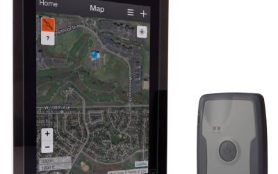
So, you have driven out to a remote location to locate or update GPS features, only to find that the cell coverage is sketchy.  Enter, the NEW Intuicom RTK Bridge X. This device is a great tool to always have with you to get you through your GPS collection day. This...

read more
Should I Post Process My GPS Field Data?

Should I Post Process My GPS Field Data?

The answer to this question may seem obvious. We all want to get the best data possible when using a GPS or GNSS receiver, right? So how can we accomplish that? Many of us are happy with real time corrections. But, what if real time corrections are not available? In...

read more
New Enhancements to Trimble TerraFlex Software

New Enhancements to Trimble TerraFlex Software

Did you know that Trimble has released new Import/Export functionality for TerraFlex? TerraFlex also supports ESRI Basemaps now and will run on Windows 7 & 8 desktop/laptop operating systems! Trimble Positions August 2014 Blog Post on New TerraFlex Desktop Add-In...

read more
The Secret to Calculating Stockpile Volume

The Secret to Calculating Stockpile Volume

It is amazing how fast certain people can estimate the volume of a stockpile.  We aren’t talking about armchair quarterbacks here.  These are folks who wear the sole off a nice pair of leather work boots in a single year.  They can glance at a pile between sips of hot...

read more
Do you use Esri Maps for Office yet?

Do you use Esri Maps for Office yet?

A couple of years ago, Esri introduced the Esri Maps for Office plug-in for Microsoft Office.  This plug-in adds exceptional, and easy to use, GIS mapping functionality to traditional Microsoft Office applications like Excel and PowerPoint.  These tools allow...

read more
Elevation Matters: High-accuracy GNSS for Dam Inspections

Elevation Matters: High-accuracy GNSS for Dam Inspections

When an application for GNSS requires highly accurate relative elevation readings for a set of features, we often think of fairly traditional surveying techniques and equipment like survey-grade GNSS systems, total stations, or even the old hand level with a stadia...

read more
A Few Things to Consider When Purchasing Your Next ADCP

A Few Things to Consider When Purchasing Your Next ADCP

As portable acoustic Doppler current profiler (ADCP) technology becomes the standard for stream and river flow measurement there is a wider selection of ADCP’s from which to choose. How do you know which ADCP best fits your measurement needs? Ask yourself these...

read more
Have A Drink On Me…Or Not

Have A Drink On Me…Or Not

The State of California Struggles With A Historical Water Shortage Dry lake beds, brown lawns and thousands of acres of barren farm land, just some of the physical evidence of one of the worst droughts in California history. According to Chris Bonds with the...

read more
Are you getting the most out of your MultiTrack prism?

Are you getting the most out of your MultiTrack prism?

Many users of the Trimble S-Series robotic total stations are also using MultiTrack 360° prisms. We feel that is it important for users to know how these prisms work, as well as offer tips to get the most accurate measurements from them. First let's go over how the...

read more
GIS Dashboards for Mosquito Control Operations

GIS Dashboards for Mosquito Control Operations

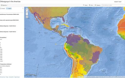
One of the most sought after features for mosquito control Operations Managers and management staff in general is a GIS dashboard.  Getting data into systems such as FieldSeeker GIS and Sentinel GIS is only part of the solution – it’s getting data back out in a...

read more
The Geo 7X Tackles Tough Jobs with Style and Grace

The Geo 7X Tackles Tough Jobs with Style and Grace

One common aspect of field data collection is that it often happens in remote places with no cell coverage or worse yet no Starbucks.  Running low on caffeine can seem tragic at times but a GNSS handheld that runs low on satellites is certain doom for those jobs we...

read more
Rent or Buy: The Trimble GPS Debate

Rent or Buy: The Trimble GPS Debate

Before coming to work at Frontier Precision I coordinated field crews where we used Trimble GPS equipment for field data collection.  We used the equipment daily from May to September, but then most of it sat on a lonely shelf during the off-season.  Each spring we...

read more