Bismarck, ND (Corporate - HQ)
FRONTIER CERTIFIED SERVICE CENTER / RETAIL LOCATION
![]()
Open: Monday – Friday
8:00 AM – 5:00 PM
(Central Time Zone)
Corporate Office:
Toll-Free:
Survey Technical Support:
Mapping Technical Support:
Address:
Frontier Precision1713 Burlington Drive
Bismarck, ND 58504
Staff:
- Dennis Kemmesat
President / Chief Executive Officer - Kevin Hellman
Chief Financial Officer - Nathan Kupfer
Geospatial Senior Account Manager - Danielle Moe
Geospatial Sales / Support - Tyler Bohl, PLS
Applied Geospatial Engineer - Luke Odegard
Controller - Sherrisa Lam
Staff Accountant - Paula Kinnischtzke
Accounts Receivable / Administrative Support - Lacey Hanson
Accounts Receivable Specialist - Jenn Heinrich
Creative Director - Tovah Danielson
Graphic Designer - Morgan Hartze
Graphic Designer - Melissa Marquardt
Marketing Coordinator - Jake Thomas
Human Resources Manager - Jenna Flemmer
Human Resources Assistant - Kyle Rosenau
IT Customer Service Specialist - Chris Carr
Warehouse Manager - Dalton Kemmesat
Warehouse Operations - Ben Schafer
Purchasing Manager - Derek Vetsch
Purchasing - Noah Bennett
Service Technician
![]()
Staff:
- Collin Kemmesat
Regional Sales Manager - Midwest – UAS - Paul Kline
Applied Geospatial Engineer – UAS
![]()
Staff:
-
Bryer Kaczynski
Service (Ag Drones)
")

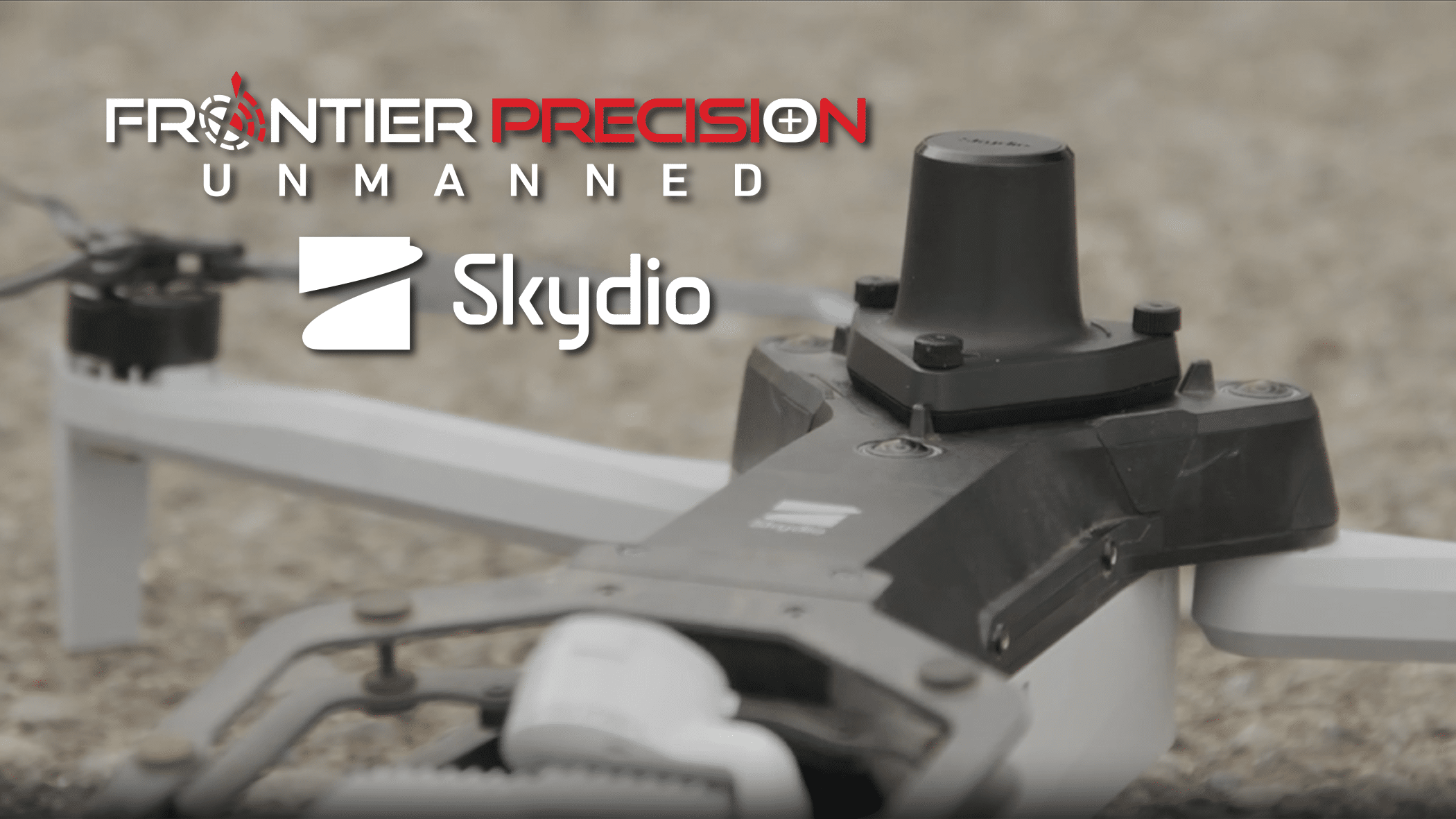 Skydio has introduced an advanced Real-Time Kinematic (RTK) module attachment for the X10 unmanned aerial system, representing a significant advancement in precision positioning technology for professional drone operations. This module enables RTK corrections to be applied to photogrammetric data capture during flight missions, fundamentally enhancing the geometric accuracy of resulting mapping products. The RTK integration transforms the X10 from a standard mapping platform into a highly accurate system capable of achieving single-digit centimeter-level positioning accuracy.