GIS-Centric – Why Does it Matter?
I spent some time last week with CityWorks® and its partners, responding to a mosquito control opportunity in Florida. One of the big selling points for CityWorks is that it is GIS-Centric. What does that mean? Why does it matter?
In their case, it means that the asset registry, the root of all activities and data collection for all asset management, is the GIS database. GIS is not an afterthought, not an option to add on, not something you can export data to in order to look at it, not something you “connect to” to make pretty maps. GIS is the system, and what that means is this:
- All asset data is already in GIS – there is no interface, integration, synchronization, or other manual or automatic process to get the data into GIS, because it’s already there
- Full use of the ArcGIS® platform – in this case, as in most cases in the US at least, GIS means Esri® ArcGIS. What does “use of the platform” mean? It means being able to use Collector and other field apps for collecting asset data. It means use of ArcGIS Desktop for network editing and complex analysis. It means Web maps and apps for sharing data with the public or others.
- Easier integration with other GIS-centric systems. And this is where we come in.
FieldSeeker® GIS and Sentinel® GIS also are GIS-Centric, so all of these advantages are inherent. In the case of the opportunity in Florida, it means that our “specialty” or “best-in-breed” COTS software will play nicely with CityWorks.
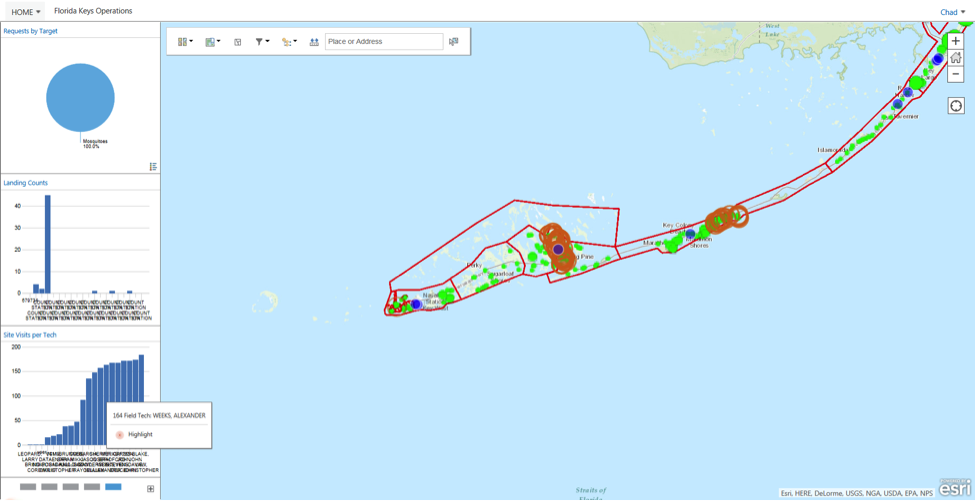
In broader terms, the fact that our Mosquito Control software solutions are GIS-Centric means that users of our products can make good use of other ArcGIS platform tools, such as operations dashboards. Top-down requirements from managers and board members require that operational information be easily accessible. Decision makers and stakeholders alike need to have a clear and concise picture of what is happening in real-time, without the burden of learning lots of software and lingo.

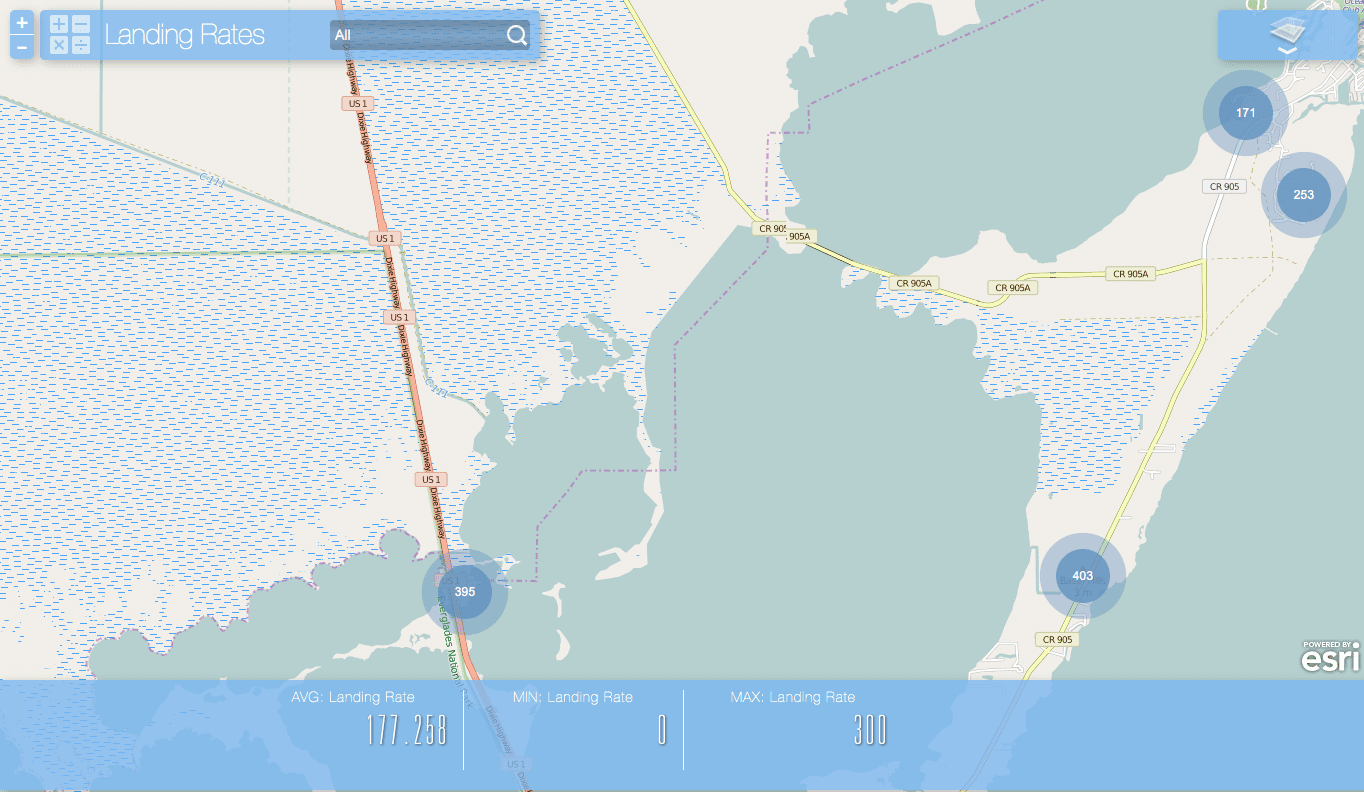
Web status maps showing recent or planned spray activity, district boundaries and contact information; story maps portraying typical mosquito control activities in the interests of public education; GeoForms for recording customer service requests – these are all examples of platform apps and capabilities that are already available to users of FieldSeeker GIS and Sentinel GIS. Many of you have seen examples of this on recent Webinars or at conferences and trade shows.
What GIS-Centric Does Not Mean
There is often a subtle confusion that creeps into discussions of geospatial technology, including GIS and mapping. Users and vendors alike conflate GIS and consumer mapping tools. Not to disparage tools like Google Earth, whose simplicity and user-friendliness has made it ubiquitous, but a satellite image with dots on it is not a GIS. A database program with a map display is not a GIS. In more specific terms, putting some GPS tracks and other features on a map and printing it might be great for visualization and quick decision making, but how do you get reports, summarize historical findings, detect changes over time, or determine effectiveness? Historically, GIS’ strong suit has not necessarily been user-friendliness, but certainly all these kinds of basic analysis are part of what GIS is all about. The user-friendliness is changing though – Esri’s emphasis on Web and Mobile GIS are putting easier to use GIS tools in the hands of more people. Not necessarily easier for IT or GIS (though it is job security), but certainly this puts GIS more at the center of management for many organizations, especially all forms of public government.
Why make the distinction? Because software systems that claim to be GIS-friendly, or GIS compatible, but that store their data in separate databases and merely have capabilities to show things on a map, are not GIS-centric. They have none of the advantages mentioned above. Over time, as GIS continues to become the management model, all such systems become more and more isolated from the mainstream. Lacking any platform strengths that can be leveraged, they become more expensive to maintain in the long run, and they increase dependence on consultants or specialized knowledge at one or two firms. Compare that to the thousands of Esri business partners worldwide, and the huge user community, and perhaps you can see another business value of GIS-centric systems.
Let Us Help
This being a business blog, there is of course a business point to be made for us too. If you already have the Esri platform, let us help you! I’ve mentioned our mosquito control software that is specifically designed on the Esri platform, but we also offer ArcGIS Online and other GIS services. If you’re in doubt about how best to use the platform, or have some ideas and just need some additional resources to move off center, please contact us and we’ll be happy to assist you.
For more information, join us for a webinar titled: GIS-Centric Systems vs. Map-Enabled – What’s the Difference? on Thu, Nov 5, 2015 10:00 AM – 10:30 AM MST. View Recorded Webinar.


