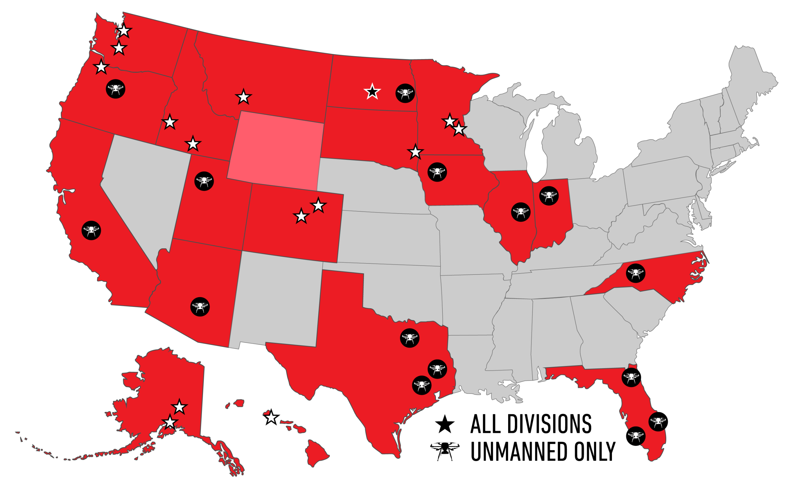


Wednesday, December 9, 2026 | 11:00am-12:00pm Eastern
In this webinar, Frontier Precision will share the approach recently demonstrated with Hawaii DOT Harbors, where multiple reality-capture technologies were brought together to create a comprehensive digital representation of port infrastructure.
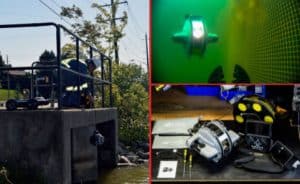
The presentation will cover the use of UAS, USV, ROV, mobile mapping, terrestrial scanning, and LiDAR to capture infrastructure above, below, and around the waterline. We will also discuss how these individual datasets can be combined into a scalable digital twin that supports more complete inspections, asset management, change detection, and long-term infrastructure planning.
Using the Hawaii Harbors project as a real-world example, I’ll walk through the technologies selected, how the systems complemented one another, lessons learned in the field, and how repeatable data collection can help agencies move beyond a single inspection and begin identifying infrastructure deterioration, sediment buildup, and other changes over time.
Speaker:
Sean Muldoon, Regional Sales Manager – Western US, Frontier Precision, Inc.
REGISTER HERE
Link brings you to a page were you can create an Aville account and register for the webinar.