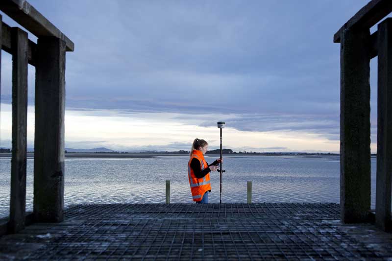
Mean Sea Level Elevation Data Using Esri’s Collector App
With the availability of receivers like Trimble’s R2 that can be used for high-accuracy data collection in 3rd party apps, many users want to collect vertical data in Esri’s Collector. However, Collector, as of today, only collects data in Height Above Ellipsoid (HAE). The following instructions will show you how to get Mean Sea Level elevations from data that was captured with Esri’s Collector App.
There are a lot of variables to consider, including your receiver, your correction source, your horizontal datum, your desired output coordinate system and units, etc. Each setup may be different, but here is one common example. I’m using an R2 receiver capable of 1 cm accuracy horizontally and 2 cm vertically. I will be connected to a local VRS so that I can achieve centimeter level accuracy in real-time. The VRS outputs corrections in a NAD83 (2011) datum. I would like my final data in a US State Plane coordinate system and in Mean Sea Level (MSL) using the NAVD88 vertical datum.
Set Up the Attributes
As of today, the new Collector on iOS is the only version that will record 3D geometry. This is coming soon for Android also, but for our Windows users, it may be a while. While your horizontal data will be recorded in your coordinate system of choice, vertical data is still recorded in Height Above Ellipsoid (HAE), no matter how you have your vertical coordinate system set in your GIS. Therefore, if you will be converting your data to MSL after collection, we still recommend that you record the position attributes while collecting data and use them to rebuild your geometry later.
Set Up Your Location Profile in Collector
Setting the location profile of your real-time source is important to ensure you don’t introduce a shift into your data. The video here by Karissa Barnes describes how to do this on iOS. The same settings will be found in Android though the location of the buttons to tap may be a little different. Note that my original data being in State Plane has no bearing on these settings. We only care about the real-time datum, and the datum of the background map.
Reproject To NAVD88
Esri provides a model called ProjectZ that was downloaded with the toolboxes from GitHub earlier. We will use this model in this step to convert your ellipsoid heights to mean sea level heights.
That’s it! Get in touch with Frontier Precision if you would like assistance modifying the ProjectZ model or automating the process with Python.


