×

Bismarck, ND (Corporate - HQ)

FRONTIER CERTIFIED SERVICE CENTER / RETAIL LOCATION

Open: Monday – Friday
8:00 AM – 5:00 PM
(Central Time Zone)

Corporate Office:

701.222.2030

Toll-Free:

800.359.3703
 

Survey Technical Support:

survey_support@frontierprecision.com

Mapping Technical Support:

mapping_support@frontierprecision.com

Address:

Frontier Precision
1713 Burlington Drive
Bismarck, ND 58504
 

Staff:

  • Dennis Kemmesat
    President / Chief Executive Officer
  • Kevin Hellman
    Chief Financial Officer
  • Nathan Kupfer
    Geospatial Senior Account Manager
  • Danielle Moe
    Geospatial Sales / Support
  • Tyler Bohl, PLS
    Applied Geospatial Engineer
  • Luke Odegard
    Controller
  • Sherrisa Lam
    Staff Accountant
  • Paula Kinnischtzke
    Accounts Receivable / Administrative Support
  • Jenn Heinrich
    Creative Director
  • Tovah Danielson
    Graphic Designer
  • Morgan Hartze
    Graphic Designer
  • Melissa Marquardt
    Marketing Coordinator
  • Jake Thomas
    Human Resources Manager
  • Lacey Hanson
    Human Resources Assistant
  • Kyle Rosenau
    IT Customer Service Specialist
  • Chris Carr
    Warehouse Manager
  • Dalton Kemmesat
    Warehouse Operations
  • Ben Schafer
    Purchasing Manager
  • Derek Vetsch
    Purchasing
  • Noah Bennett
    Service Technician

Staff:

  • Collin Kemmesat
    Regional Sales Manager - Midwest – UAS
    Trevor Hoggatt
    Applied Geospatial Engineer – UAS

Staff:

  • Michael Peyerl
    Regional Manager

  • Martin Farver
    Account Manager

You are leaving the Frontier Precision website for a link to BuildingPoint America West, a Frontier Precision company.

Please click the button below to continue to BuildingPoint America West.


Continue To BuildingPoint America West

You are leaving the Frontier Precision website for a link to BuildingPoint America West, a Frontier Precision company.

Please click the button below to continue to BuildingPoint America West.


Continue To BuildingPoint America West
×

You are leaving the Frontier Precision website for a link to BuildingPoint America West, a Frontier Precision company.

Please click the button below to continue to BuildingPoint America West.


Continue To BuildingPoint America West
  • Contact A Frontier Precision Office
  • Call : 800.359.3703
  • Shop
  • Solutions
    • Geospatial
    • Unmanned
    • Building Construction
    • Underground Utilities
    • Software & Services
    • Agriculture
    • Civil Construction
    • Water Resources
  • Services
    • Value-Added Services
    • UAS
    • Correction Services
  • Training & Events
    • Events
    • Customized Training Request
    • Technology Webinars
    • On-Demand Training
    • Learning Lab
  • Support
    • Surveying Support
    • Mapping GIS Support
    • Mosquito GIS Support
    • Invasive Plant GIS Support
    • Learning Lab
    • Repair and Maintenance
    • Rental Equipment
  • About
  • News
Frontier Precision

800-359-3703

Contact Us
  • Solutions
    • Geospatial
    • Unmanned
    • Building Construction
    • Damage Prevention
    • Mosquito & Vector Control
    • Invasive Plant Control
    • Agriculture
    • Civil Construction
    • Water Resources
    • Used & Clearance Equipment
  • Services
    • Value-Added Services
    • UAS
  • Training & Events
    • Events
    • Customized Training Request
    • Technology Webinars
    • On-Demand Training
    • Learning Lab
  • Support
    • Surveying Support
    • Mapping GIS Support
    • Mosquito GIS Support
    • Invasive Plant GIS Support
    • Learning Lab
    • Repair and Maintenance
    • Rental Equipment
  • About
  • News
  • Shop
Benefits of using Trimble Business Center along with Civil 3D

Benefits of using Trimble Business Center along with Civil 3D

Dec 21, 2017 | 3D Laser Scanners, Survey Field Controllers, Survey Field Software, Survey GNSS Recievers, Survey Office Software, Technical Support

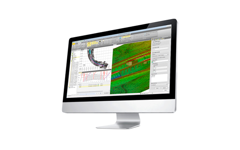
We often hear from users, that they bring all of their survey data in CSV format directly into Civil 3D. Some ask how they can utilize Trimble Business Center in their workflows, and use it as more than just a transfer tool to get data from the field into Civil 3D....
Tech Talk: Turning Point Clouds into 2D Drawings with GeoSLAM Draw

Tech Talk: Turning Point Clouds into 2D Drawings with GeoSLAM Draw

Dec 18, 2017 | 3D Laser Scanners

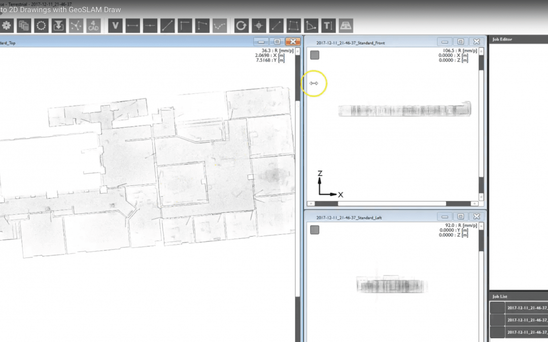
In this Tech Talk we demonstrate the GeoSLAM Draw tool within the GeoSLAM Hub software. This is a useful tool to take your 3D GeoSLAM point cloud data, and turn it into usable 2D CAD drawings quickly and easily.  
Using Laser Scanners for As-Built Construction Monitoring

Using Laser Scanners for As-Built Construction Monitoring

Nov 16, 2017 | 3D Laser Scanners, Build Construction, Laser Scanning Software

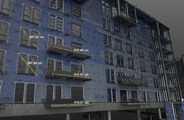
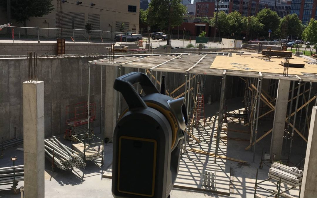
Did you know you can use laser scanners to collect as-built information during building construction phases? This data can give you millimeter level accurate information about building abnormalities, percent completion, 3D measurements, and other useful point data...
Tech Talk: Introduction to GeoSLAM’s ZEB REVO: The Go anywhere 3D Mobile Mapping Technology

Tech Talk: Introduction to GeoSLAM’s ZEB REVO: The Go anywhere 3D Mobile Mapping Technology

Oct 31, 2017 | 3D Laser Scanners, Build Construction

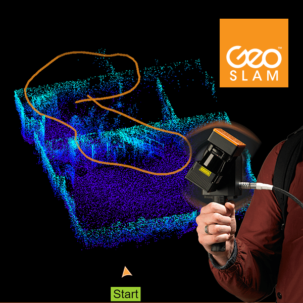
In this tech talk we give an introduction into GeoSLAM, a global market leader in 3D geospatial technology solutions. The GeoSLAM ZEB-REVO features a simple to use ‘walk and scan’ handheld laser scanner to easily collect 3D information about your surroundings. This...
Frontier Precision, Inc. Announces Offering GeoSLAM’s ‘Go-anywhere’ 3D Mobile Mapping Technology: ZEB-REVO

Frontier Precision, Inc. Announces Offering GeoSLAM’s ‘Go-anywhere’ 3D Mobile Mapping Technology: ZEB-REVO

Sep 7, 2017 | 3D Laser Scanners, News & Industry Updates

Bismarck, ND (Corporate) – Frontier Precision is excited to announce its new partnership with GeoSLAM – a global market leader in 3D geospatial technology solutions. Frontier is now a reseller in Minnesota, North Dakota, South Dakota, Colorado, Wyoming, Utah, Montana,...
Using the SX10 to Capture Construction As-Built Data

Using the SX10 to Capture Construction As-Built Data

Jun 5, 2017 | 3D Laser Scanners, Build Construction, Laser Scanning Software, Survey Field Controllers, Survey Field Software, Survey Office Software, Total Stations

Information on a project is key. The data is out there, but we haven’t always had the tools to effectively capture it. The verification of placement of key items and materials can save a contractor’s profit margin, but the process of gathering as-built...
Next Entries »

Events

  • XPONENTIAL 2025 on May 20, 2025 8:00 am
  • 1, 2, or 3 Day Survey Training Opportunity — Seattle, WA on May 27, 2025
  • 2025 Esri User Conference on July 14, 2025
  • THE UTILITY EXPO 2025 — LOUISVILLE, KY on October 7, 2025

Contact Frontier Precision

Frontier Precision Shop

Frontier Links


  • Value-Added Services
  • Repair & Maintenance
  • Training & Events
  • About Us
  • Contact Us
  • Privacy Policy
Support


  • Frontier Blog
  • Surveying Support
  • Mapping & GIS Support
  • Mosquito GIS Software
  • Invasive Plant Control Software
  • Learning Lab
  • Repair & Maintenance
  • Tech Talks
  • Webinars
Products


  • Available Online
  • Used & Clearance
  • Rental Equipment
  • Survey
  • Mapping
  • Trimble Catalyst
  • Damage Prevention & Locating
  • Laser Technology
  • Mosquito & Vector Control Software


  • Invasive Plant Control Software
  • Drones/UAS
  • Scanning/Imaging
  • Construction
  • Augmented Reality
  • Mixed Reality
  • Forensics
  • Water Resources
  • Software
Helpful Links


  • Trimble
  • Spectra Precision
  • Esri
  • Juniper Systems
  • Laser Technology

Stay informed on Frontier Precision and other industry news and events by signing up for our newsletter.

  • Follow
  • Follow
  • Follow
  • Follow

Privacy Policy   |   Site by BeBizzy Consulting

© 2025 Frontier Precision