Jul 27, 2022 | Survey Field Controllers, Survey Field Software, Survey GNSS Recievers, Survey Office Software, Technical Support, Total Stations
Select the proper link for your version of Civil3D. This will download the executable to install the Trimble Link extension into your Civil3D software. Trimble Link allows you to interface directly with Trimble devices and filetypes within Civil3D. If the Trimble Link...

Jun 27, 2022 | Construction Tools, Dashboard, ESRI, Esri, Events, Field Maps, GIS, Handhelds with GNSS, Imaging, In-pipe Flow, Local Government, Mapping GNSS Recievers, Mapping Trimble Field Software, Mapping/GIS, MGIS Field Software, MGIS Office Software, Mobile, Mosquito & Vector Control, News & Industry Updates, Professional Services, Storm Water Monitoring, Survey, Technical Support, Total Stations, Training, UAV Systems, Unmanned Aircraft Systems - UAS, Utilities, Water & Waste Water, Water Flow & Discharge Measurement, Water Level Monitoring, Water Quality Monitoring, Water Resources, Web AppBuilder
Frontier Precision provides implementation services, training, and technical support to ensure you start down the right path with Esri ArcGIS or to help keep the momentum going with your established GIS initiatives.For over 30 years, Frontier Precision has been...
Jun 14, 2021 | Construction Tools, Dashboard, Esri, ESRI, Events, Field Maps, GIS, Handhelds with GNSS, Imaging, In-pipe Flow, Local Government, Mapping GNSS Recievers, Mapping Trimble Field Software, Mapping/GIS, MGIS Field Software, MGIS Office Software, Mobile, Mosquito & Vector Control, News & Industry Updates, Professional Services, Storm Water Monitoring, Survey, Technical Support, Total Stations, Training, UAV Systems, Unmanned Aircraft Systems - UAS, Utilities, Water & Waste Water, Water Flow & Discharge Measurement, Water Level Monitoring, Water Quality Monitoring, Water Resources, Web AppBuilder
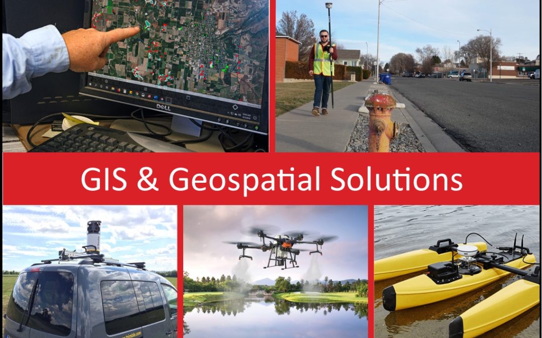
For over 30 years, Frontier Precision has been helping solve complex data collection challenges by seamlessly integrating GIS and field operations. Our unique capabilities revolve around apps for mosquito and invasive plant control, high accuracy GNSS, water...
Dec 21, 2017 | 3D Laser Scanners, Survey Field Controllers, Survey Field Software, Survey GNSS Recievers, Survey Office Software, Technical Support
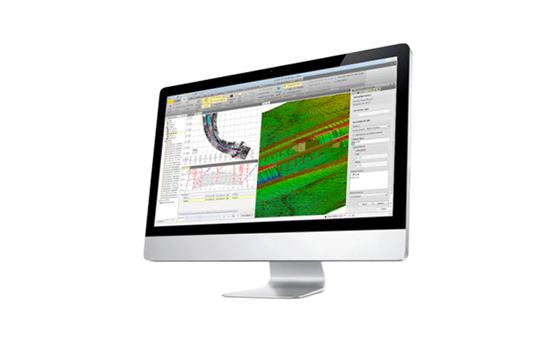
We often hear from users, that they bring all of their survey data in CSV format directly into Civil 3D. Some ask how they can utilize Trimble Business Center in their workflows, and use it as more than just a transfer tool to get data from the field into Civil 3D....
May 31, 2016 | Technical Support
Trimble has just released the new R2 Firmware v 5.14! We encourage all of our R2 users to up grade their R2 to this Firmware soon. The upgrade can be installed using the WebUI. For more instructions on how to access the WebUI and upgrade Firmware reference the video...
Dec 10, 2014 | Tech Talks, Technical Support
This Tech Talk highlights the basic overview of collecting point, line and area features using Trimble’s TerraSync software.Checkout some of our other TerraSync videos! Transferring Data Files Best Field Practices for Collecting Geospatial Data Differential...