Feb 28, 2018 | Esri, Land Mobile Hardware, Land Mobile Software, Laser Scanning Software, Mapping GNSS Recievers, Mapping Trimble Field Software, Mapping Trimble Office Software, Mapping/GIS, MGIS Legacy, Mobile Devices, Mosquito and Vector Control, News & Industry Updates, Rangefinders, Survey Field Controllers, Survey Field Software, Survey GNSS Recievers, Survey Office Software, Total Stations, UAS Processing Software, UAV Systems
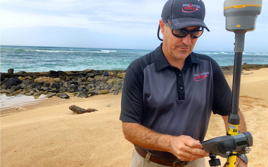
HONOLULU, HAWAII – Frontier Precision, a U.S. based geospatial technology company, announced the opening of an office and service center in Honolulu, Hawaii. The facility, located at 2144 Auiki Street, will provide the company’s full line of industry-leading products...
Oct 18, 2017 | ESRI, Mapping Trimble Field Software, Mapping Trimble Office Software, MGIS Legacy
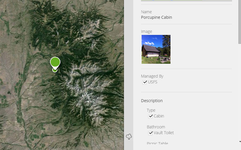
How do I take photos in the field and link them to my GIS data in the office? There have been so many techniques and options over the years that it’s difficult to keep track of the solution that’s right for you. The technique you use will depend on the field...
Apr 27, 2017 | Land Mobile Hardware, Land Mobile Software, Mapping Trimble Field Software, Mapping Trimble Office Software, Mosquito and Vector Control, Survey Field Controllers, Survey Field Software, Survey Office Software, Total Stations, UAS Processing Software, UAV Systems
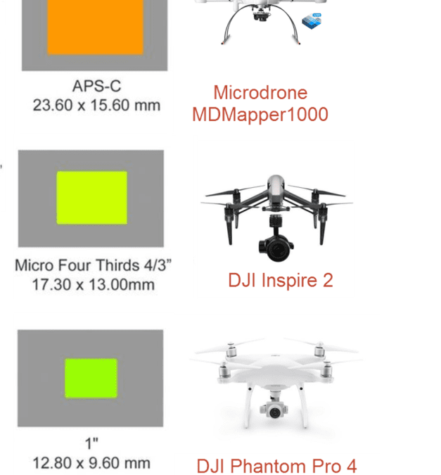
Article By, Jake Wittenberg – Geospatial Sales Representative | Frontier PrecisionAs we move into a visual world of data collection with image sensors mounted to everything there seems to be a large misconception on what actually matters. Understanding the true...
Apr 4, 2017 | ESRI, Mapping Trimble Field Software, Mapping Trimble Office Software
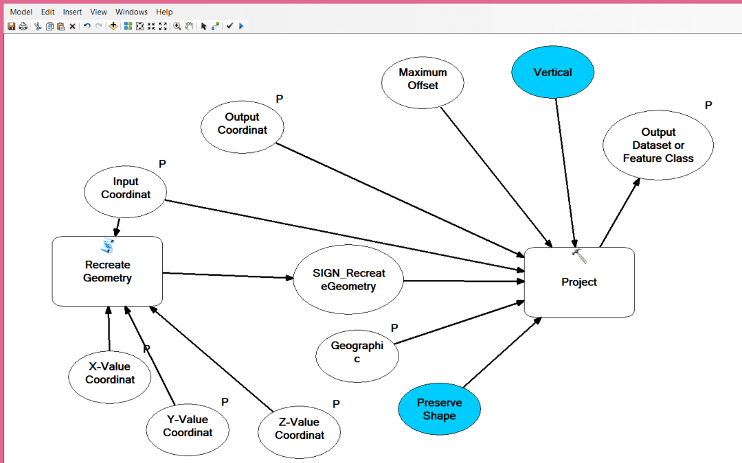
Due to the recent interest in our Collector vs. TerraFlex Webinar, I think it’s time we address datum management, both horizontal and vertical. High accuracy in either software is now attainable. 3D accuracy allows for not only excellent XY values, but also,...
Mar 4, 2016 | Mapping Trimble Office Software
Trimble Positions Software Suite Updates February 2016 Trimble has just released a new package update to the Trimble Positions Suite. The new Trimble Positions Suite has added support for Trimble high-accuracy GNSS receivers using Esri ArcGIS for Windows Mobile and...
Dec 14, 2015 | ESRI, Mapping Trimble Field Software, Mapping Trimble Office Software, Mobile Devices
One best practice for high accuracy GNSS mapping is “shooting control”. There are many ways in which GNSS users go about gathering their data, but a common theme should incorporate shooting some form of control. A “control”, as in any scientific endeavor, is conducted...








