Aug 20, 2021 | Mapping Trimble Field Software, Mapping Trimble Office Software, Mobile Devices, Survey Field Controllers, Survey Field Software, Survey GNSS Recievers, Survey Office Software
Trimble Identity (TID) is the sign-in functionality used to gain access to Trimble solutions. In an effort to make the platform more secure and protect your privacy, Trimble has been adding security updates that will take full effect on August 30, 2021. This update...
Jan 27, 2021 | ESRI, Esri, Field Maps, GIS, Handhelds with GNSS, Mapping GNSS Recievers, Mapping Trimble Field Software, Mapping Trimble Office Software, Mapping/GIS, MGIS Field Software, MGIS Office Software, Uncategorized
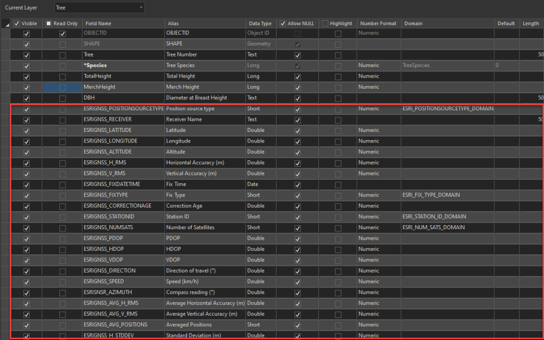
Proving that GNSS data has been collected with high accuracy is just as important as selecting the proper equipment and exercising best data collection processes. GNSS metadata can be a simple way to capture the needed information to prove your data is indeed high...

Oct 21, 2020 | Mapping Trimble Field Software, Mapping Trimble Office Software
Frontier Precision’s focus is to provide full solutions for our customers by keeping workflows streamlined and productive. There are some instances where the desired workflow is hindered by software limitations. What can Frontier do about that do you ask? In some...

Jul 7, 2020 | Environmental Monitoring, Esri, ESRI, Events, Forestry & Natural Resources, GIS, Ground Water Monitoring, Handhelds with GNSS, Land Mobile Hardware, Land Mobile Software, Land Mobile Systems, Laser Scanning Software, Local Government, Mapping GNSS Recievers, Mapping Trimble Field Software, Mapping Trimble Office Software, Mapping/GIS, MGIS Field Software, MGIS Office Software, Mining, Mobile, Mobile Devices, Mosquito & Vector Control, Professional Services, Rangefinders, Solid Waste, Storm Water Monitoring, Surface Water Monitoring, Survey, UAS Processing Software, UAV Systems, Unmanned Aircraft Systems - UAS, Utilities, Water & Waste Water, Water Flow & Discharge Measurement, Water Level Monitoring, Water Quality Monitoring, Water Resources, Weed Control
We might not be able to meet in person this year, but we are still just as excited to talk with you about our latest geospatial products and services. Frontier Precision leads the way with specialized field mobility workflows alongside Esri ArcGIS services. ...
Apr 28, 2020 | Mapping GNSS Recievers, Mapping Trimble Field Software, Mapping Trimble Office Software, Mobile Devices
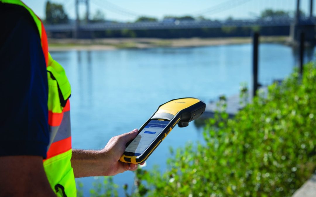
Trimble Positions Desktop 10.8.0.1 includes the option to configure Trimble Connect projects for cloud post processing. Data must be collected with an Android or Windows device with a supported Trimble receiver which are the R1, R2, TDC150, or EM100 GNSS module. This...
Apr 8, 2020 | Mapping Trimble Field Software, Mapping Trimble Office Software, Uncategorized, Webinars
Watch the recorded webinar for information on getting migrated from Trimble InSphere to Trimble Connect for TerraFlex. This quick 20-minute video covers: Why migrate to Trimble Connect? How do I learn to use Connect? What will my InSphere Projects look like in...








