Nov 26, 2019 | Mosquito & Vector Control, Mosquito and Vector Control, ULV/Adulticiding, Uncategorized
We love releasing updates that include customer enhancement requests. Our v1.8 release includes a significant expansion to the warning information system that provides the flexibility to warn and inform your drivers of pretty much anything based on proximity to...
Aug 30, 2019 | Mosquito & Vector Control, Mosquito and Vector Control, ULV/Adulticiding
We’re excited to release a new version of FieldSeeker Windows ULV that has a couple of important new features and a variety of quality improvements. The main things in this version are support for metric units, color changes for consistency with Frontier’s...
Apr 3, 2019 | GIS, Larviciding, Local Government, Mapping/GIS, Mosquito & Vector Control, ULV/Adulticiding
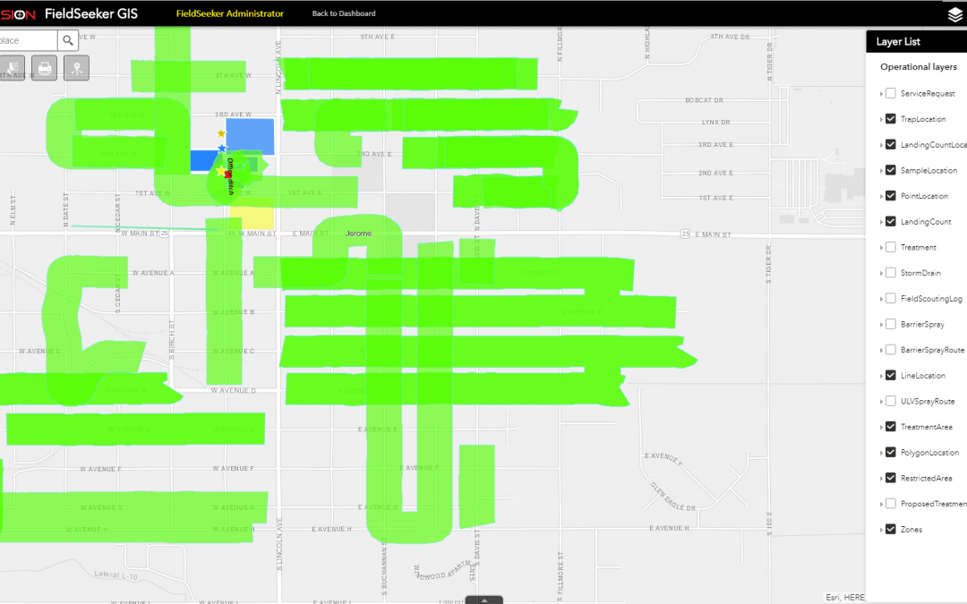
We’re excited to release a new version of Windows ULV software that contains some key features that many of our customers have been asking about. Even though Windows ULV doesn’t require any Esri licensing, a lot of our users have FieldSeeker Core software, which uses...
Jul 20, 2018 | GIS, Larviciding, Local Government, Mapping/GIS, Mobile, Mosquito & Vector Control, Service Requests, Surveillance & Disease Distribution, ULV/Adulticiding
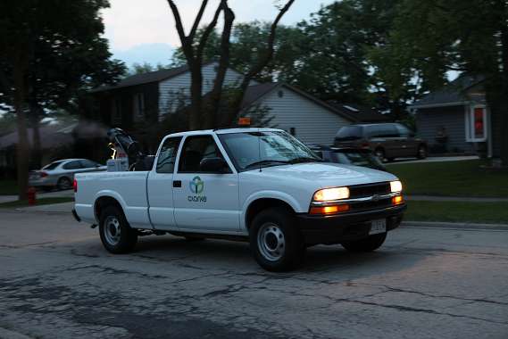
NEW! Line-based Spray Routes In version 1.5 we introduce simple support for line-based spray routes. The mobile software will display the given route while the field operator does a spray session, providing visual guidance on where to start, where to turn the sprayer...
Jun 18, 2018 | Forestry & Natural Resources, GIS, Handhelds with GNSS, Larviciding, Local Government, Mapping/GIS, Mosquito & Vector Control, Service Requests, Surveillance & Disease Distribution, ULV/Adulticiding, Weed Control
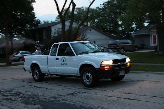
NEW! Sync Data Through Google Drive or Dropbox Windows ULV makes data management even easier with the option to sync data through Google Drive or Dropbox.After field data is collected, data can still be synced wirelessly to a network location (if supported by...
Feb 23, 2018 | GIS, Larviciding, Mapping/GIS, Mosquito & Vector Control, Service Requests, Surveillance & Disease Distribution, ULV/Adulticiding
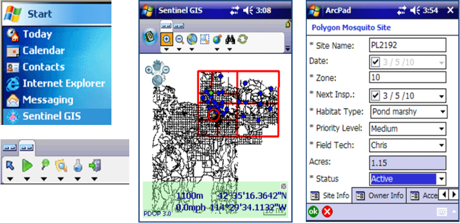
Sentinel GIS began in 2007 with a handful of early adopters implementing field Larviciding data collection and reporting based on ArcPad and ArcMap. Within a short time, we added Adulticiding, then continued the modular approach with Surveillance and Service Request...