Apr 18, 2018 | Survey Field Controllers, Survey Field Software, Survey GNSS Recievers, Survey Office Software, Total Stations
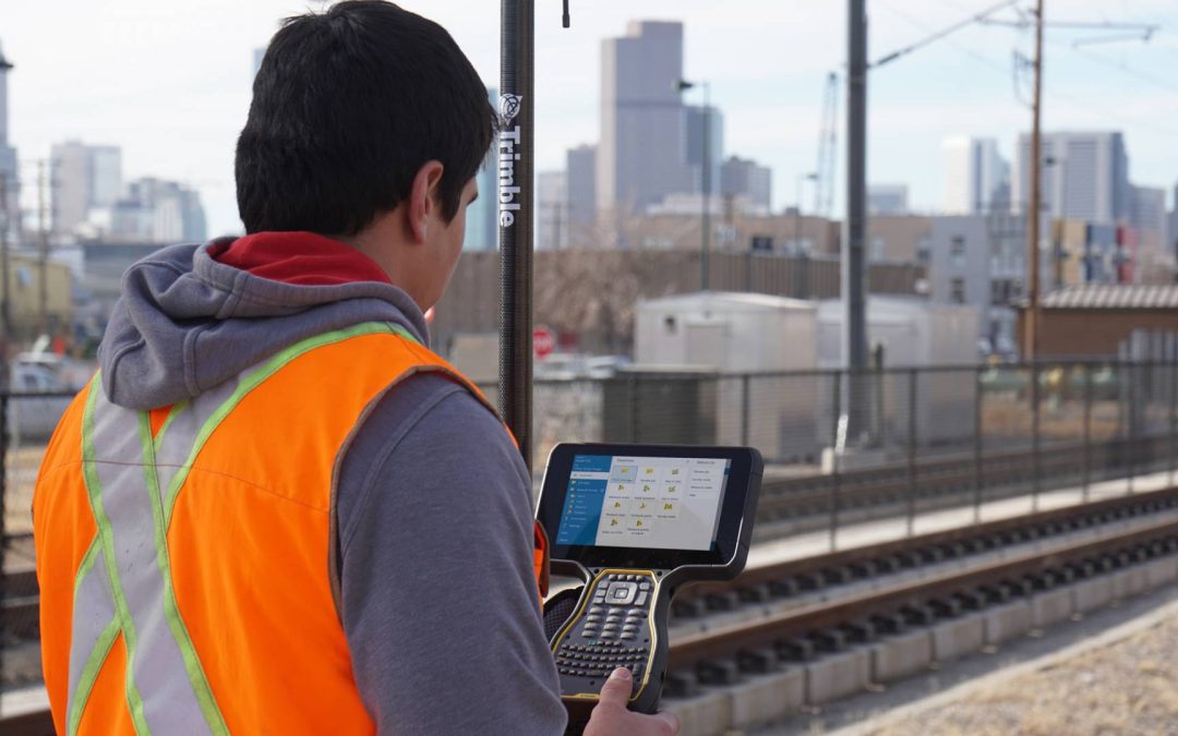
Introducing the Trimble TSC7 Controller, a new field solution for land surveyors. The TSC7, combined with specialized software, defines the next generation of data collection and computing for mobile workers.The Trimble TSC7 brings powerful enhancements to the field....
Mar 19, 2018 | 3D Laser Scanning, News & Industry Updates, Survey, Survey Field Controllers, Survey Field Software, Survey GNSS Recievers, Survey Office Software, Total Stations
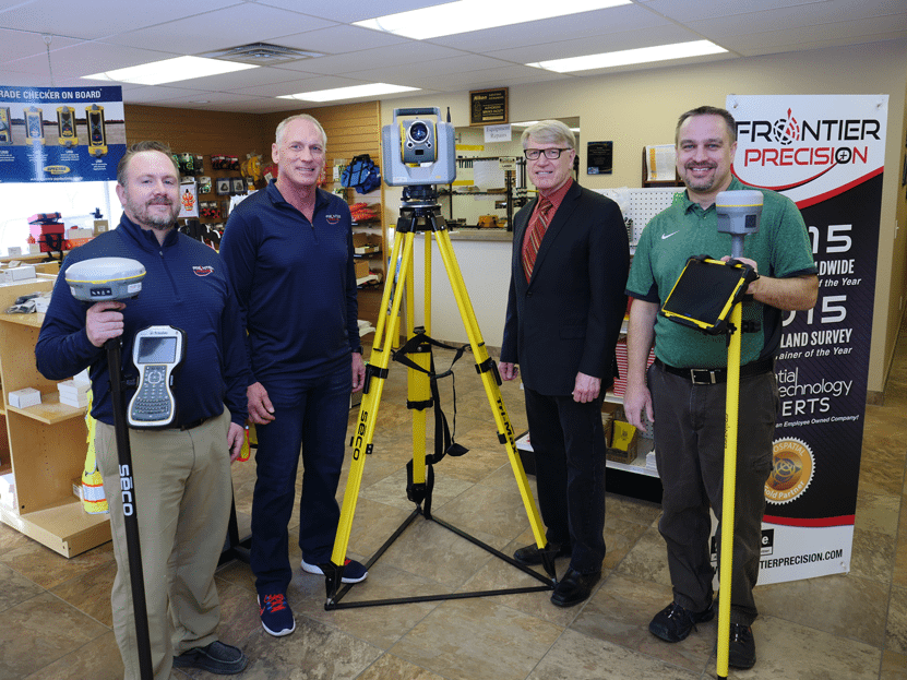
PHOTO: L to R: Frontier Precision Geospacial Sales Engineer Nathan Kupfer, Frontier Precision CEO and President Dennis Kemmesat, BSC President Larry C. Skogen and BSC Associate Professor of Civil Engineering Technology Dave Sagsveen. BISMARCK, ND – Starting in the...
Feb 28, 2018 | Esri, Land Mobile Hardware, Land Mobile Software, Laser Scanning Software, Mapping GNSS Recievers, Mapping Trimble Field Software, Mapping Trimble Office Software, Mapping/GIS, MGIS Legacy, Mobile Devices, Mosquito and Vector Control, News & Industry Updates, Rangefinders, Survey Field Controllers, Survey Field Software, Survey GNSS Recievers, Survey Office Software, Total Stations, UAS Processing Software, UAV Systems
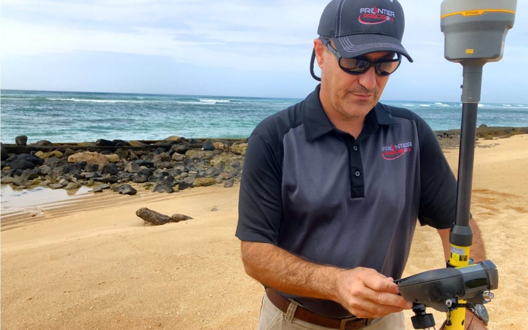
HONOLULU, HAWAII – Frontier Precision, a U.S. based geospatial technology company, announced the opening of an office and service center in Honolulu, Hawaii. The facility, located at 2144 Auiki Street, will provide the company’s full line of industry-leading products...
Jan 30, 2018 | Survey Field Controllers, Survey Field Software, Survey GNSS Recievers, Survey Office Software, Total Stations
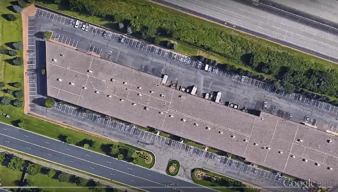
In this Tech Talk video we demonstrate how to create custom aerial image background files using Google Earth imagery. This process includes saving the aerial image in Google Earth, georeferencing the image in Trimble Business Center; and importing the image into...
Jan 22, 2018 | 3D Laser Scanners, Land Mobile Hardware, Survey Office Software
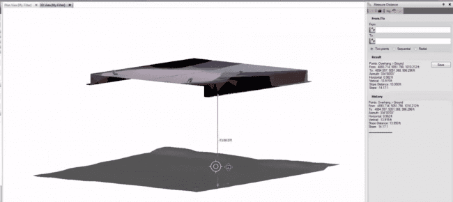
In this Tech Talk we demonstrate how to utilize Trimble Business Center to calculate clearance measurements. The point cloud data was captured using a Trimble SX10 scanning total station. These tools are great to use when measuring bridges, tunnels, and other...
Jan 8, 2018 | Survey Field Controllers, Survey Field Software, Survey GNSS Recievers, Survey Office Software
In this video we demonstrate a workflow in Trimble Business Center that can be used to salvage a static observation, where the receiver settled and moved out of level during the data collection. This is not a “silver bullet” solution, but it can be a very...








