High Accuracy GNSS in Today’s Common GIS Workflows
Today’s field users and GIS folks now have more choices than ever regarding tools for field data collection. It makes sense that collecting data in the field is relatively easy given all these choices and the ability to use common devices like phones and tablets. Add in geopdf viewers and simple to use apps for Android and iOS, and someone with essentially no GIS skills can navigate and collect geometries and attributes. How many of these choices, however, are valuable to those who require high-accuracy GNSS alongside readily available GIS data in the field? Put yourself in the work boots of a utility crew responding to a mainline water break where seconds make a huge difference. The question becomes…with all the choices today for streamlined workflows, how can I ensure high-accuracy GNSS yet maintain a productive environment for data collection and mobile GIS?
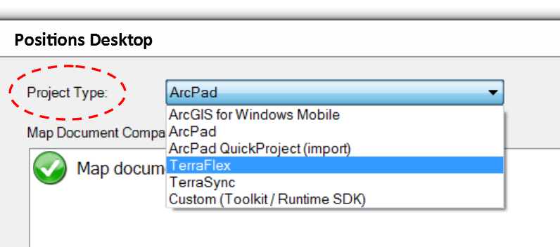
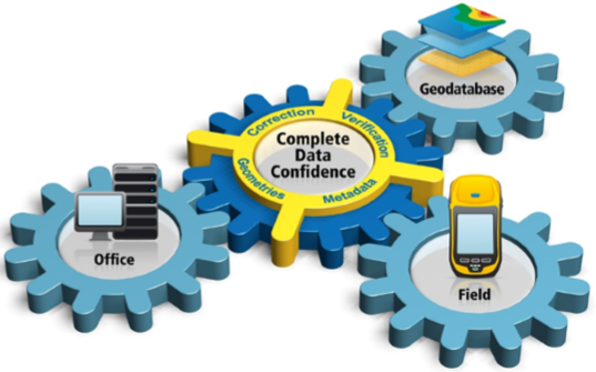
The answer resides in the Trimble Positions software and the new functionality available for supporting multiple workflows with a focus on both productivity and GNSS accuracy. This means from within Positions desktop (for ArcGIS) you can configure ArcGIS Mobile, ArcPad, TerraSync and TerraFlex for high accuracy GNSS. That is comforting (and efficient) to a GIS person in the office as well as a field user who has flexibility to choose the mobile application they like most.

Positions now supports the use of ArcGIS Online hosted features services with ArcGIS Mobile for high accuracy GNSS. Positions is used to configure the real-time correction source (i.e. VRS, Single Base, RTX, other) and apply an accuracy threshold to ensure the best possible GNSS results from the field.
Another important feature of Positions is the ability to generate and store GNSS metadata. The geodatabase is populated with horizontal and vertical estimated accuracies, in addition to Mean Sea Level (MSL) feature heights that are calculated using a geoid model in ArcGIS Mobile, ArcPad and TerraSync workflows.

With Positions you can configure ArcGIS Mobile and ArcPad to use the Trimble RTX real-time correction service. This means a Geo 7X with Floodlight and HStar can be used with RangePoint RTX (30cm) for a high accuracy workflow that synchronizes from the field to an ArcGIS Online hosted feature class using ArcGIS Mobile and cellular coverage.
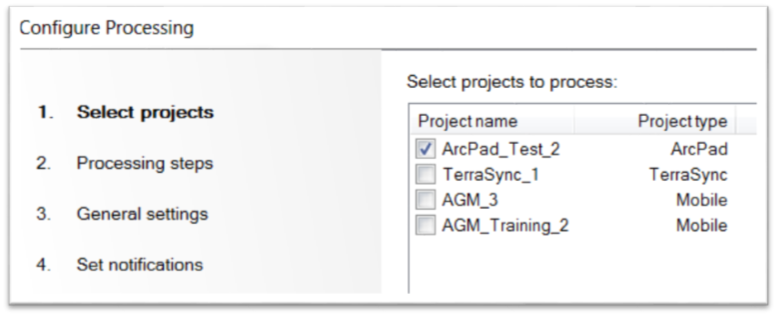
Lastly, a nice addition to Positions is the Session Processor which automates the routine tasks of importing data, post processing and updating the geodatabase. This is where the ability of Positions to record GNSS metadata is especially useful. A GIS tech in the office can quickly sort a geodatabase based on horizontal and vertical estimates to find features with poor GNSS results that may need remapping.


