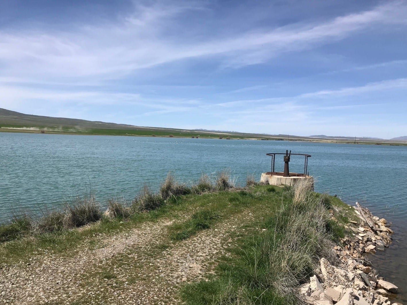
Irrigation District Measures Reservoir Seepage Losses
The Howell-Blue Creek Irrigation Company is located in northern Box Elder County, UT and is responsible for providing irrigation water to farmers and ranchers in the small, rural, community of Howell, Utah. The primary source of water for the Company is Blue Creek Reservoir. The reservoir captures water from snowmelt runoff and is fed by a perennial natural spring.
Over the past few years the company has become increasing concerned about how quickly the reservoir was draining during the irrigation season. Reservoir water loses appeared to far exceed the amount of water the reservoir was releasing to downstream users.
In an effort to quantify reservoir seepage losses, the company installed an In-Situ Rugged Troll 200 pressure transducer/logger and a Tube 300R cellular transmitter in the fall of 2018. The In-Situ Rugged Troll 200 water level sensor, combined with the Tube 300R transmitter was seen as a low-cost solution to accurately measure reservoir water levels. The cellular transmitter can operate for years on a single-battery with no solar panel and the transmitters small size allows it to be installed out-of-site, reducing potential for vandalism.

The transmitter measures the water level every hour and pushes the data to a cloud based data management program called HydroVu. Anyone with internet access and the proper log-in credentials can view the reservoir water level data graphically and download MS Excel compatible files for reports.
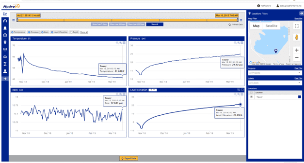
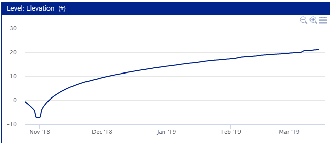
HydroVu graphic showing reservoir filling over a four-month period.
The instruments were installed in a stilling basin in the reservoir tower on October 27, 2018 and the above graph above shows the reservoir filling by March of 2019. Other windows on the main graph show raw water pressure, barometric pressure and water temperature.
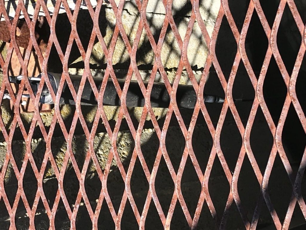
The In-Situ Tube 300R Cellular Transmitter and RuggedTroll 200 water level sensor hang beneath an expanded metal grate on the Blue Creek Reservoir tower.
Once the reservoir filled, the reservoir gates were set so that outflows from the reservoir match inflows. Reservoir inflow data is measured with a parshall flume and outflows are measured with a Mace AgriFlo flow meter with an area velocity flow sensor placed on the floor of a rectangular, concrete channel approximately 100 meters downstream from the dam. Data from these three devices will be used by the irrigation company and State water agencies to determine the amount of water loss due to seepage.
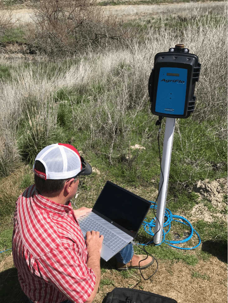
Scott Douglas, Water Manager, downloads flow data from a Mace AgriFlo flow meter.
Frontier Precision can assist you with a wide-range of water sensors and telemetry options. Visit: https://frontierprecision.com/water_resources/ to see available options or contact Steve Combe.


