Frontier Precision and Industry News

Consumer Tablets for Mobile Mapping

Consumer Tablets for Mobile Mapping

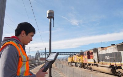
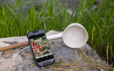
We are often asked for recommendations on which consumer tablets are best for field data collection with apps such as Collector, Survey123 or TerraFlex. We won’t be recommending any one tablet in this article but will give suggestions on specs to consider before...

read more
See Frontier Precision at 2019 Esri UC

See Frontier Precision at 2019 Esri UC

In just a few weeks, 19,000 professionals across industries will attend the Esri User Conference in San Diego for learning and networking opportunities.  Please make time in your busy schedule to stop by Booth 2027 to engage the Frontier Precision Mapping & GIS...

read more
DJI Phantom 4 RTK processing in Klau PPK Software

DJI Phantom 4 RTK processing in Klau PPK Software

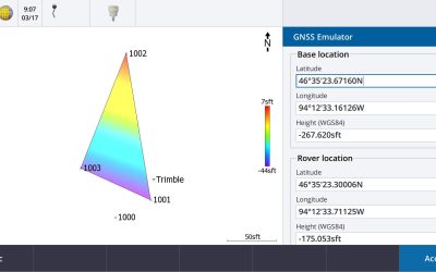
In this Tech Talk we show the workflow for processing PPK flights from your DJI Phantom 4 RTK drone in the Klau PPK software. This method allows DJI Phantom 4 RTK users to process their PPK flights using either the DJI D-RTK2 base station, or their own base stations...

read more
Irrigation District Measures Reservoir Seepage Losses

Irrigation District Measures Reservoir Seepage Losses

The Howell-Blue Creek Irrigation Company is located in northern Box Elder County, UT and is responsible for providing irrigation water to farmers and ranchers in the small, rural, community of Howell, Utah. The primary source of water for the Company is Blue Creek...

read more
New Release – v1.6 Windows ULV Adulticiding

New Release – v1.6 Windows ULV Adulticiding

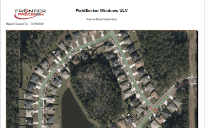
We’re excited to release a new version of Windows ULV software that contains some key features that many of our customers have been asking about.  Even though Windows ULV doesn’t require any Esri licensing, a lot of our users have FieldSeeker Core software, which uses...

read more
Frontier Precision Trimble R10-2 Tech Talk

Frontier Precision Trimble R10-2 Tech Talk

Are you tired of using a third party application to get your receiver working properly with Esri Collector for ArcGIS? This video will show you how fast and easy it is to pair a dual-threat Trimble R10 Model-2 receiver for use in High Accuracy GIS applications.

read more
Mapping & GIS GPS Week Number Rollover

Mapping & GIS GPS Week Number Rollover

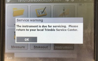
Are you covered for the GPS Week Number Rollover? As many of us are aware, there is an impending GPS Week Rollover coming on April 6th. Here is a statement released from Trimble. Trimble Mapping & GIS Handhelds and Receivers "A GPS week rollover will occur at the...

read more
Are you covered for the GPS Week Number Rollover?

Are you covered for the GPS Week Number Rollover?

As many of us are aware, there is an impending GPS Week Rollover coming on April 6th. We have had many users call in with concerns about their GNSS equipment being able to handle it. Here is a statement released from Trimble back in January. “A GPS week rollover will...

read more
Construction Site Water Quality Monitoring

Construction Site Water Quality Monitoring

Stormwater runoff from construction sites has been identified by the US EPA as a major source of pollution in rivers and streams. Construction sites immediately on or adjacent to rivers are especially scrutinized. In these cases, the contractor may be required to...

read more
Delair Expands Drone Repair and Maintenance Operations to US

Delair Expands Drone Repair and Maintenance Operations to US

Delair Expands Drone Repair and Maintenance Operations to US, Qualifies Two Service Firms to Provide Front Line Support to UX11 Customers LOS ANGELES – January 28, 2019 -- Delair, a leading supplier of commercial drone solutions, today announced the expansion of its...

read more
Collector for ArcGIS V18.1.0 Release for iOS

Collector for ArcGIS V18.1.0 Release for iOS

Esri® recently released Collector for ArcGIS v18.1.0 for iOS which includes some important updates for Trimble GNSS technology users.  With this release users can setup all real-time correction settings directly within the Collector for ArcGIS application.  The...

read more
Bring GIS to the field with Collector for ArcGIS!

Bring GIS to the field with Collector for ArcGIS!

Did you know that bringing GIS data to the field doesn't have to be difficult? Esri® Collector for ArcGIS has made gathering data and information in the field simple and easy! Use your smart phone or tablet with Collector for ArcGIS to replace paper forms.  Data...

read more
GIS Day 2018 is here!

GIS Day 2018 is here!

GIS Day 2018 is here! With the ease of access to data and information at our fingertips, we often forget how we got to where we are.  No, not in your office chair or at the coffee shop where you are reading this, but with technology.  Today we can engage with our data...

read more
Frontier Precision Featured in Sioux Falls Business Article

Frontier Precision Featured in Sioux Falls Business Article

Drones move from trendy to business tool as companies find new uses for them Nov. 8, 2018 By Rob Swenson, for SiouxFalls.Business Once a month, Concrete Materials flies a drone over stockpiles of rock, sand or gravel in the Sioux Falls area to measure the company’s...

read more