


Frontier Precision and Industry News

Tech Talk: Compensator Calibration for Trimble Robots
In this video we discuss the importance of the Compensator Calibration for your Trimble robotic total station. We discuss when this calibration should be performed, how to check the electronic level to determine if it is needed and demonstrate the procedure to do the...

Updates on Trimble RTX for Mapping Applications
The March 2020 update to the Trimble Mobile Manager(TMM) app includes the ability to select an output GNSS reference frame that can be communicated over to other apps such as Collector for ArcGIS. This will affect many of our customers that are interested in or are...
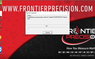
Tech Talk: Trimble R8-3 firmware upgrade via TSC7
In this video we show how to update a legacy R8 receiver firmware via Trimble's WinFlash Utility. We also demonstrate how this can be done right on a TSC7, T7 or T10. This process does not include the R8s, R10, R10-2 or the R-12 as they update via Trimble Installation...
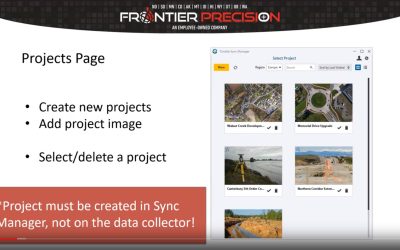
Webinar: Utilizing Trimble Sync Manager for Remote Operations
In this technology webinar we discuss Trimble Sync Manager and how it can be utilized for remote operations. This is helpful in situations where field crews work remotely or are unable to check in at the office every day. Trimble Sync Manager is an easy to use...
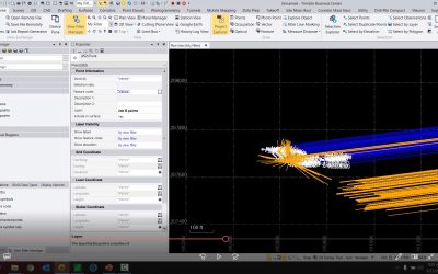
Tech Talk: Organizing Points in Trimble Business Center
In this video we show you some tricks to help organize points in Trimble Business Center. This can be useful when working with large projects, or projects with several job files imported into it.

How to Manage Subscriptions and Users in Trimble License Manager
The Trimble License Manager is utilized for managing licenses for subscription based software such as SiteVision, Catalyst, TerraFlex, and Penmap for Android. In this video, I will demonstrate how to add users to your account individually or through a batch import...
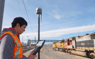
Tech Talk: How to Create a GNSS Contact in Trimble Access
In this video we show users how to create a GNSS Contact within Trimble Access. GNSS Contacts are needed for users that want to dial into a base station over IP, connect to a third-party RTN, or connect to a Trimble VRS network. The settings within the Contact define where the controller will log in/connect to, and the login credentials used to make the connection.

Adding Sequential Values With the Attribute Rules in ArcGIS Pro
The Attribute Rules in ArcGIS Pro is a tool to set user-defined rules to improve and automate the data editing experience when using geodatabase datasets. In this example we will be working on adding sequential values to your geodatabase. What this process will do is...
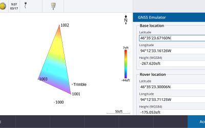
Tech Talk: Trimble Access GNSS Emulator
In this video we demonstrate how to utilize the GNSS emulator within Trimble Access. This can be a helpful tool to do some computations, training or demonstrating without having to go outside in the field and starting a full survey.
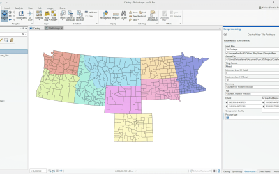
Sideloading Basemaps in Collector for ArcGIS For Offline Use
With the uptake in aerial mapping using drones and other imagery services in recent years, there has been an increased demand for custom basemaps for viewing during field data collection. Viewing imagery in areas with cellular connection can be simple, but how do you...
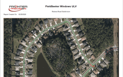
New Release – v1.9 FieldSeeker Windows ULV Adulticiding Software
Our v1.9 release adds some important features for Sentinel users who are converting to FieldSeeker Windows ULV, such as user-defined fields. We’ve also added a variety of tools for working with spray session data on the map, including spatial bookmarks, replay spray...

VectorSurv Gateway Now Integrated with FieldSeeker
What started as the CalSurv Gateway is now available in California, Arizona, Utah, New Jersey, and Tennessee as the Vectorborne Disease Surveillance System, and other states are looking to adopt the system. Participating agencies use the Vectorborne Disease...
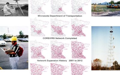
MnCORS Network Change 03/03/2020
The MnCORS Network will be transitioning to new servers and software on March 3, 2020. This transition will possibly require a few changes for users. In most cases the account information that you have been using will continue to work properly after the transition and...

First impressions of the Trimble X7’s cold weather capabilities
Today we took the Trimble X7 outside to scan in cold weather and test the high-sensitivity mode on some black cars parked in the parking lot. Check out the video below to see how it performed. In total today, we did 23 scans, two of them in high sensitivity, full...
Tech Talk: Utilizing the Cutting Plane View in TBC for Linear Feature Extraction
In this video we demonstrate how to cut "slices" along a linear path to extract road features from a point cloud. This is a useful tool when trying to define features along a roadway, such as curb and gutter. In this particular example, we show how to cut slices and a...

Tech Talk: Trimble Access- Staking with a Reference Alignment
In this video we demonstrate how to stake to a reference alignment. This will allow you to see your current position’s station and offset on an alignment, relative to a referenced road. When doing this, Trimble Access will record the design and reference alignment...
4th GPS Civilian Signal Goes Live
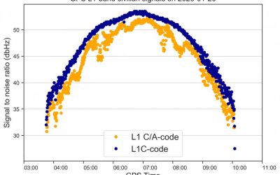
A new GPS civilian signal is now available for use. The new signal is stronger, more accurate, more resilient to interference events, and is inter-operable with the European Galileo system. This is made possible by the first GPS III becoming operational. The new...

Remote Water Quality & Level Monitoring Made Easy
The new VuLink cellular/satellite transmitter from In-Situ makes remote monitoring easier and more reliable than ever before. VuLink is optimized to work with In-Situ brand water quality and water level instruments with “one-touch setup” and can also be interfaced...