Frontier Precision and Industry News

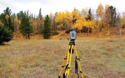
Using your robotic total station as a level.

Using your robotic total station as a level.

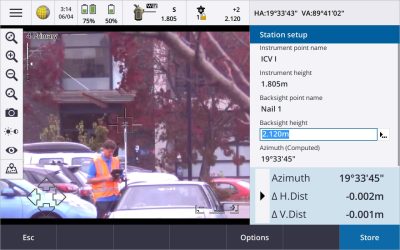
In this video we show how your robotic total station can be used as a level by utilizing the Survey Basic tool within Trimble Access General Survey. This is a quick and easy way to get elevation data on a job site when you do not have access to an auto or digital...

read more
Who Do You Trust?

Who Do You Trust?

Recently there have been a few posts that have exposed the “quality” of Google Earth, Bing Aerials, Esri Background Imagery, and others. One post by Brian Murphy on December 6th does an excellent job describing the nature of these imagery sources. He describes not...

read more
Benefits of using Trimble Business Center along with Civil 3D

Benefits of using Trimble Business Center along with Civil 3D

We often hear from users, that they bring all of their survey data in CSV format directly into Civil 3D. Some ask how they can utilize Trimble Business Center in their workflows, and use it as more than just a transfer tool to get data from the field into Civil 3D....

read more
Tech Talk: Working in any Reference Frame with Trimble RTX

Tech Talk: Working in any Reference Frame with Trimble RTX

In this video we show how Trimble's RTX service can be used with any project reference frame. Since Trimble RTX corrections only come in ITRF 2014, it can be difficult to utilize the service in projects that are not in the ITRF 2014 reference frame. In this video we...

read more
Tech Talk: Trimble Access COGO Series – Compute Inverse

Tech Talk: Trimble Access COGO Series – Compute Inverse

This Tech Talk video demonstrates the use of the Compute Inverse command within Trimble Access field software. This is one of the most common COGO commands used by surveyors. An inverse calculation is great for determining angles and distances between a set of two...

read more
Product Video: Trimble Forensics Reveal Software

Product Video: Trimble Forensics Reveal Software

This is a product demonstration for Trimble Forensics Reveal software. In this video we will highlight some of the core tools and features for creating crime and crash scene diagrams. Trimble Forensics Reveal Standard is the ultimate software solution for forensic...

read more
Tech Talk: Trimble MX7 Mobile Imaging Software Overview

Tech Talk: Trimble MX7 Mobile Imaging Software Overview

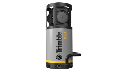
The Trimble MX7 Mobile Mapping Imaging system is a fast and cost effective way to manage assets such as bridges, buildings, roads, highways, and power stations, and document site conditions with geo-referenced images. The MX7 allows you to visually observe and capture...

read more
Using Laser Scanners for As-Built Construction Monitoring

Using Laser Scanners for As-Built Construction Monitoring

Did you know you can use laser scanners to collect as-built information during building construction phases? This data can give you millimeter level accurate information about building abnormalities, percent completion, 3D measurements, and other useful...

read more
Laser Technology, Inc. Mobile Mapping Webinar

Laser Technology, Inc. Mobile Mapping Webinar

Join Laser Technology, Inc. for their upcoming webinar on November 1st. Learn How Mobile Mapping is Changing with Android Apps, Laser Rangefinders, and GNSS to Create True GIS Synergy Reflectorless laser technology is the perfect solution for field measurements. From...

read more
Livestock Water Tank Level Monitoring and Telemetry Systems

Livestock Water Tank Level Monitoring and Telemetry Systems

“Eyes-in-the-Field” for Western Livestock Growers Livestock drinking water tanks and troughs dot the western landscape but few people outside of the livestock growers consider how valuable they are to the health and welfare of the millions of livestock scattered...

read more