Frontier Precision and Industry News

GNSS Best Practices: Control

One best practice for high accuracy GNSS mapping is “shooting control”. There are many ways in which GNSS users go about gathering their data, but a common theme should incorporate shooting some form of control. A “control”, as in any scientific endeavor, is conducted...

read more

Configure NMEA Output Using R10 WebUI

In this Tech Talk we show you how to configure the R10 to output an NMEA message using the WebUI. This is advantageous because it can be done in the field via your laptop, or right from your Trimble controller. This eliminates the need for a programming cable when one...

read more
New Tech Talk: Troubleshooting Windows Moblie USB Connections

New Tech Talk: Troubleshooting Windows Moblie USB Connections

Microsoft Connectivity Software To install software onto a Trimble device powered by Windows Mobile operating system, or to copy files between your handheld and computer, you must connect the device to a Windows computer. You will also need to install the appropriate...

read more

Tech Talk: TerraFlex Plug-in for ArcMap

This Frontier Precision Tech Talk will demonstrate how to use the TerraFlex Plug-in for ArcMap. Users of ArcMap are able to push feature class data from an Esri geodatabase directly into TerraFlex for field updates, automatically create field templates, minimize...

read more

Tech Talk: The NEW Trimble R2 GNSS Receiver

In this Frontier Precision Tech Talk we will give an overview of the Trimble R2 GNSS Receiver. The Trimble R2 receiver is versatile GNSS rover solution for geospatial applications ranging from sub-meter to centimeter accuracies to support any GIS or survey workflow on...

read more

Webinar: Best Practices for GIS Data Collection

Do you have questions about GIS data collection? Would you like to learn how to increase efficiency and accuracy to get the most out of your field sessions? This Frontier Precision webinar, hosted by Mel Philbrook will highlight some crucial information related to...

read more
Mosquito Control and UAS

Mosquito Control and UAS

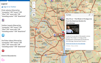
As a mosquito control professional, do you sometimes find it challenging to locate mosquito breeding sources in difficult to access areas?  Or do you wish you had a better method to inspect properties using an aerial view to identify potential breeding sources? ...

read more
Properly Displaying Background Data in Trimble TerraSync

Properly Displaying Background Data in Trimble TerraSync

Loading a background into Trimble TerraSync can be a handy tool for your next mapping project. In order to be successful there are a few settings that need to be configured for TerraSync to display your data. First, make sure that the Background option under Layers in...

read more

Tech Talk: Navigation using Trimble TerraSync on a Geo 7x

Where is that point? TerraSync can help you get there! In this Tech Talk we discuss how to use the navigation functionality of Trimble TerraSync. We will be using a Trimble Geo 7x with SBAS real time corrections, to navigate to a point and between two points along a...

read more
GIS-Centric – Why Does it Matter?

GIS-Centric – Why Does it Matter?

I spent some time last week with CityWorks® and its partners, responding to a mosquito control opportunity in Florida. One of the big selling points for CityWorks is that it is GIS-Centric. What does that mean? Why does it matter? In their case, it means that the...

read more
Field to Aerial – Closing the Loop

Field to Aerial – Closing the Loop

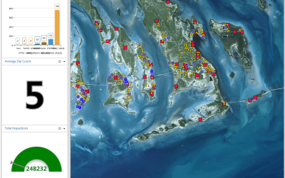
It’s critical that aircraft spraying be done effectively. Nothing is as expensive or as high profile as this type of treatment, and even in mosquito control operations that do a lot of it, efficient use of this tool is of utmost importance. FieldSeeker® GIS software...

read more