Frontier Precision and Industry News

How to get an AutoCAD Drawing into TerraSync as Background File

How to get an AutoCAD Drawing into TerraSync as Background File

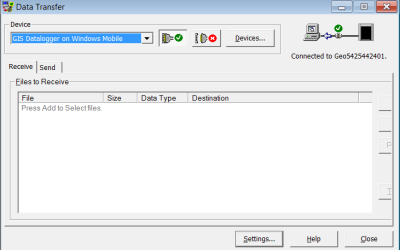
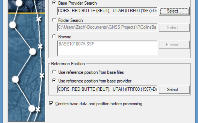
During the course of providing training for our customers who purchase a GNSS mapping system, we often get asked, “How do I get my AutoCAD drawing into TerraSync?” Depending on how AutoCAD is used, the drawing could have a known spatial reference or it could have an...

read more
California’s Record Drought: Bring on the Mandatory Cutbacks

California’s Record Drought: Bring on the Mandatory Cutbacks

To The Field and Back has been documenting California’s drought for some time now. We’ve talked about falling aquifer levels and also the complete lack of winter snow and its effects on water users for the rest of the year. On March 5, California made it official for...

read more
High Accuracy GNSS in Today’s Common GIS Workflows

High Accuracy GNSS in Today’s Common GIS Workflows

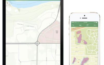
Today’s field users and GIS folks now have more choices than ever regarding tools for field data collection. It makes sense that collecting data in the field is relatively easy given all these choices and the ability to use common devices like phones and tablets. Add...

read more

New Tech Talk: TBC Project Cleanup Tool

In this session we show you how to utilize the Project Cleanup Tool in Trimble Business Center. The Project Cleanup Tool can remove unneeded objects, convert CAD lines into linestrings and join lines. This is an ideal tool to take DXF files and clean them up in TBC...

read more

New TBC Tech Talk Posted

In this Tech Talk we show you some of the ways to help manage your layers in Trimble Business Center. Layer management is a key component when working with large data sets, or working with DXF/DWG files, etc. Ensuring you have proper layer management will reduce...

read more
Geospatial Technology in Disaster Response

Geospatial Technology in Disaster Response

It has now been almost a month since Category 5 Cyclone Pam struck Vanuatu. With sustained winds greater than 160 MPH, much of the Island nation of Vanuatu has been devastated by wind damage to personal property and to civil infrastructure. It is difficult for the...

read more
Trimble VRS Discussion Webinar Now Available

Trimble VRS Discussion Webinar Now Available

Trimble VRS networks provide many benefits to users who work in areas where the networks are available. However, a lot of users do not understand how the network works. Also, when additional devices used to connect to the internet for corrections get involved,...

read more
A State on the Brink: California’s Lost Winter

A State on the Brink: California’s Lost Winter

California State officials are looking at serious water restrictions this spring and summer as the winter snowpack feel far below expectations. What’s next for an already-dry West? In December, a large storm ravaged the California coast, created power outages to...

read more

Tech Talk: Trimble R1 GNSS Receiver – VRS Corrections

In this Tech Talk we demonstrate how to configure VRS real-time corrections in the GNSS Status Utility app for use with the Trimble R1 GNSS Receiver. With VRS corrections you will receive real-time, high accuracy GNSS positioning to use with any compatible data...

read more
Webinar: Introducing the Trimble R1 GNSS Receiver

Webinar: Introducing the Trimble R1 GNSS Receiver

In case you missed it, Trimble held a webinar - Overcoming Accuracy Limitations of BYOD Smart Devices - on March 4th, 2015. If you were unable to attend, don't worry. The entire webinar was recorded and is available to watch and share with colleagues. In this...

read more
Tech Tip: Attaching the Laser Rangefinder Module

Tech Tip: Attaching the Laser Rangefinder Module

If you have just received your Geo7x Handheld with Integrated Laser Rangefinder Module, this tech tip will demonstrate how to attach the laser rangefinder module so you can start using Trimble's Flightwave technology. We also recommended regular inspection to ensure...

read more
Event-Based Water Sampling With ISCO Samplers

Event-Based Water Sampling With ISCO Samplers

Capturing the rising limb of a storm event and having the ability to collect water samples from industrial dischargers with intermittent flows can be challenging for agencies tasked with these responsibilities. This article details how a small, inexpensive tool...

read more
Interactive Maps and Public Health

Interactive Maps and Public Health

Many national and global health organizations closely monitor the appearance and distribution of human health risks due to bacterial and viral infections.  Maps and other geographic content have been an important tool in describing the distribution of disease and...

read more
The New Trimble R1 GNSS Receiver is Small but Powerful

The New Trimble R1 GNSS Receiver is Small but Powerful

Smart devices such as iPads and Android tablets are becoming more and more popular for collecting GIS data in the field.  They are affordable, readily available, and powerful and offer benefits that GIS folks like such as a larger view for displaying imagery and...

read more