Frontier Precision and Industry News

SX10 Topographic Scanning Tutorial: Field to Finish

SX10 Topographic Scanning Tutorial: Field to Finish

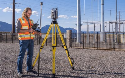
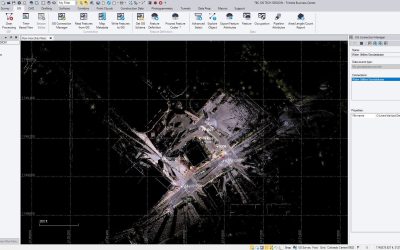
Often we get asked how to utilize SX10 scan data in TBC and Civil 3D for topographic surveying. Our friends at Trimble have put together an informative series of tutorials to help demonstrate this process. This tutorial video series demonstrates a topographic workflow...

read more
Automatic Water Sampler Comparison

Automatic Water Sampler Comparison

An automatic water sampler is essentially an intelligent pump that takes water from a source and deposits it into one or many bottles. Samplers can do this based on time, flow or some other externally measured parameter(s) such as rainfall, water quality, etc. An...

read more
Minnesota & Wisconsin County-based GEOID18 Models Available

Minnesota & Wisconsin County-based GEOID18 Models Available

The local county-based GEOID18 models are now available for Minnesota and Wisconsin for use with County Coordinate Systems. They can be downloaded from the Trimble website HERE under the GEOID18 link. Below is a document to assist with the process of downloading and...

read more
Support Bulletin – Geoid 18

Support Bulletin – Geoid 18

Most of us are now aware of the release of Geoid 18 from NGS. OPUS is now providing Geoid 18 solutions, so a model for us to be able to use in our Trimble software is needed. Below is a support bulletin from Trimble outlining the now available download in the GGF...

read more
Mean Sea Level Elevation Data Using Esri’s Collector App

Mean Sea Level Elevation Data Using Esri’s Collector App

With the availability of receivers like Trimble's R2 that can be used for high-accuracy data collection in 3rd party apps, many users want to collect vertical data in Esri's Collector.  However, Collector, as of today, only collects data in Height Above Ellipsoid...

read more
What’s New in FieldSeeker Windows ULV v1.7

What’s New in FieldSeeker Windows ULV v1.7

We’re excited to release a new version of FieldSeeker Windows ULV that has a couple of important new features and a variety of quality improvements.  The main things in this version are support for metric units, color changes for consistency with Frontier’s...

read more
Using the GIS Module for Trimble Business Center

Using the GIS Module for Trimble Business Center

In my latest tech talk, I collaborated with Troy Hernandez from our survey support team. With our combined expertise on GIS and Trimble Business Center, this video demonstrates how to transfer data from Trimble Access and TerraSync to a file geodatabase through the...

read more
Comparing mapping hardware and mobile apps

Comparing mapping hardware and mobile apps

For those of you looking to collect data with phones or tablets, check out our mobile app comparison. While all these apps have the standard mapping capabilities, each one has it's own functionalities that make them unique. Find the one that best fits your workflow....

read more
Trimble Dini Level Loop & Adjustment in TBC

Trimble Dini Level Loop & Adjustment in TBC

In this video we show how to run a simple closed loop level run, including side shots, with the Trimble Dini level. We demonstrate how to collect the data in the field, how to transfer to your computer and how to import the data file in to Trimble Business Center. We...

read more
Connecting with the Public Through Email Notifications

Connecting with the Public Through Email Notifications

Last year, Frontier Precision had the opportunity to work with Central Massachusetts Mosquito Control Project (CMMCP) to implement an email notification system for people who enter a service request for truck spraying.  This email notification project was added on to...

read more
Summer Savings – Juniper Systems Mesa 2 & Accessories

Summer Savings – Juniper Systems Mesa 2 & Accessories

Frontier Precision has a few specially priced new Mesa 2s Windows 10 Tablets as well as limited time promotion on discounted Mesa 2 and Allegro 2/3 accessories.  These discounts offer a great opportunity to increase workflow efficiency and get the most out of your...

read more
Galileo GNSS Outage

Galileo GNSS Outage

GNSS users that are currently utilizing the Galileo satellite system may have noticed a recent outage. It appears the system has been down for the past several days.   Over the weekend, the European GNSS Agency (GSA) said that Galileo was suffering from a full...

read more
Trimble Access 2019 CAD Toolbar

Trimble Access 2019 CAD Toolbar

This video demonstrates how the new CAD Toolbar in Trimble Access can enhance your topography workflows while using Measure Codes. This is a powerful new function that will speed up the process of measuring complex features and linework.

read more