The NGS Online Storage Transition from GPS only to GNSS is scheduled for October 1, 2013
Big news is coming from the NGS CORS Team as they are getting ready to transition from publishing GPS only data to GNSS data.
Taken from NGS CORS Website:
The NGS CORS Team is ready to transition from GPS-only to GNSS online storage of CORS data. (This includes only GPS+GLONASS data at the present time.) The transition is scheduled for 1 October 2013. No change in RINEX format will occur. CORS data in our online storage available via ftp or “Standard Download” have been in RINEX 2.11 format since 2007-Sep-10.
What is GNSS data?
Well, we should first discuss what is GNSS? GNSS is the broad generic term for all global satellite navigation systems in orbit. It stands for Global Navigation Satellite System. A Satellite navigation system with global coverage may be termed as GNSS. Examples of GNSS Systems include GPS, GLONASS, Galileo and COMPASS. As GPS has become a household term it’s often overlooked that there’s already another system called GLONASS that’s currently broadcasting usable frequencies to GNSS receivers that can utilize this data. Others GNSS Systems like COMPASS and Galileo are still being constructed and should be online the next few years.
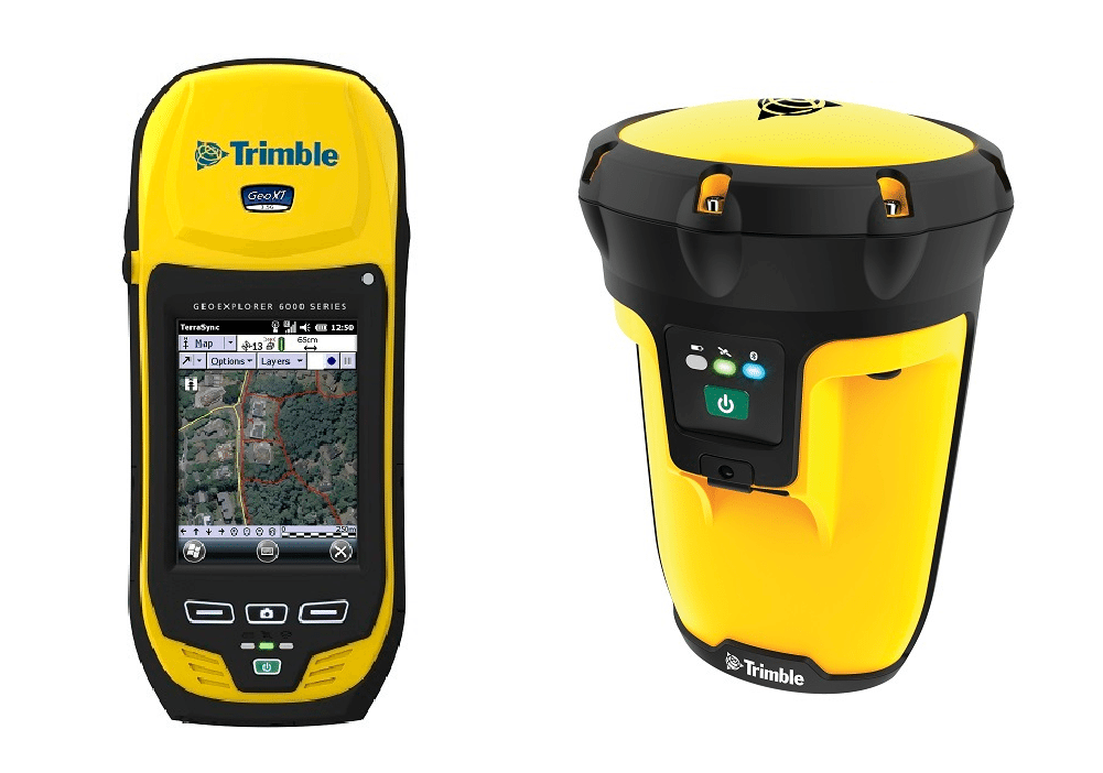
Receivers termed as GNSS refer to being multi-constellation capable, meaning – they can receive satellite signals from more than one GNSS system. As many of our users already know the Trimble 6000 Series GeoExplorer (GeoXH and GeoXT w/Floodlight Technology) and Trimble Pro Series Receivers (Pro 6H and Pro 6T w/Floodlight) are GNSS capable units that can track and use both GPS and GLONASS data to provide a solution to your positions on earth.

We know that using GNSS solutions can get us relatively close but it may not meet our accuracy requirements unless we apply differential correction techniques. We have been using and advocating Differential GPS for years. GNSS data has been available from certain CORS base stations since 2007. However, this data has not been readily and easily accessible through their FTP Server until now. The NGS Team is now providing an easy access solution to Differentially Correct both GPS and GLONASS data for all Trimble GPS Pathfinder Office and Trimble Positions Users.
What does this mean to users?
This means Trimble GPS Pathfinder Office and Trimble Positions users will have more GNSS differential correction options available, right out of the box, if you are Post Processing your data. The NGS Team has noted that there’s no change in the the Rinex Format or how the data is being stored to their FTP.
Because of this, Trimble GPS Pathfinder Office and Trimble Positions users are already setup to retrieve the CORS Basefiles in the proper format. At this time there is no further action required to Post Process all of your collected GNSS data! The only thing you will have to do is confirm which CORS Base stations are GNSS capable.
How do I know which CORS Base providers are GNSS capable?
Depending upon your software solution there are a couple of ways to verify which CORS base providers are GNSS capable:
1. Directly from the CORS website.
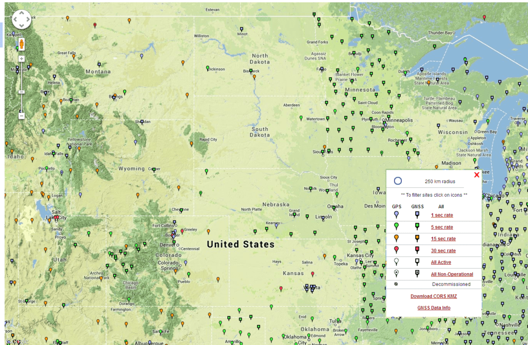
The NGS CORS has a published map listing the capabilities of each specific base station.
NGS CORS Map

This is also available from their website as a KMZ that can be opened in Google Earth.
Here is a direct download link to their KMZ.
Download CORS KMZ
2. From within Trimble’s GPS Pathfinder Office Software.
If you use Trimble’s GPS Pathfinder Office software it already lists what the capabilities are for each base System-Defined base provider.
Please note that it will take a few weeks for this list to be updated in Trimble’s database.
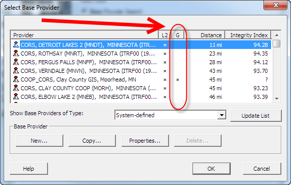
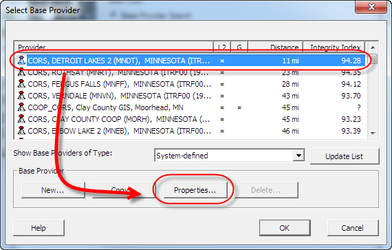
To view this information you’ll need to open GPS Pathfinder Office’s Differential Correction wizard. Right from the Select a base Provider screen, the G column will indicate whether the base receiver is GLONASS capable.

Frontier Precision customers should feel free to contact us with any questions regarding this change over.


