UAS/LIDAR

LIDAR/SENSOR SoLUTIONS DESIGNED FOR PRECISION DATA COLLECTION

With LiDAR, your first mapping and survey point should be with us. Our staff has the knowledge and real-world experience to help you implement LiDAR into your business. Just as important, with our range of LiDAR technology, you’ll find a solution that works perfectly with your budget.  

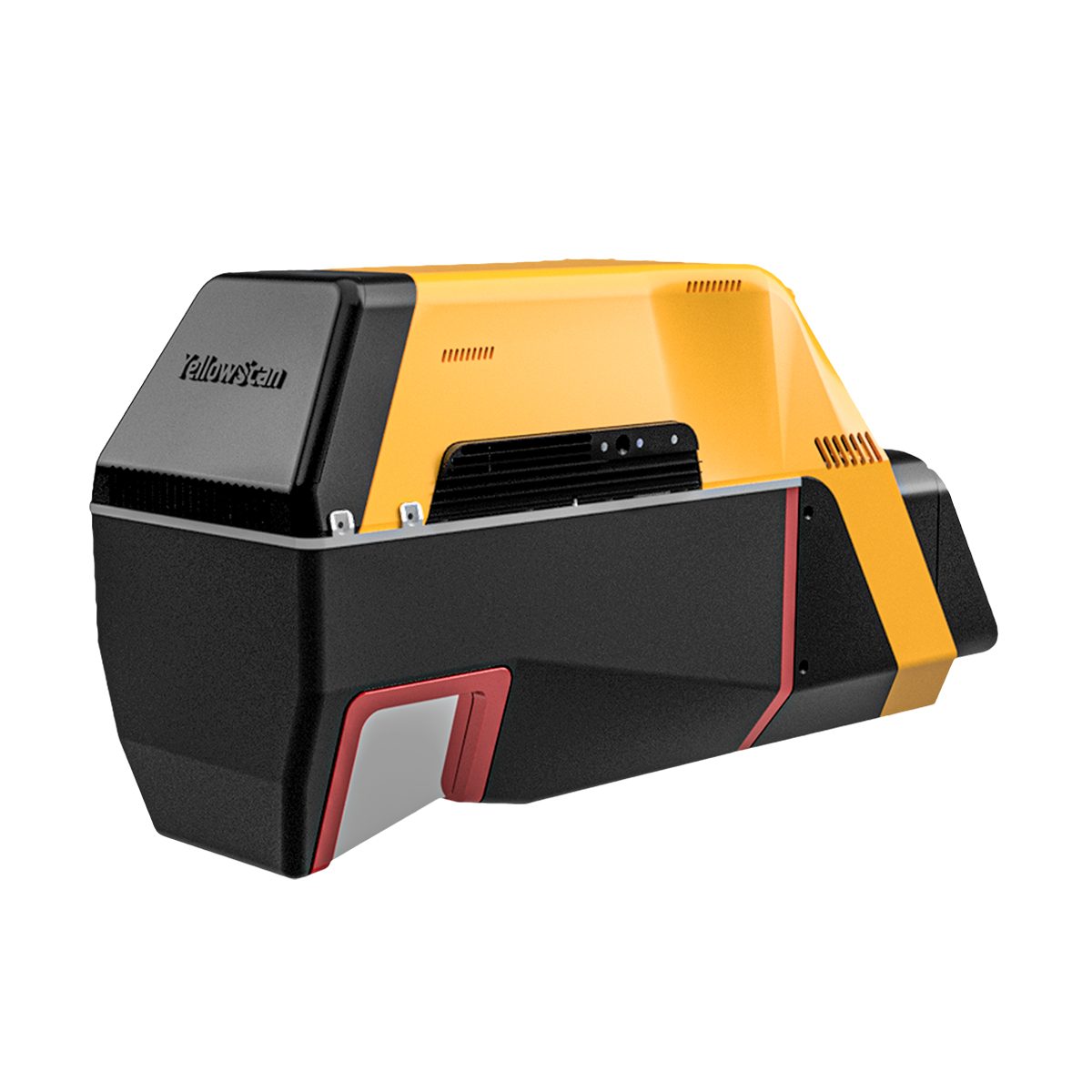
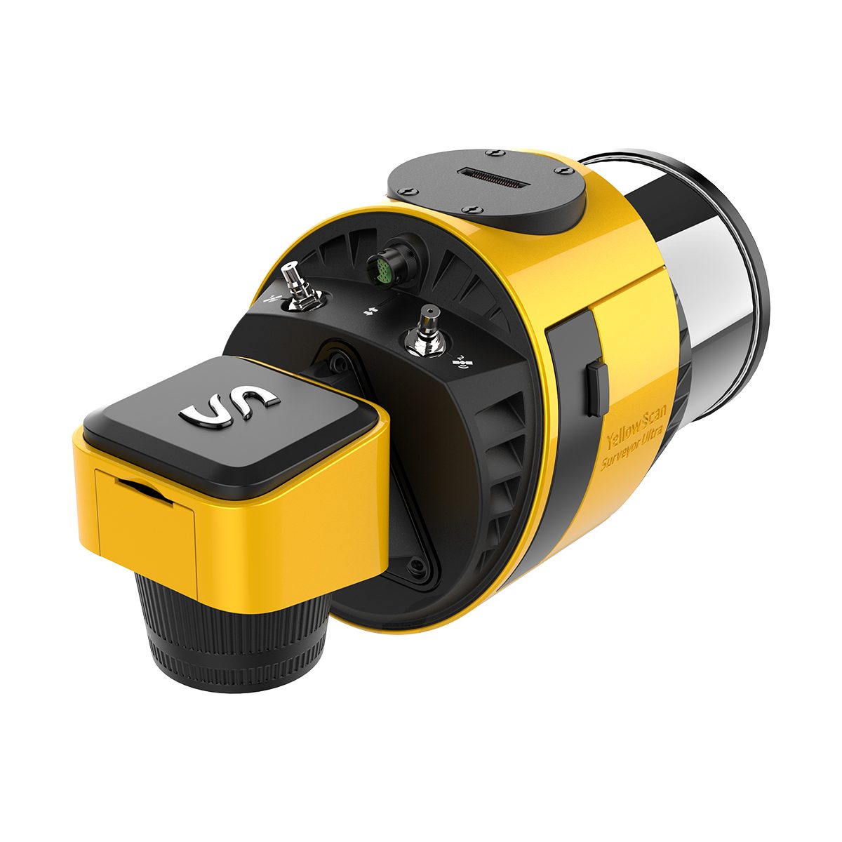
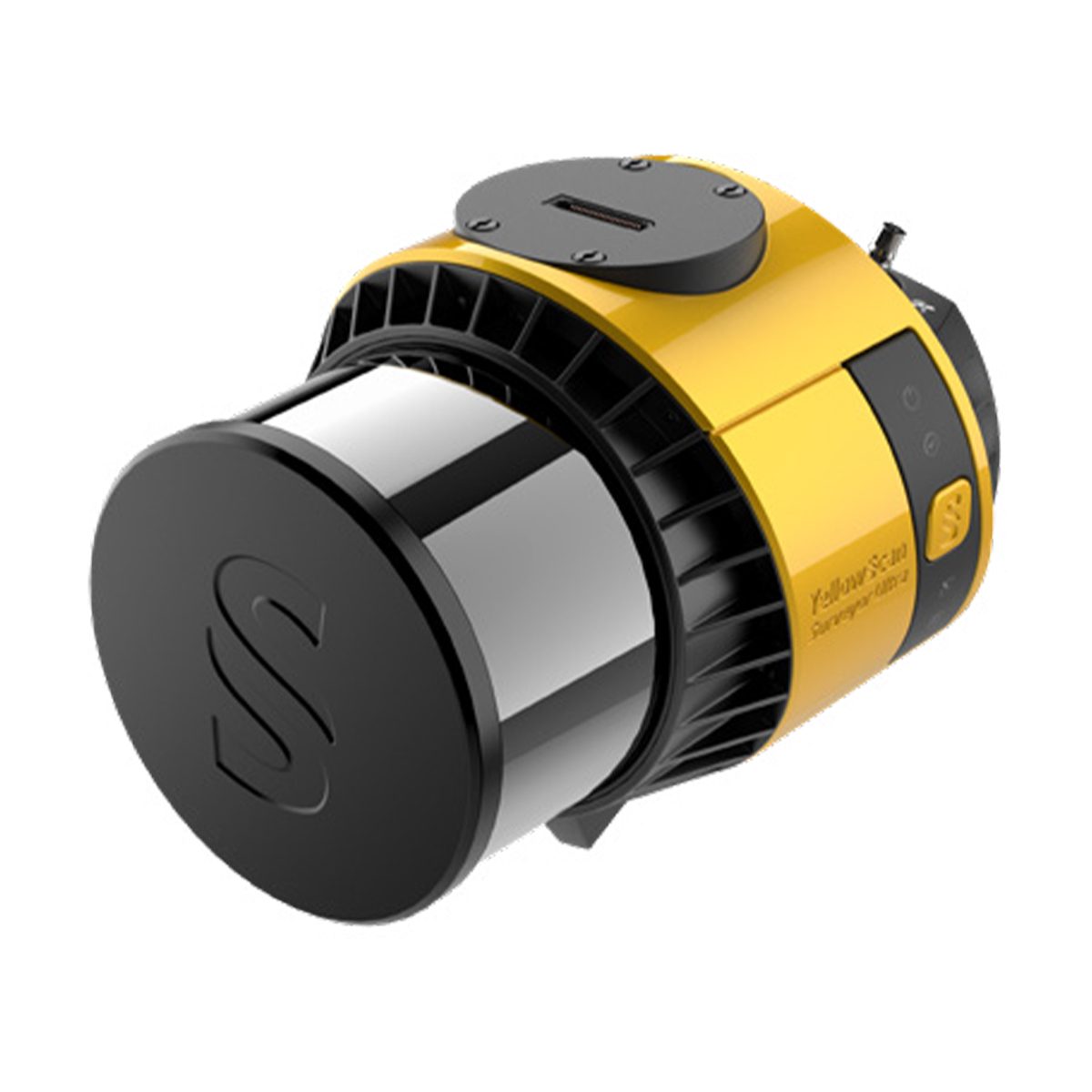
YellowScan 500w white


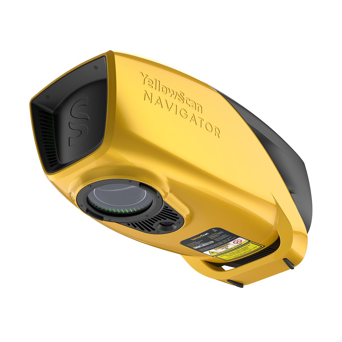
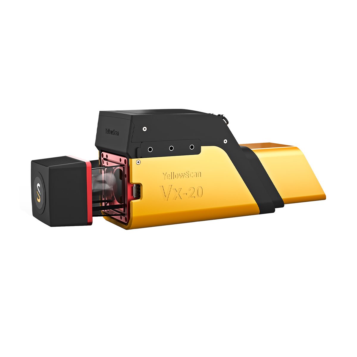
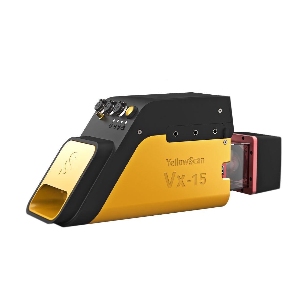
Lightness and accuracy combine for a LiDAR solution that works hard for you. The YellowScan LiDAR UAV delivers the highest level of accuracy and density for real-time georeferenced point cloud data.

  • Fully-integrated LiDAR hardware with laser scanner, IMU, GPS, embedded computer, batteries, and data storage
  • Real-time inflight LiDAR monitoring software
  • Flight trajectory correction
  • LiDAR data post-processing software for georeferenced point cloud visualization and generation in the projection of your choice


emesent horizontal logo 01

Through our solutions we automate the collection and analysis of data in challenging GPS-denied environments, delivering revolutionary efficiency, safety, and operational insights to underground mining and other industries. Our core areas of expertise are drone autonomy, SLAM-based LiDAR mapping, and data analytics.

  • 10+ years of CSIRO research
  • 250+ customers
  • 8000+ autonomous flights completed
  • 30+ countries
Quantum Systems New Logo

The Oube 240 is a geomatics grade LiDAR scanner providing essential information by generating an accurate point cloud of the processed environment through 240,000 distance measurements per second.

Ideal applications for the usage on board UAVs are in the following application scenarios:

  • Power Line Surveying and Mapping
  • Forestry & Agricultural Surveying and Mapping
  • Mobile Surveying and Mapping


sentera 70h

Sentera is a leading innovator in drone sensor technology, dedicated to providing cutting-edge remote sensing solutions for various industries.

Specializing in high-quality sensors, they are prioritizing precision, reliability, and performance in aerial data collection applications. 

Offering a diverse range of sensors, from advanced multispectral sensors to high-resolution cameras, Sentera delivers unparalleled accuracy and performance.

Backed by industry expertise and a commitment to innovation, they empower clients in more than 45 countries to unlock new possibilities in data-driven decision-making.


RELATED Lidar PRODUCTS
Visit the Frontier Precision Shop for products related to Lidar and more!

Upcoming Training Events

Frontier Precision offers affordable regularly scheduled certified training classes, online eLearning, webinars, as well as custom training options to meet your specific training needs.