


UAS – Emesent
LIDAR – MAPPING ACCURACY, REDEFINED.

Emesent is a world leader in drone autonomy, lidar mapping, and data analytics.
Founded in 2018, after a decade of cutting-edge research at the Robotics and Autonomous Systems arm of the Commonwealth Scientific and Industrial Research Organisation (CSIRO), Emesent has built a reputation for delivering high quality data capture, working side-by-side with customers to provide revolutionary efficiency, safety, and operational insights.
Our expertise spans Robotics, Autonomy, AI, Machine Learning, and Data Analytics, with research and development exploring new possibilities and developing innovative technologies as we advance the autonomous digitisation of the physical world.
Fast, accurate, high-detail mobile data capture
Hovermap incorporates the latest in LiDAR sensing technology to offer high density point clouds with exceptional coverage. Featuring a sensing range of up to 300 meters and more than a million points per second, Hovermap captures detailed, accurate data over a wide area fast – accelerating your time to insight.


Emesent Datasheets & Information
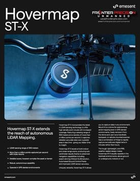
Emesent Hovermap ST-X
Brochure
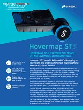
Emesent Hovermap ST-X
Flyer
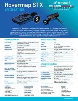
Emesent Hovermap ST-X
Spec Sheet
Emesent Hovermap ST-X
White Paper
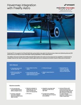
Emesent Hovermap ST-X
Integration with Freefly Astro Flyer
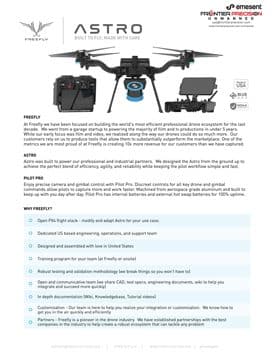
Emesent Hovermap ST-X
and Freefly Astro Flyer
Upcoming Training Events
Frontier Precision offers affordable regularly scheduled certified training classes, online eLearning, webinars, as well as custom training options to meet your specific training needs.