Mapping & GIs

INVASIVE PLANT CONTROL

Invasive Plant Control 1 scaled 1 1
Frontier Precision provides complete office and field solutions for mapping and reporting Integrated Weed Management Plan activities.

FieldSeeker® GIS for Invasive Plant Control software is designed to be the hub for all important data so it may be shared, analyzed or updated throughout an organization.

FieldSeeker Logo for Plants 1024x203 1

FieldSeeker Invasive Plant

FIELDSEEKER INVASIVE PLANTS

  • Plant Occurrence
  • Assessment
  • Bio-release
  • Chemical or Mechanical Treatment
  • Treatment Assessments
  • Service Requests

FIELD AND OFFICE SOLUTIONS FOR Invasive plant control

FieldSeeker Windows ULV TN 300x300 1

FIELDSEEKER WINDOWS ULV ADULTICIDING EXTENSION


Frontier Public Notification App TN 300x300 1

FRONTIER PUBLIC NOTIFICATION APP


Why Esri GIS Services TN 300x300 1

WHY THE ESRI PLATFORM? GIS PROFESSIONAL SERVICES


Mobile Devices TN 300x300 1

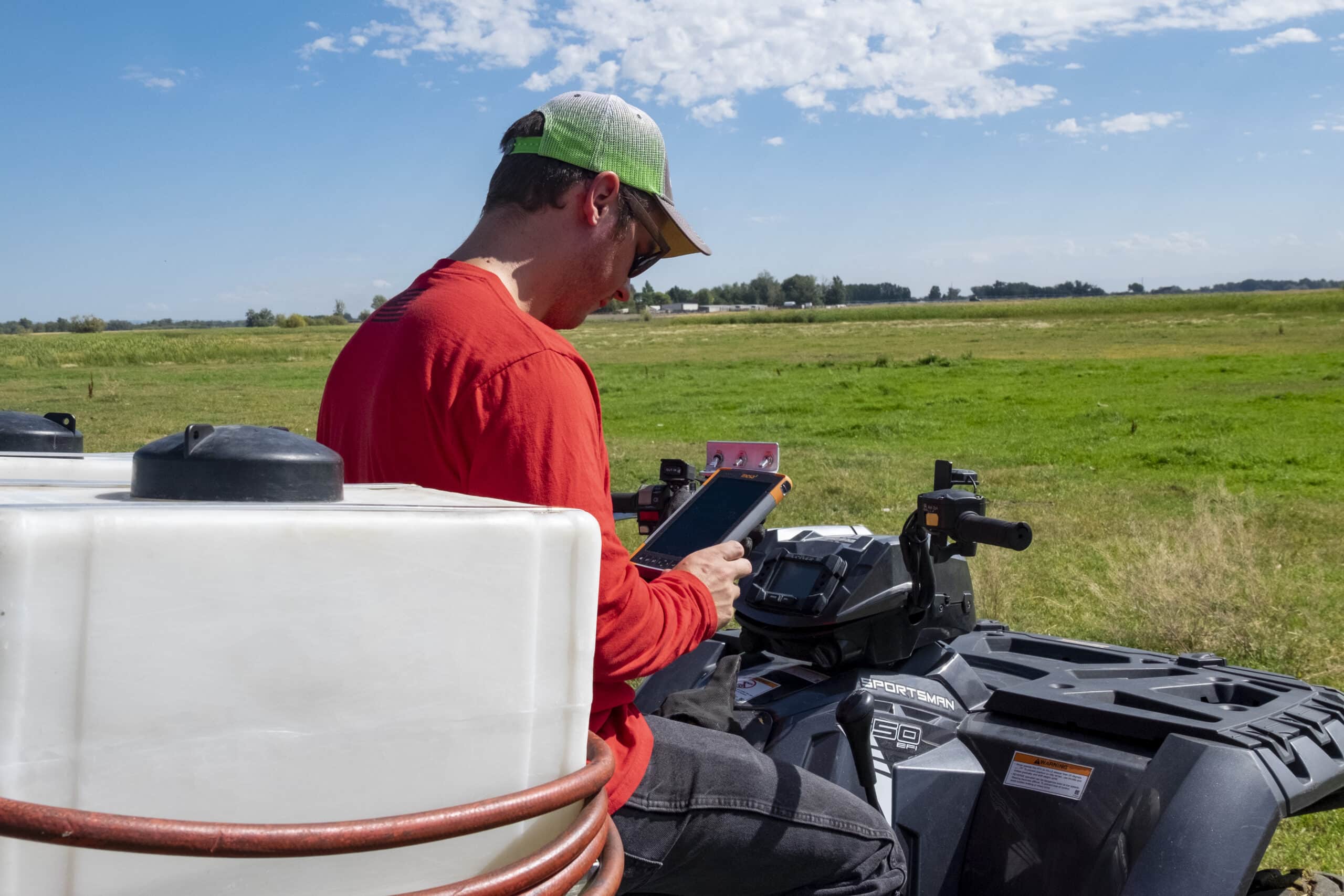
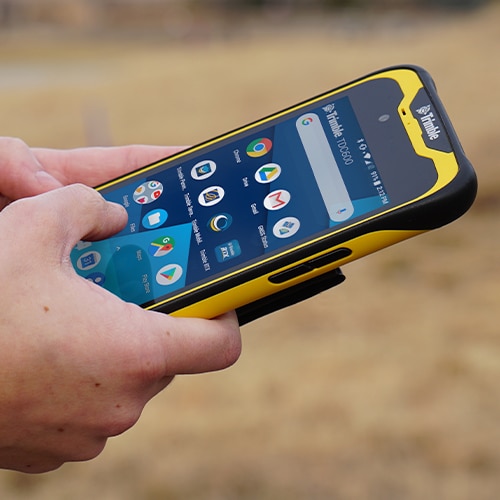
MOBILE DEVICES FOR RELIABLE DATA COLLECTION


FieldSeeker for Invasive Plant TN 1 300x300 1

NEW! FIELDSEEKER GIS FOR INVASIVE PLANT CONTROL SOFTWARE


IF 1200A 300x300 1

DRONE (UAS)  SALES AND SERVICES


FIELDSEEKER INVASIVE PLANTS

Field and office tools for workflows associated with plant occurrence and assessment, bio-release, treatments and service requests.

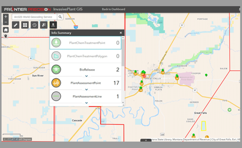
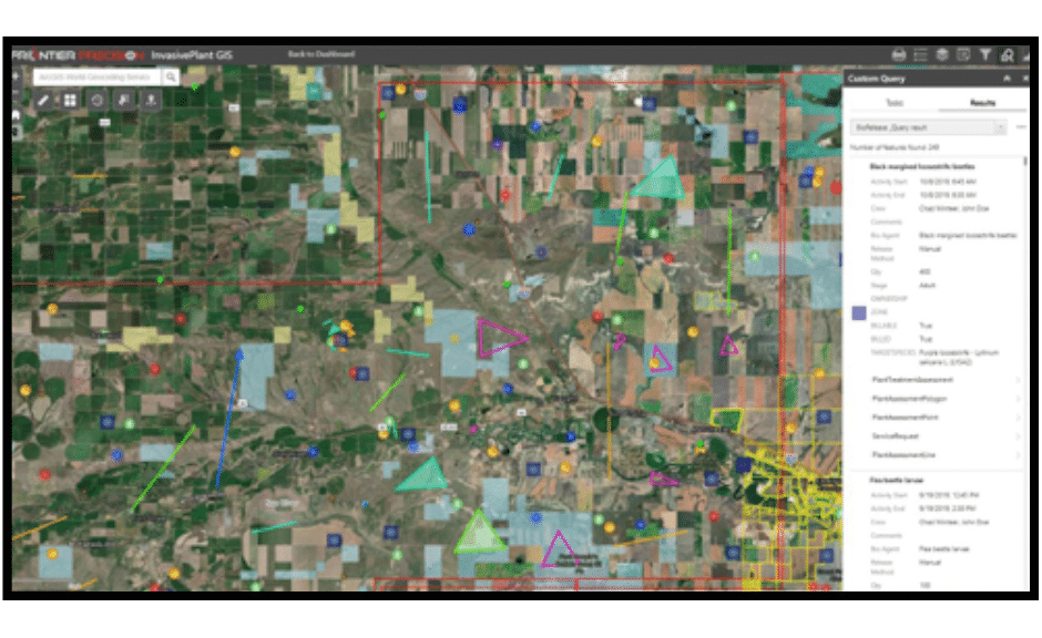
FieldSeeker Invasive Plants is a cloud-based system leveraging the Esri® ArcGIS® Online or ArcGIS Enterprise platform to provide users with simple, intuitive tools for mapping and reporting data related to invasive plant control activities. Field and office users benefit from seeing a common up-to-date picture of their operations. Data is centrally located so it may be shared, analyzed, or updated throughout an organization.

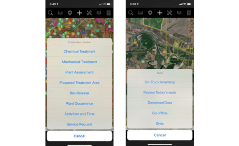
FieldSeeker Invasive Plants, an all-in-one app, includes tools for Plant Occurrences, Plant Assessments, Bio-release, Mechanical and Chemical Treatment, and Service Request workflows. The cross-platform mobile app is easily deployed through the Apple Store, Google Play Store, and Windows Store and supports real-time connectivity with off-line editing capabilities. The FieldSeeker Invasive Plants office suite is a Web app based on the Esri JavaScript API. There is nothing to install, access using any web browser. Since FieldSeeker Invasive Plants is based on the industry standard Esri platform, the organization maintains full control and ownership of maps and data.

FiledSeeker Mobile App Tools 1

FIELDSEEKER MOBILE APP TOOLS

    • Plant Occurrence and Plant Assessment Tracking
    • Bio-release Tracking
    • Mechanical Treatment Tracking
    • Chemical Treatment Tracking
    • Field Scouting
    • Log Time and Materials for Invoicing
    • Proposed Treatment and Restricted Area Management
    • Chemical Product Calculator
    • Manage Service Requests from Public
FiledSeeker Office App Tools

FIELDSEEKER OFFICE APP TOOLS

  • Dashboard Landing Page with Full GIS Mapping Capabilities with User Roles
  • System and Picklists Configuration
  • Management of Incoming Invasive Plant Data, Restricted Areas, and Proposed Treatment Areas
  • Aerial, Truck, Drone Data Import
  • Reporting and Data Search/Filter/Query and Review Options

WHY THE ESRI PLATFORM?

The Esri ArcGIS Online platform offers cost savings over legacy server systems and allows multiple users to use the system anywhere, anytime.


H esriPartnerNet gold sRGB flatEsri keeps up with advances in the Geospatial Cloud technology while Frontier takes care of the development of the invasive plant control workflows. Together we deliver a powerful solution so organizations are free to focus on important control activities.
Why the Esri Platform Plants
VALUE OF THE ESRI PLATFORM INCLUDES:
  • ArcGIS is a scalable system to expand as needs grow and change.
  • ArcGIS Online continually earns security and privacy certifications.
  • ArcGIS lends configuration and data editing flexibility of the FieldSeeker apps.
  • ArcGIS Online provides additional data visualization and data sharing options with FieldSeeker data.
  • Customer maintains full ownership and control of maps and data.

FRONTIER GIS PROFESSIONAL SERVICES

Frontier Precision’s GIS services group can offer innovative ideas extending other ArcGIS Online apps alongside the FieldSeeker GIS invasive plant control workflows. We can help organizations achieve goals through focused consulting, configuration, implementation, training and technical support services.


EXAMPLES OF EXTENDING THE ARCGIS ONLINE PLATFORM:


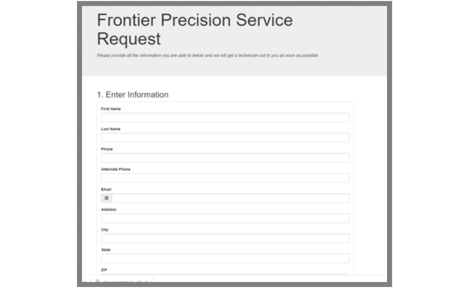
  • Integrating Service Request GeoForms or Survey123 Webforms with your external website, which allow the public to report on invasive plant control activity in their area.

  • Activity Status Web Maps can be utilized in a variety of applications to relay information to the public including: recent aerial or ground spraying activities, open service requests, or plant occurrences.

  • Email Notification and Service Request Routing system can be used to increase staff efficiency allowing more time spent on control measures while keeping residents more informed during the process.

FPI Service Request

MOBILE DEVICES

For Reliable Data Collection


FieldSeeker Invasive Plants is an all-in-one app including tools for Plant Occurrences, Plant Assessments, Bio-release, Mechanical and Chemical Treatment, and Service Request workflows. It is a cross-platform mobile app deployed through the Apple Store, Google Play Store, and Windows Store.

In general, any professional, late model field device, phone, or tablet that has reliable GPS and meets minimum specifications can be used. Our approach is to list devices which have been tested and are known to support the FieldSeeker Invasive Plants software. For a full list of devices, contact: Invasive Plant Support.

JUNIPER SYSTEMS MESA 3 RUGGED WINDOWS 10 TABLET

Proven Reliabilit

Juniper Mesa 3

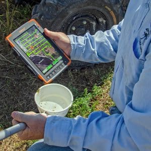
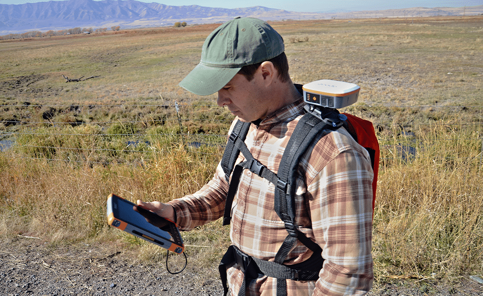
Running a full Windows 10 operating system, Mesa Rugged Tablets carry out the entire data collection process with ease from start to finish. Snap a photo, record field notes, capture a GNSS location, and analyze data – all in the palm of your hand.

  • Field Rugged Windows 10 Tablet
  • Large 7 Inch, Sunlight-readable Display
  • All-day Battery Life
  • Wi-Fi for Wireless Data Synchronization
  • High Quality GNSS Receiver
  • Optional RS-232 9-pin Port Needed for Truck Sprayers with Data Output
  • Optional 4G LTE Multi-carrier Capable
  • 2-year Hardware Warranty with Optional Extended Customer Care Packages
  • Assembled and Repaired in Logan, Utah

DRONE (UAS) PRODUCTS AND SERVICES

For Invasive Plant Control Applications


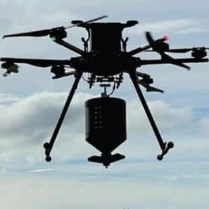
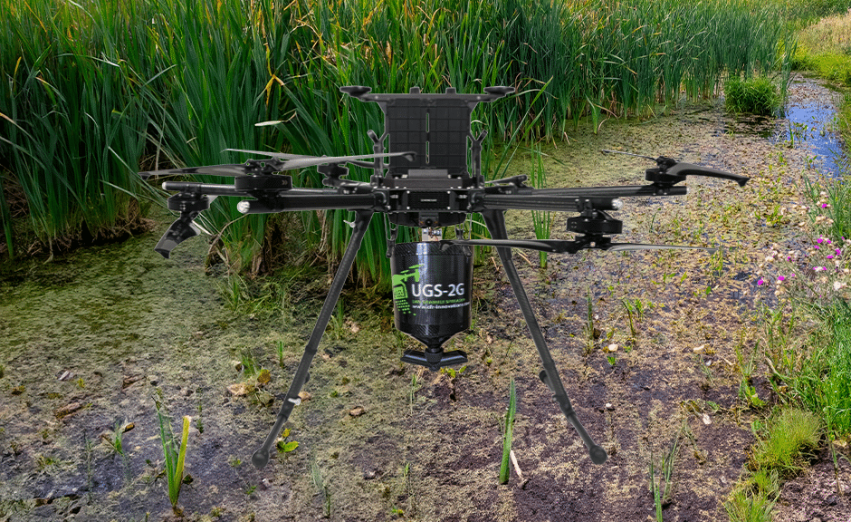
Frontier Precision offers a variety of multirotor and fixed-wing drone solutions for invasive plant control applications. We can help determine the data deliverable product needed and recommend the best aircraft for specific applications. Whether you are interested in operating drones yourself or subcontracting a service provider to collect data for a project, Frontier can help you incorporate this exciting technology into your GIS workflows.

INVASIVE PLANT CONTROL APPLICATIONS:


Drone Inspections
Locate Vegetation to Identify Weed Infestations

Applying Pesticides
Liquid or Granular Treatments

Mapping and LiDAR Applications
Map Large Areas Quicker

BENEFITS:
  • Promotes Safety having less People or Equipment in the Field
  • Lower Cost Alternative to other Ground-based Plane/Helicopter Applications
  • Micro-level Applications in Difficult Terrain or Hard-to-reach Locations
  • Rapid Deployment and Repeatable Approach to Traditional Methods


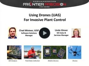
See our recently recorded webinar,
Using Drones (UAS) for Invasive Plant Control

Plant Drones Webinar TN for Website 300x224 1

Frontier has access to many models and accessories to configure a system for your unique needs. However, we have put together some packages to make it easy to get started.

01 6K flight
Autel Drones Logo 1
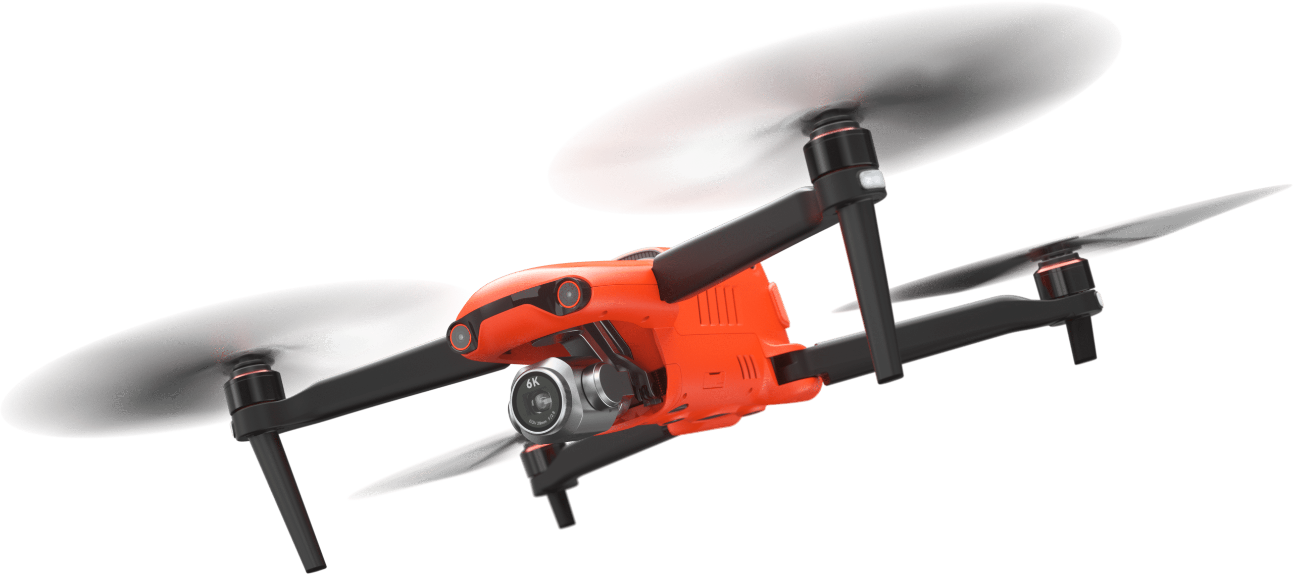
AUTEL EVO II PRO 6K RUGGED BUNDLE
  • High Quality Image and Video
  • Economically Priced
  • Complete Solution for Entry Level Users
  • Application Example—Mosquito Breeding Site Inspections
DJI 350 for LP
  • Fly in a Wide Range of Environments
  • Camera and Payload Options
  • Application Example—Measure Plant Health with NDVI as a way to Help Identify Breeding Area
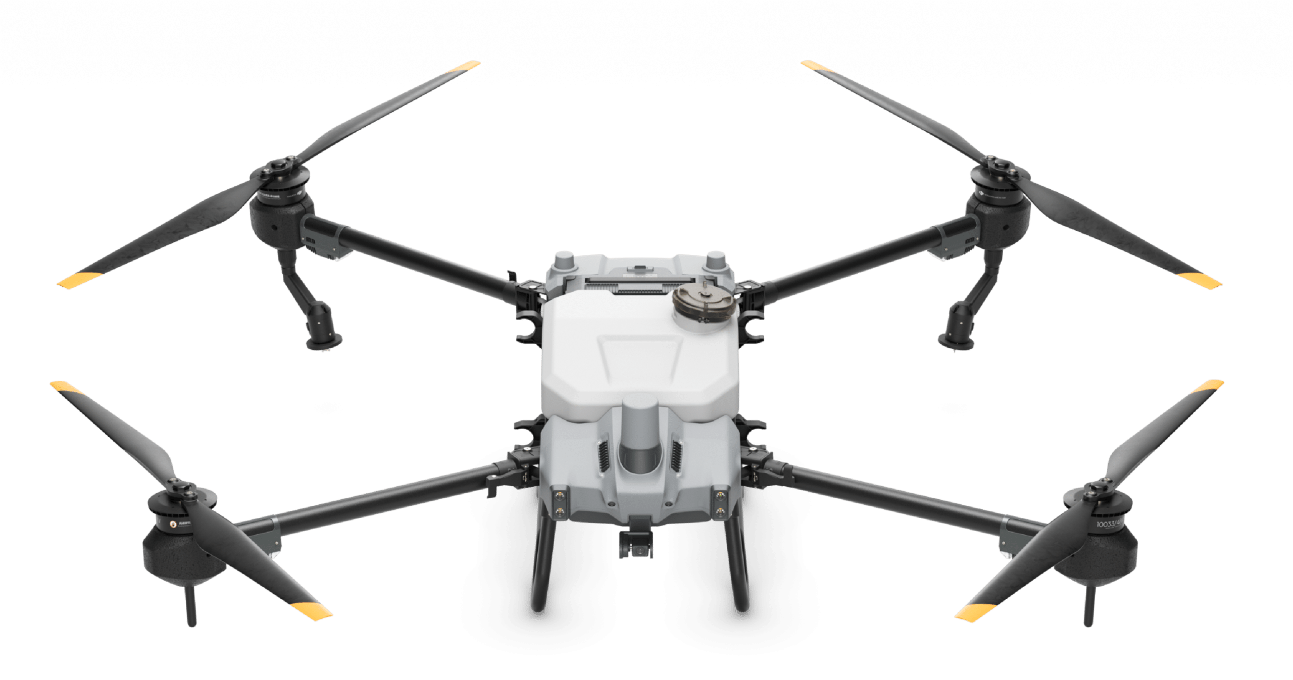
DJI AGRAS T10 T30

DJI Agriculture Logo 1 300x48 2DJI AGRAS T10 / DJI AGRAS T30

DJI T20P

DJI Agriculture Logo 1 300x48 2

DJI AGRAS T20P

IF 1200A

INSPIRED FLIGHT 1200A

inpsired flight horizontal black 01

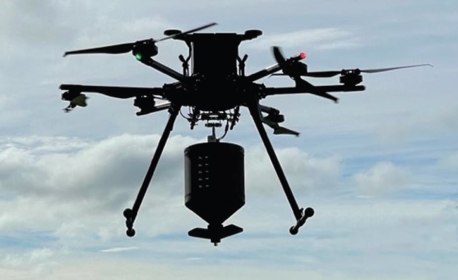
  • Industry-leading Flight Time and Payload Capacity
  • U.S. Manufactured / Blue List
  • Application example – Granular Treatments
Trintiy Pro for LP

Quantum Systems New Logo

MAPPING AND LIDAR OPTIONS

  • A Larger Area can be Mapped in a Shorter Period of Time
  • Three-dimensional Information about the Surface of the Earth can be Recorded
  • Application Example—Up-to-date High Resolution Mapping of Potential Mosquito Breeding Areas after Construction and Development, Storm Events, or Seasonal Changes Before and After Mapping to Demonstrate Effectiveness of Abatement and Mitigation Efforts
IF IF1200A with UGS 2 G 1

OPTIONAL TRAINING

Throughout the year, Frontier schedules Part 107 training classes or offers on-site Part 107 remote pilot certificate training sessions on how to best use new drone systems for invasive plant control applications.


  • One Day—Part 107 Remote Pilot Certificate Training
  • Two Day—Part 107 Remote Pilot Certificate Training and Equipment in Invasive Plant Control Scenario Training
  • Three Day—Part 107 Remote Pilot Certificate Training and Equipment in Invasive Plant Control Scenario Training and Esri Site Scan for ArcGIS, Esri Drone2Map or Pix4D Training

DRONE (UAS) SERVICES PROVIDED BY FRONTIER

Not ready to own a drone system? Our UAS team can provide professional aerial drone services. Hire our certified, insured pilots to fly the job and provide high quality data deliverables. This is also a great way to get started with the latest technology under the guidance of our experienced pilots without the expense of owning the system until the time is right.

  • Multispectral Inspection Services
  • High Resolution Aerial Mapping
  • Image Classified and Feature Extraction
  • LiDAR and Photogrammetry Surveying
IF1200A Full Image