Frontier Precision and Industry News

What Does the ArcGIS Online Entitlement Mean to You?

What Does the ArcGIS Online Entitlement Mean to You?

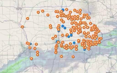
Today, most people want to use a smartphone or tablet to access geographic data and maps in the field frequently, even without internet connectivity.  I’ll go out on a limb and say you fall into this category, as well. If you haven’t started with ArcGIS Online you are...

read more
Implementing GPS Data in Your DataPlus® Mobile Application

Implementing GPS Data in Your DataPlus® Mobile Application

One of the new features in DataPlus Mobile is a GPS App tab for easily adding spatial data to your DataPlus Mobile application. Through the GPS tab you can add latitude, longitude and elevation fields to your DataPlus Mobile application. In addition you can also...

read more
Data Transfer: Help I Can’t See My Buttons!

Data Transfer: Help I Can’t See My Buttons!

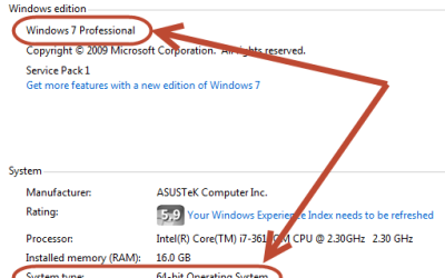
Getting a new device is always an exciting thing. A fresh new box, bubble rap and maybe even packing peanuts. The unit is nice and shinny and ready to collect data. But when you plug it in and go to your Data Transfer tool...All the buttons are hidden hidden on the...

read more
Tech Talk: MSL/Geoid Selection Issue in GPS Pathfinder Office

Tech Talk: MSL/Geoid Selection Issue in GPS Pathfinder Office

Are you running into an issue where the MSL or Geoid Model selection in the Coordinate System Options is unavailable? The option will look grayed out like this: This issue is due to an incorrect file search by the Coordinate System Manager. In this Tech Talk video we...

read more
Pathfinder 5.70 Terminology Change in Differential Correction

Pathfinder 5.70 Terminology Change in Differential Correction

The latest release of Pathfinder Office 5.70 there is a slight change in some terminology within the differential correction wizard. In pre 5.70 your options for reference position are "Use reference position from base files" and "Use reference position from base...

read more

Updates to TerraFlex and Desktop Add in

Release Highlights New language options: The TerraFlex mobile and web apps are now available in French, German and Spanish with further languages to be offered in future releases. The Trimble InSphere™/TerraFlex website is also available in these languages,...

read more

New Tech Talk: R10 Firmware Upload via Wifi

In this session we look at the process of using the Trimble R10's Wifi to upload the latest version of firmware to the device. This is a good alternative for users who do not have the proper cable or have trouble getting USB drivers installed. This is also the...

read more

Tech Talk: Importing Data to TerraFlex

In this Frontier Precision Tech Talk learn how to import data files to TerraFlex using the Trimble Insphere Data Uploader. The video includes a demonstration on installing the Trimble Insphere Data Uploader, uploading data to TerraFlex, and enabling the data to be...

read more
FieldSeeker GIS on your Apple iOS Device? Absolutely!

FieldSeeker GIS on your Apple iOS Device? Absolutely!

For many years, Frontier Precision has developed and distributed professional software to meet the needs of the Mosquito and Vector Control industry.  FieldSeeker GIS is our commercial enterprise software that provides network-based technology for office and field...

read more

Tech Talk: Verizon MiFi Config. for Trimble Controllers

In this session we take a look at some of the recommended settings and configurations for Mifi devices to be sure they connect properly to Trimble field controllers. These settings may vary based on the device, but this Tech Talk gives users a good understanding of...

read more

Two TBC Tech Talks Posted

We are excited to announce the addition of two new Tech Talks to our Trimble Business Center library.    Move Objects & Create Polylines   Adjusting a Closed-loop Traverse

read more

Three Trimble Business Center Tech Talks Added

Three new Tech Talks have been added to our TBC library. These talks will assist users in data preparation and working with drawing files.    Copy & Offset Tools in TBC 3.50   Creating Points from Spot Elevations in TBC 3.50   Dynamic Labeling Tools...

read more