Nov 30, 2020 | Mapping GNSS Recievers, Mapping Trimble Field Software, Mobile Devices, Uncategorized
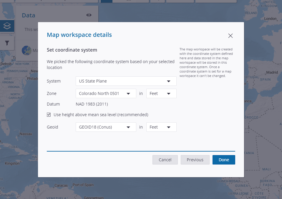
A recent update from Trimble, announce here, has enabled users to configure map workspaces on Connect to local coordinate systems that can be used for data collection with TerraFlex. Up to this point, the map workspaces and TerraFlex have only supported Lat/Long WGS...
Nov 17, 2020 | ESRI, News & Industry Updates
On the eve of #GISDay 2020, I want to ask the simple question, “What is your GIS Story?” Now, I’m not asking you to boast and bluster us with years of accrued trivial knowledge of spatial awareness. I’m genuinely curious, do you remember the fork in the road that...
Nov 17, 2020 | Build Construction, Survey Office Software
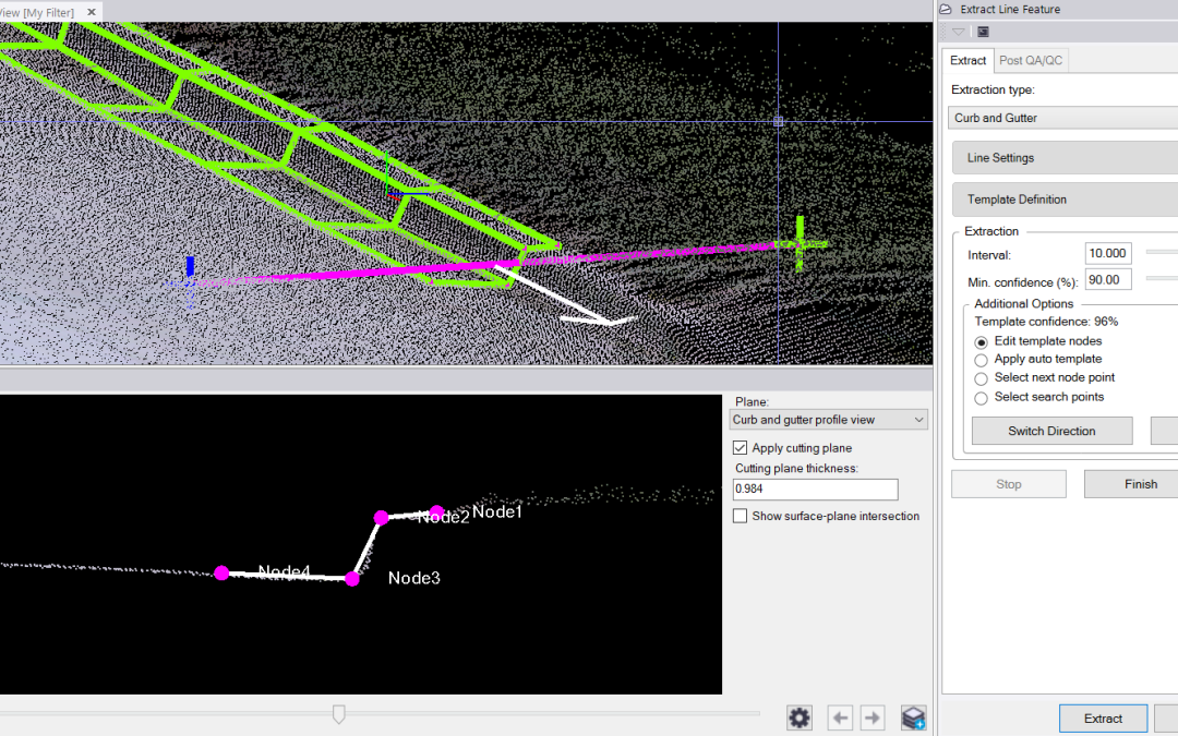
The Trimble Business Center 5.40 release is packed with many exciting new features. Included in those features are Measure Codes now being added into TBC, powerline linear feature extraction and curb & gutter linear feature extraction. Below are Tech Talks that we...
Oct 26, 2020 | 3D Laser Scanners, Land Mobile Hardware, Survey Field Controllers, Survey GNSS Recievers, Total Stations
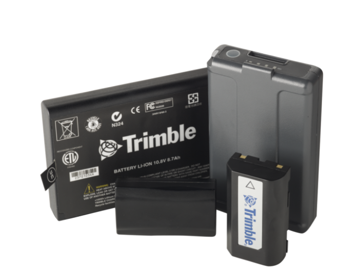
This recent support note from Trimble is an important one highlighting the importance of taking care of your lithium-ion batteries, especially for folks in colder climates now that we are heading into the winter season. Proper care for your batteries will extend their...

Oct 21, 2020 | Mapping Trimble Field Software, Mapping Trimble Office Software
Frontier Precision’s focus is to provide full solutions for our customers by keeping workflows streamlined and productive. There are some instances where the desired workflow is hindered by software limitations. What can Frontier do about that do you ask? In some...
Oct 12, 2020 | Environmental Monitoring, Fisheries Management and Studies, Forestry & Natural Resources, Surface Water Monitoring, Water Flow & Discharge Measurement, Water Level Monitoring, Water Resources
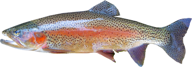
The delivery of adequate water to a fish hatchery can often mean the difference between healthy fish and loss of life. Recently, the Utah Division of Wildlife Resources reached out to Frontier Precision looking for a system to measure water coming into one of their...
Aug 27, 2020 | Mapping GNSS Recievers, Mapping Trimble Field Software, Mapping/GIS, Uncategorized
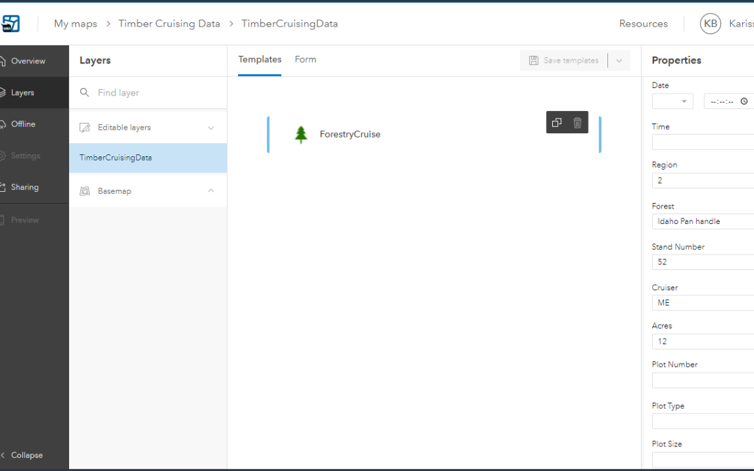
A new beta update for ArcGIS Field Maps was released last week. This update has brought us our first glance at smart forms, support for high accuracy receivers, and location tracking. Smart Forms Organizing your form is now as simple as dragging and dropping...

Aug 14, 2020 | Events, News & Industry Updates
Inc. Magazine Unveils Its Annual List ofAmerica’s Fastest-Growing Private Companies—the Inc.5000Frontier Precision Ranks No. 3,789 on the 2020 Inc. 5000With Three-Year Revenue Growth of 95.09% PercentNEW YORK, August 12, 2020 – Inc. magazine today revealed that...
Jul 28, 2020 | ESRI, Mapping GNSS Recievers
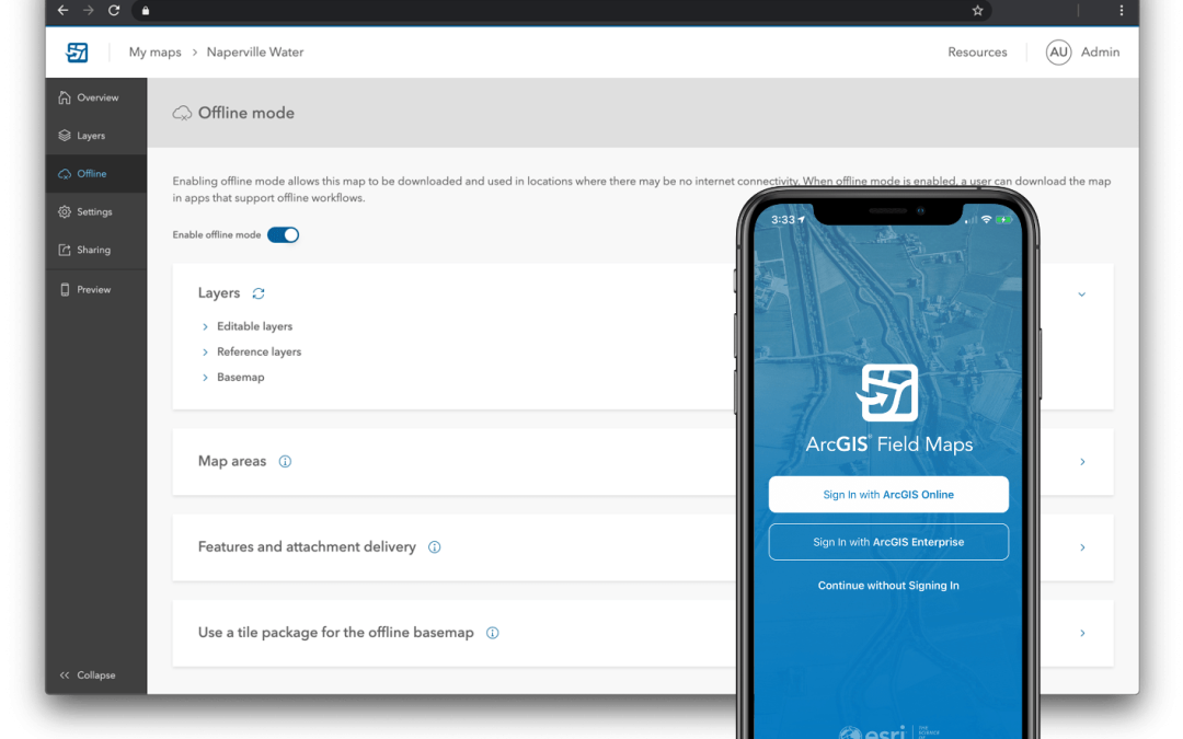
For the first time in history, Esri’s user conference was held virtually this month with outstanding attendance. They presented many new software enhancements and announced the new ArcGIS Field Maps app. This new app announcement has been buzzing in the GIS industry...

Jul 16, 2020 | Survey Field Controllers
On some Windows 10 the cellular button may not be viewable and a cellular option itself may not be available. This is sometimes happens after a Windows Update. The below link will take you to a procedure sheet to help you remedy this issue. PROCEDURE SHEET:...








