Jul 28, 2026 | News & Industry Updates, Imaging, Mapping/GIS, Survey, Unmanned Aircraft Systems - UAS, Water Resources
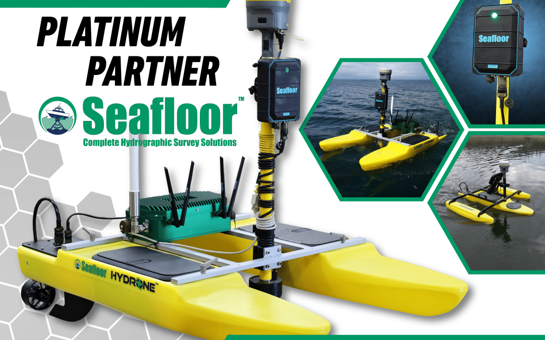
Frontier Precision and Seafloor Systems Partner to Deliver Advanced Hydrographic Survey SolutionsFrontier Precision is excited to announce its partnership with Seafloor Systems, bringing industry-leading autonomous hydrographic survey solutions to customers across the...

Nov 27, 2023 | Surface Water Monitoring, Water Flow & Discharge Measurement, Water Level Monitoring, Water Resources
Turn your ADCP into an Unmanned Surface VesselAcoustic Doppler Current Profilers (ADCP’s) have become the standard for high-accuracy, inland water discharge measurement. ADCP’s allow the operator to make more accurate measurements, in less time, and more safely than...

Oct 2, 2023 | Events, Water Resources
Frontier Precision Unmanned is excited to exhibit at the 2023 Pacific Marine Expo! Pacific Marine Expo is the largest and longest running commercial fishing and commercial marine tradeshow on the West Coast, held annually in Seattle, WA, serving all aspects of the...

Oct 2, 2023 | Events, Water Resources
Frontier Precision Unmanned is excited to exhibit at the 2023 The International WorkBoat Show-held in New Orleans! The International WorkBoat Show is a trade-only conference and expo for commercial vessel owners, operators and builders as well as the vendors and...

Jun 22, 2023 | Dashboard, ESRI, Esri, Events, Field Maps, Forestry & Natural Resources, GIS, Handhelds with GNSS, Local Government, Mapping GNSS Recievers, Mapping Trimble Field Software, Mapping/GIS, MGIS Field Software, MGIS Office Software, Mobile, Mobile Devices, Mosquito & Vector Control, Solid Waste, UAS Processing Software, UAV Systems, Unmanned Aircraft Systems - UAS, Utilities, Water Resources, Weed Control
For 35 years, Frontier Precision has been leading the way with specialized field mobility workflows to bring your GIS to the field and back. Our unique capabilities revolve around mobile data collection systems, high-accuracy GNSS, laser rangefinders, water monitoring...
Jun 22, 2023 | Dashboard, ESRI, Esri, Field Maps, GIS, Handhelds with GNSS, Local Government, Mapping/GIS, Mobile, Mobile Devices, Utilities, Water Resources
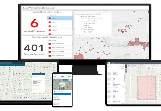
The Environmental Protection Agency (EPA) has released a revision to the Lead and Copper Rule which prioritizes the identification and removal of Lead Service Lines (LSLs) for all utilities. As of October 16, 2024, the Lead and Copper Rule Revision (LCRR) states that...