Jul 18, 2019 | Esri, GIS, Mapping/GIS, Mosquito & Vector Control, Service Requests
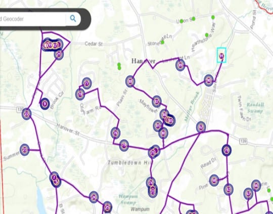
Last year, Frontier Precision had the opportunity to work with Central Massachusetts Mosquito Control Project (CMMCP) to implement an email notification system for people who enter a service request for truck spraying. This email notification project was added on to...
Jun 7, 2019 | 3D Laser Scanners, Best Practices, ESRI, Mapping GNSS Recievers, Mapping Trimble Field Software, Mapping Trimble Office Software, Mobile Devices, Mosquito & Vector Control, News & Industry Updates, Rangefinders, UAV Systems, Water Resources
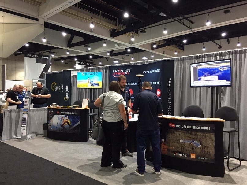
In just a few weeks, 19,000 professionals across industries will attend the Esri User Conference in San Diego for learning and networking opportunities. Please make time in your busy schedule to stop by Booth 2027 to engage the Frontier Precision Mapping & GIS...
Apr 3, 2019 | GIS, Larviciding, Local Government, Mapping/GIS, Mosquito & Vector Control, ULV/Adulticiding
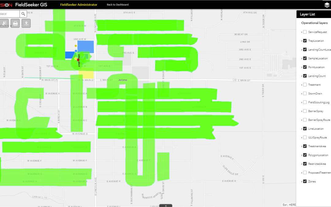
We’re excited to release a new version of Windows ULV software that contains some key features that many of our customers have been asking about. Even though Windows ULV doesn’t require any Esri licensing, a lot of our users have FieldSeeker Core software, which uses...
Jul 23, 2018 | ESRI, Land Mobile Hardware, Land Mobile Software, Mapping GNSS Recievers, Mapping Trimble Field Software, Mapping Trimble Office Software, MGIS Legacy, Mobile Devices, Mosquito & Vector Control, Rangefinders
Centennial, Colorado, 23, July 2018 – CompassTools, Inc. located in Centennial, Colorado is pleased to announce that it has sold the assets for their Trimble Geospatial Dealership to Frontier Precision, one of the largest resellers of geospatial technology in...
Jul 20, 2018 | GIS, Larviciding, Local Government, Mapping/GIS, Mobile, Mosquito & Vector Control, Service Requests, Surveillance & Disease Distribution, ULV/Adulticiding
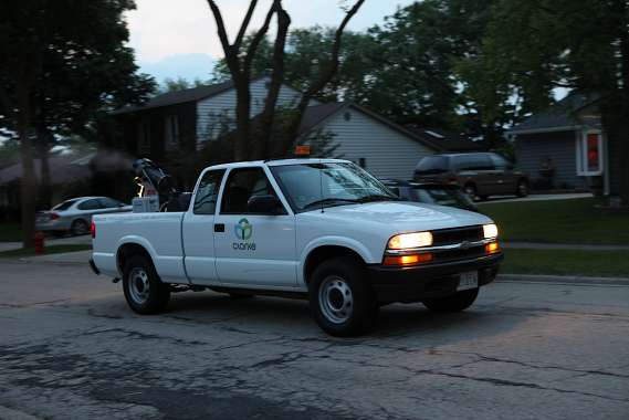
NEW! Line-based Spray Routes In version 1.5 we introduce simple support for line-based spray routes. The mobile software will display the given route while the field operator does a spray session, providing visual guidance on where to start, where to turn the sprayer...
Jun 18, 2018 | Forestry & Natural Resources, GIS, Handhelds with GNSS, Larviciding, Local Government, Mapping/GIS, Mosquito & Vector Control, Service Requests, Surveillance & Disease Distribution, ULV/Adulticiding, Weed Control
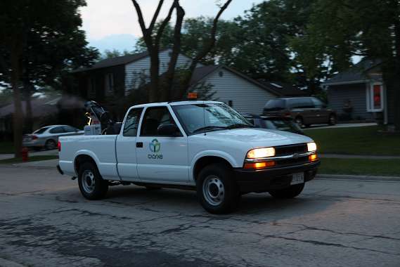
NEW! Sync Data Through Google Drive or Dropbox Windows ULV makes data management even easier with the option to sync data through Google Drive or Dropbox.After field data is collected, data can still be synced wirelessly to a network location (if supported by...








