For 35 years, Frontier Precision has been leading the way with specialized field mobility workflows to bring your GIS to the field and back. Our unique capabilities revolve around mobile data collection systems, high-accuracy GNSS, laser rangefinders, water monitoring solutions, UAS and underwater unmanned solutions, 3D scanning and mobile imaging services.
Come by Booth 629 to see the latest geospatial technologies and how to leverage the Esri ArcGIS Online system so all your organization’s data comes together to be easily shared, analyzed, and updated throughout your organization.
Exhibit Highlights
Frontier Unmanned
In the Frontier Unmanned side of our Booth #629, we will be highlighting DJI Enterprise drones as well as the Deep Trekker underwater Remotely Operated Vehicles (ROVs) and pipe crawlers.
Frontier has recently received authorization from Esri to sell and support Site Scan for ArcGIS, ArcGIS Drone2Map, and ArcGIS Image for ArcGIS Online. Our experienced staff can visit with you about needs and make a recommendation of which solution is right for you.
DJI Enterprise Drones
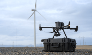 Professional drone operators can benefit from using DJI Enterprise Drones, which offer a high-level sophistication in durability ensuring performance during inclement weather and disruptive environments. With the protection of DJI Maintenance Program, professional operators will have confidence their enterprise systems are ready to fly complex photogrammetry and mapping work at a moment’s notice with accuracy and precision. Software, payloads, and accessories complement projects that require a high level of customization and workflow integration.
Come check out:
Mavic 3E – The Mavic 3 Enterprise Series redefines industry standards for small commercial drones. With a mechanical shutter, a 56× zoom camera, and an RTK module for centimeter-level precision, the Mavic 3E brings mapping and mission efficiency to new heights. A thermal version is available for firefighting, search and rescue, inspection, and night operations.
Matrice M30 Series – The Matrice 30 series integrates multiple high-performance sensors into a lightweight and portable body. Equipped with a remote controller designed for enterprise users and the newly upgraded Pilot 2 flight app, to improve the efficiency of drone operations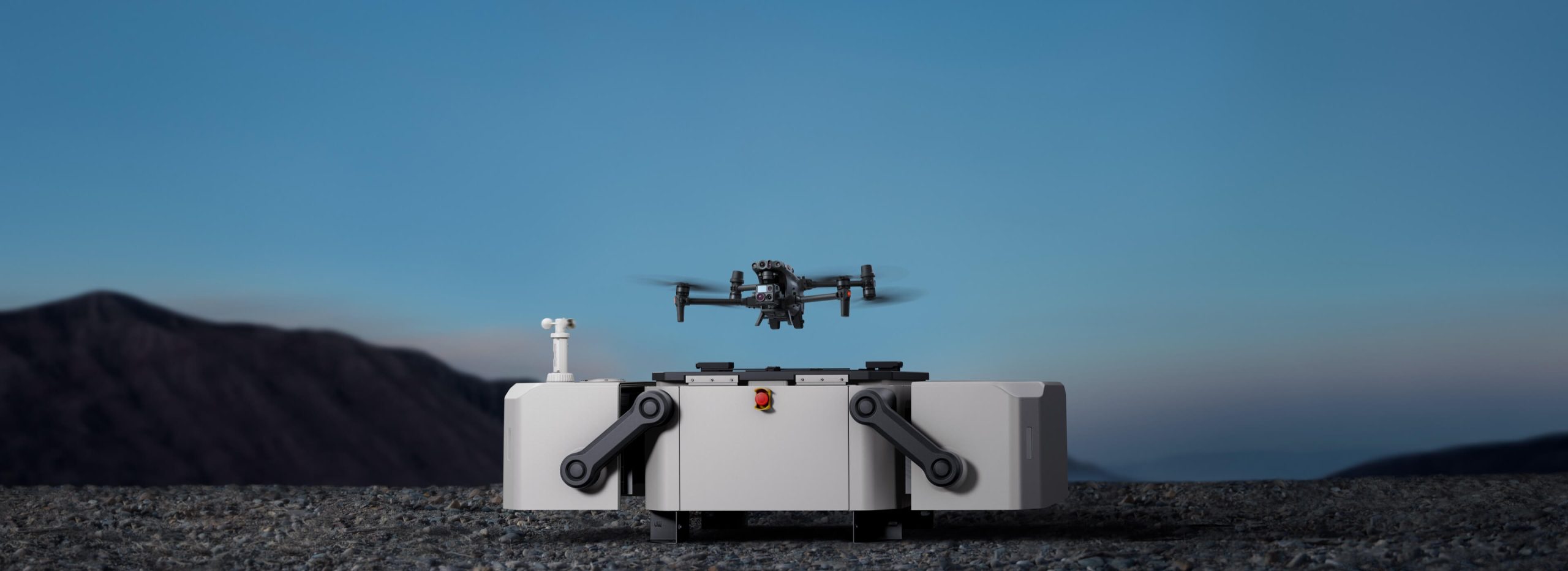
DJI Dock – Remote Drone Operation Solution – DJI Docks are rugged, reliable, and are built to operate 24/7, day or night, rain or shine. Each DJI Dock houses a Matrice 30 where it lands, recharges, takes off, and executes missions programmed in DJI FlightHub 2.
Matrice M350 – New on the market and an upgraded flagship drone platform, the Matrice 350 RTK sets a new benchmark for the industry. This next-generation drone platform features an all-new video transmission system and control experience, a more efficient battery system, and more comprehensive safety features, as well as robust payload and expansion capabilities. It is fully powered to inject innovative strength into any aerial operation.
Deep Trekker Underwater Drones
 Frontier Precision is an authorized reseller of the Deep Trekker of submersible robots. The robot line-up includes underwater Remotely Operated Vehicles (ROVs), CCTV Pipe Crawlers, utility crawlers, and submersible cameras.
See at Booth # 629:
Underwater Remotely Operated Vehicles (ROVs) – ROVs vehicles allow operators to conduct underwater inspections. Deep Trekker ROVs are portable, affordable and easy to use, providing solutions to various underwater projects. With expert engineering and the help of gravity, the patented pitch system of the ROV allows you to rotate your imaging sonar, grabber and camera head, allowing the operator to scan areas or optimize the positioning of their addons without engaging thrusters. 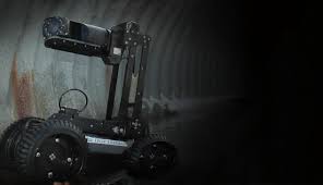
CCTV Pipe Crawlers – The industry’s first truly portable, battery-operated CCTV pipe crawler systems. Deploy from anywhere within minutes. Inspect pipes ranging from 6” and up in diameter and in various pipe material; PVC, clay, brick, concrete, HDPE, corrugated steel and cast iron. Deep Trekker crawlers are depth rated to 50 m (164 ft) underwater. Inspect immediately without having to wait for jet or pump trucks.
Frontier Geospatial
For 35 years, our team has unique experience with integrating high-accuracy GNSS for real-time data collection. We offer training and technical support to help you achieve the highest quality data for your project needs using:
- ArcGIS Field Maps
- ArcGIS Survey123
- ArcGIS QuickCapture
- Support for also integrating Trimble, Juniper Systems, Laser Technology, Spectra Precision and more.
- Cable & pipe locators and ground penetrating radar (GPR) for utilities
On the Geospatial side of the booth our experienced staff can assist with:
Field Mobility & GIS Services
Frontier Precision provides implementation services, training, and technical support to ensure you start down the right path with Esri ArcGIS or to help keep the momentum going with your established GIS initiatives.
Ask about how we can help you implement:
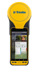 One-stop shopping with Frontier! We now provide Esri ArcGIS Online and Trimble and Juniper Systems high-accuracy GNSS receiver bundles. We can take your entire order, train you while we implement your system, give ongoing support, renew your licensing, and keep your GIS advancing for years to come!
Our tailored Jump Starts are the quickest direction to turn when you are looking to create your very first maps and mobile apps. Budget-friendly Jump Starts are available for ArcGIS Online, Field Maps, Survey123, Story Maps, ArcGIS Dashboards, Trimble TerraFlex, or Juniper Systems Uinta software.
Something New! Frontier is now a Radiodetection reseller for cable and pipe locator systems for identifying underground infrastructure helping to avoid damaging buried utilities.
CONTACT US
If you cannot attend the Esri UC or are not a current Esri user, please contact us at any time to schedule a one-on-one meeting so we may help you determine the next step in using GIS, unmanned, and geospatial technologies to accomplish more for your organization.
For more information, contact Jacob Wittenberg or Linda Glover at Frontier Precision. See our complete lineup of products and services at www.frontierprecision.com.
