May 18, 2015 | Mapping Trimble Field Software, Mapping Trimble Office Software
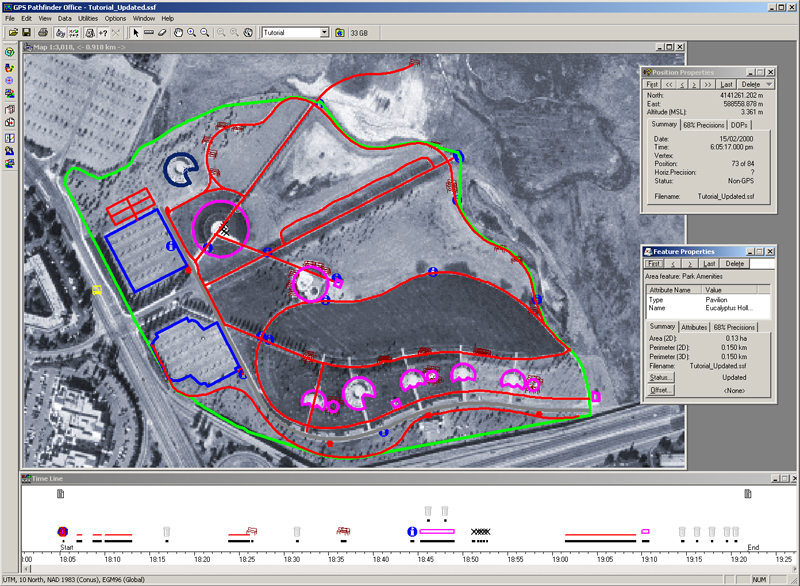
During the course of providing training for our customers who purchase a GNSS mapping system, we often get asked, “How do I get my AutoCAD drawing into TerraSync?” Depending on how AutoCAD is used, the drawing could have a known spatial reference or it could have an...
May 8, 2015 | Water Resources
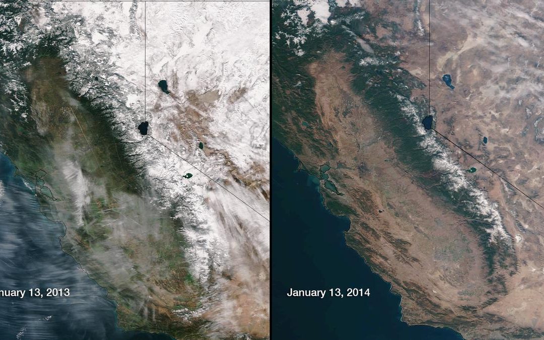
To The Field and Back has been documenting California’s drought for some time now. We’ve talked about falling aquifer levels and also the complete lack of winter snow and its effects on water users for the rest of the year. On March 5, California made it official for...
May 5, 2015 | Mapping Trimble Field Software, Mapping Trimble Office Software
Today’s field users and GIS folks now have more choices than ever regarding tools for field data collection. It makes sense that collecting data in the field is relatively easy given all these choices and the ability to use common devices like phones and tablets. Add...
May 1, 2015 | Survey Office Software
In this session we show you how to utilize the Project Cleanup Tool in Trimble Business Center. The Project Cleanup Tool can remove unneeded objects, convert CAD lines into linestrings and join lines. This is an ideal tool to take DXF files and clean them up in TBC...
Apr 30, 2015 | Survey Office Software
In this Tech Talk we show you some of the ways to help manage your layers in Trimble Business Center. Layer management is a key component when working with large data sets, or working with DXF/DWG files, etc. Ensuring you have proper layer management will reduce...
Apr 28, 2015 | Rangefinders
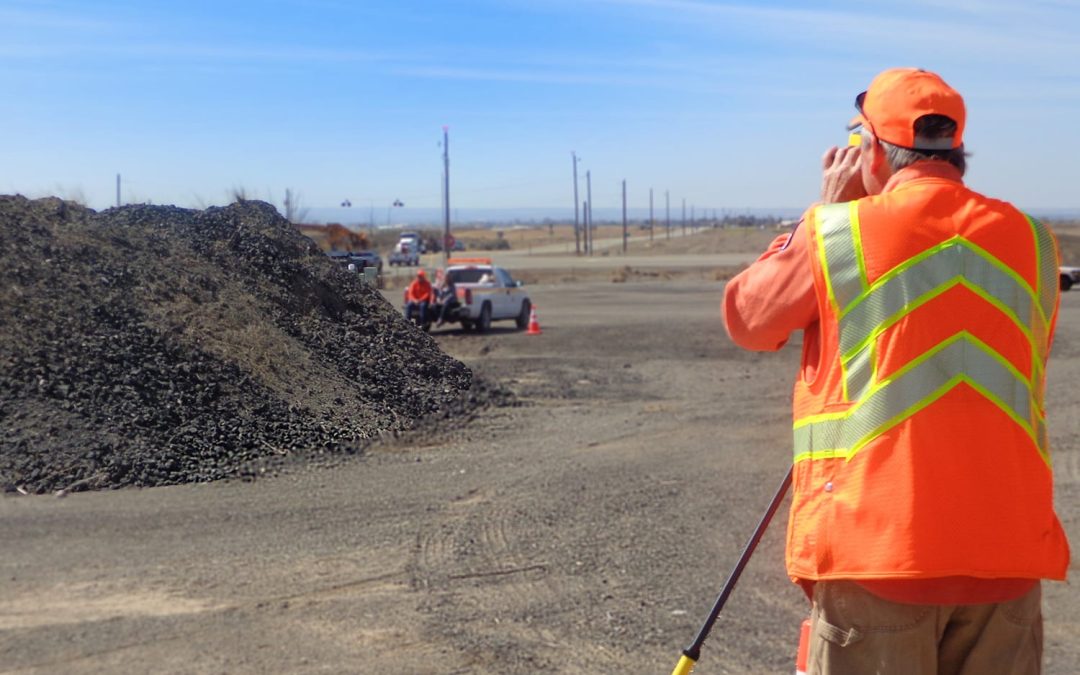
There are several ways to measure the volume of a stockpile and each method has trade offs. Some methods are costly, some are dangerous, and others just plain aren’t accurate (think one eye open with thumb out front). Hiring an airplane to fly over piles can break...
Apr 13, 2015 | Unmanned Aircraft Systems - UAS
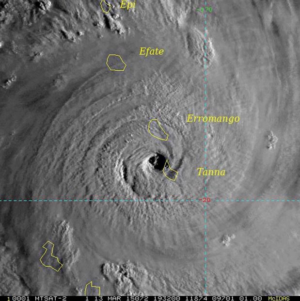
It has now been almost a month since Category 5 Cyclone Pam struck Vanuatu. With sustained winds greater than 160 MPH, much of the Island nation of Vanuatu has been devastated by wind damage to personal property and to civil infrastructure. It is difficult for the...
Apr 6, 2015 | Survey Field Controllers, Survey Field Software, Survey GNSS Recievers
Trimble VRS networks provide many benefits to users who work in areas where the networks are available. However, a lot of users do not understand how the network works. Also, when additional devices used to connect to the internet for corrections get involved,...
Apr 5, 2015 | Water Resources
California State officials are looking at serious water restrictions this spring and summer as the winter snowpack feel far below expectations. What’s next for an already-dry West? In December, a large storm ravaged the California coast, created power outages to...
Apr 3, 2015 | Land Mobile Hardware
In this Tech Talk we demonstrate how to configure VRS real-time corrections in the GNSS Status Utility app for use with the Trimble R1 GNSS Receiver. With VRS corrections you will receive real-time, high accuracy GNSS positioning to use with any compatible data...