FRONTIER PRECISION UNMANNED
LiDAR / SENSORS & SOFTWARE DOWNLOADS

For more information from our UAS Partners and to jump to a specific section, click the logo of the product line you are interested in.

From there you can access content by clicking the brochure/flyer image to open a PDF copy to download.

*

FPI Larger UAS Logos for Flyers Page 2
Larger UAS Logos for Flyers Page 17
Larger UAS Logos for Flyers Page 18 1
Larger UAS Logos for Flyers Page 06 1
Larger UAS Logos for Flyers Page 20 1
Larger UAS Logos for Flyers Page 16 1
Larger UAS Logos for Flyers Page 21 1
Larger UAS Logos for Flyers Page 22 1
Larger UAS Logos for Flyers Page 23 1

[For UAS / Drones Downloads, click HERE.]

FRONTIER PRECISION UNMANNED

FPI Unmanned Brochure Page 1 1

Frontier Precision Unmanned

BACK TO TOP

LiDAR

YELLOWSCAN

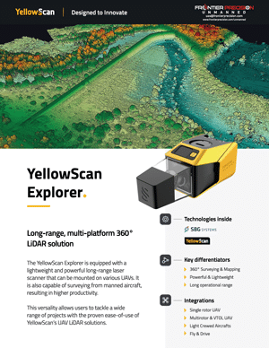
Frontier Precision YellowScan Explorer Flyer Page 1 1

YellowScan Explorer

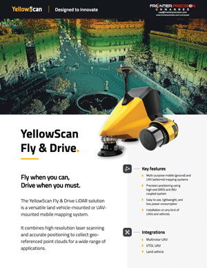
Frontier Precision YellowScan Fly Drive Flyer Page 1 1

YellowScan Fly & Drive

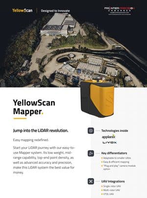
Frontier Precision YellowScan Mapper Flyer Page 1 2

YellowScan Mapper

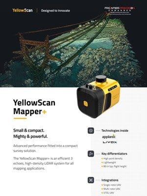
Frontier Precision YellowScan Mapper Flyer Page 1 1 1

YellowScan Mapper+

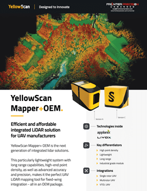
Frontier Precision YellowScan Mapper OEM Flyer Page 1 1

YellowScan Mapper+ OEM

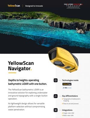
Frontier Precision YellowScan Navigator Flyer Page 1 1

YellowScan Navigator

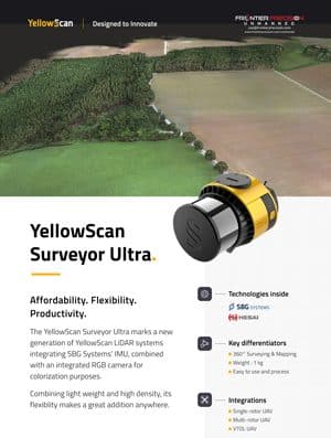
Frontier Precision YellowScan Surveyor Ultra Flyer Page 1 1

YellowScan Surveyor Ultra

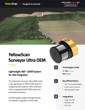
Frontier Precision YellowScan Surveyor Ultra OEM Flyer Page 1 1

YellowScan Surveyor Ultra OEM

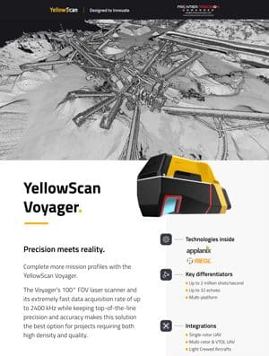
Frontier Precision YellowScan Voyager Flyer Page 1 1

YellowScan Voyager

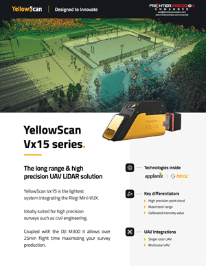
Frontier Precision YellowScan Vx15 Series Flyer Page 1 1

YellowScan Vx15 Series

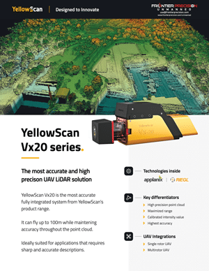
Frontier Precision YellowScan Vx20 Series Flyer Page 1 1

YellowScan Vx20 Series

BACK TO TOP

EMESENT

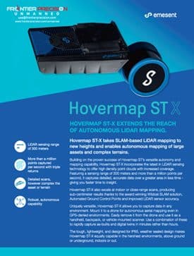
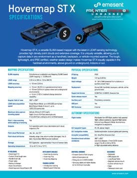
Frontier Precision Emesent Hovermap ST X Flyer Page 1 1

Emesent Hovermap ST-X

Frontier Precision Emesent Hovermap ST Flyer Page 1 1

Emesent Hovermap ST

BACK TO TOP

SENSORS & SOFTWARE

DJI ENTERPRISE

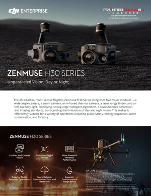
Frontier Precision DJI Zenmuse H30 Series Flyer 1

DJI Zenmuse H30 Series

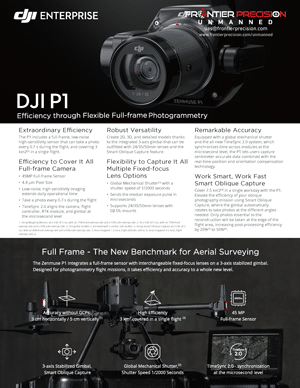
Frontier Precision DJI P1 Flyer 1

DJI P1

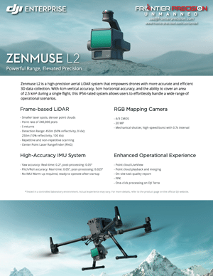
Frontier Precision DJI Zenmuse L2 Flyer 1

DJI Zenmuse L2

BACK TO TOP

SENTERA

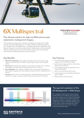
Frontier Precision Sentera 6X Multispectral Sensor Flyer Page 1

Sentera 6X Multispectral Sensor

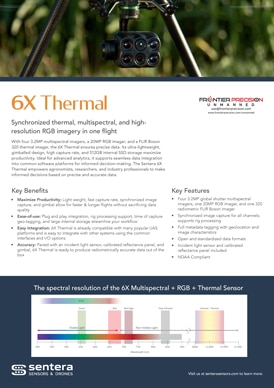
Frontier Precision Sentera 6X Thermal Sensor Flyer Page 1

Sentera 6X Thermal Sensor

BACK TO TOP

VISION AERIAL

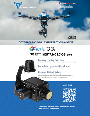
Frontier Precision Vision Aerial OGI Neutrino Flyer Page 1 1

Vision Aerial OGI Neutrino

BACK TO TOP

WIRIS WORKSWELL

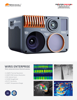
Frontier Precision WIRIS Workswell Flyer Page 1 1

WIRIS Workswell

BACK TO TOP

VIDOC

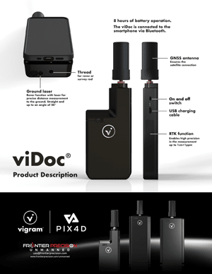
Frontier Precision viDoc Flyer Page 1 1

viDoc

BACK TO TOP

PIX4D

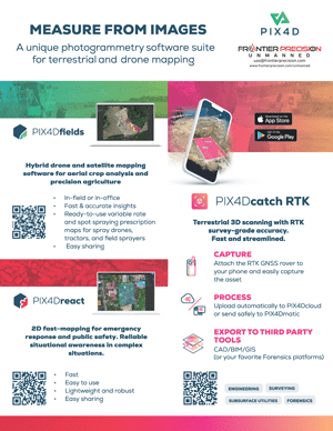
Frontier Precision Pix4D Flyer Page 1 1

Pix4D

BACK TO TOP

UAS Lower LiDAR Hero 800x800 1 1

UAS TECHNICAL SERVICES

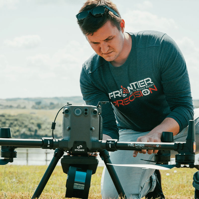
Frontier Precision UAS/Imaging Services can help when you have a need for mobile/static scanning or UAS services, but lack the expertise or equipment to meet the requirements of the job. Now you can “test drive” our latest technology without the expense of owning it until you need it.

Frontier Precision offers data-driven technical services for aerial surveying and photogrammetry applications using unmanned aircraft systems (UAS). We are expanding operations to include additional drones, sensors, and platforms to accommodate your data needs. Whether you are interested in operating drones yourself, or sub-contracting a service provider to collect data for a project, Frontier can help you incorporate this advanced technology into your work flow to collect high-precision aerial data.