Jun 22, 2023 | Dashboard, Esri, ESRI, Events, Field Maps, Forestry & Natural Resources, GIS, Handhelds with GNSS, Local Government, Mapping GNSS Recievers, Mapping Trimble Field Software, Mapping/GIS, MGIS Field Software, MGIS Office Software, Mobile, Mobile Devices, Mosquito & Vector Control, Solid Waste, UAS Processing Software, UAV Systems, Unmanned Aircraft Systems - UAS, Utilities, Water Resources, Weed Control
For 35 years, Frontier Precision has been leading the way with specialized field mobility workflows to bring your GIS to the field and back. Our unique capabilities revolve around mobile data collection systems, high-accuracy GNSS, laser rangefinders, water monitoring...
Oct 3, 2022 | Esri, ESRI, Forestry & Natural Resources, GIS, Local Government, Mapping/GIS, Weed Control, Wetland Delineation
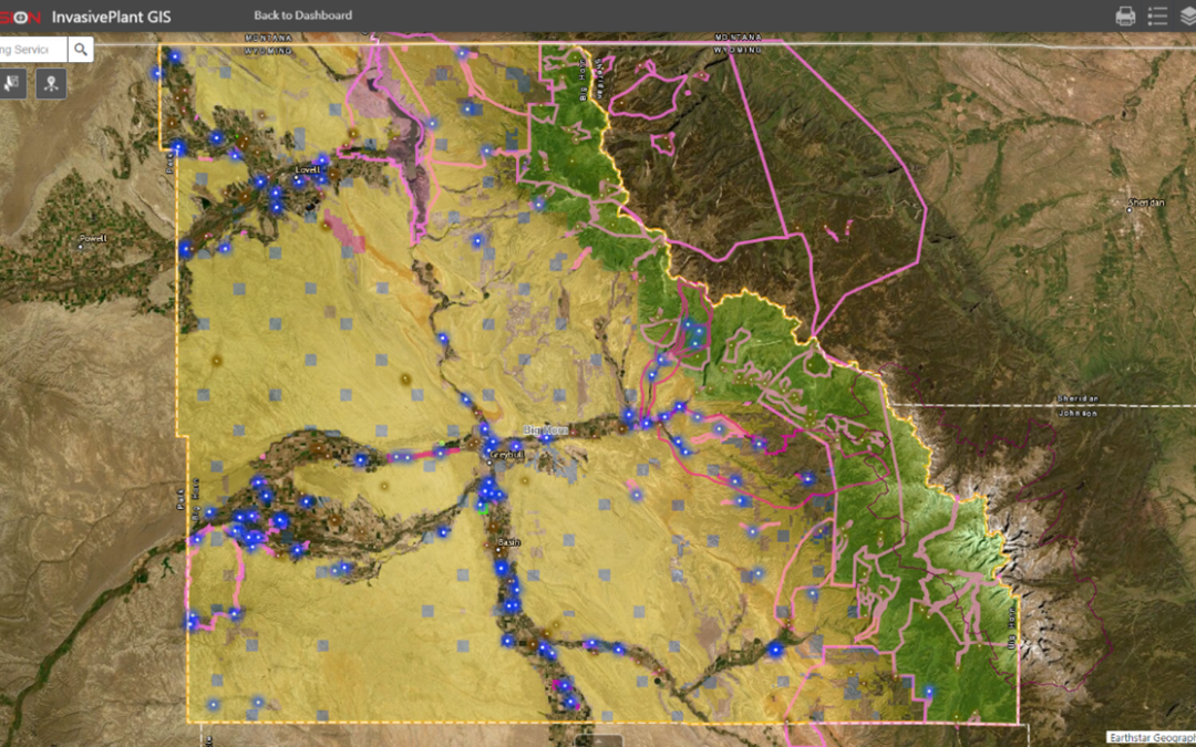
FieldSeeker GIS for Invasive Plant Control software is designed to be the hub of all your important operational data. Built on Esri® ArcGIS® Online, it’s a cloud-based system that provides users with simple, intuitive tools for mapping and reporting data related to...
Aug 10, 2022 | Events, Forestry & Natural Resources, UAS Processing Software, UAV Systems, Unmanned Aircraft Systems - UAS, Weed Control
Frontier Precision Unmanned will exhibit at the Big Iron Farm Show – the largest farm show in the upper Midwest. This show is held annually in September at the Red River Valley Fairgrounds, in West Fargo, ND. Come see us at Booth # C44-C45, September 13-15th. Frontier...
Aug 10, 2021 | Events, Forestry & Natural Resources, UAS Processing Software, UAV Systems, Unmanned Aircraft Systems - UAS, Weed Control
Frontier Unmanned will exhibit at the Big Iron Farm Show – the largest farm show in the upper Midwest. This show is held annually in September at the Red River Valley Fairgrounds, in West Fargo, ND. Come see us at Booth # C52-C53 – September 14-16th....
Jul 7, 2020 | Environmental Monitoring, Esri, ESRI, Events, Forestry & Natural Resources, GIS, Ground Water Monitoring, Handhelds with GNSS, Land Mobile Hardware, Land Mobile Software, Land Mobile Systems, Laser Scanning Software, Local Government, Mapping GNSS Recievers, Mapping Trimble Field Software, Mapping Trimble Office Software, Mapping/GIS, MGIS Field Software, MGIS Office Software, Mining, Mobile, Mobile Devices, Mosquito & Vector Control, Professional Services, Rangefinders, Solid Waste, Storm Water Monitoring, Surface Water Monitoring, Survey, UAS Processing Software, UAV Systems, Unmanned Aircraft Systems - UAS, Utilities, Water & Waste Water, Water Flow & Discharge Measurement, Water Level Monitoring, Water Quality Monitoring, Water Resources, Weed Control
We might not be able to meet in person this year, but we are still just as excited to talk with you about our latest geospatial products and services. Frontier Precision leads the way with specialized field mobility workflows alongside Esri ArcGIS services. ...
Jun 18, 2018 | Forestry & Natural Resources, GIS, Handhelds with GNSS, Larviciding, Local Government, Mapping/GIS, Mosquito & Vector Control, Service Requests, Surveillance & Disease Distribution, ULV/Adulticiding, Weed Control
NEW! Sync Data Through Google Drive or Dropbox Windows ULV makes data management even easier with the option to sync data through Google Drive or Dropbox. After field data is collected, data can still be synced wirelessly to a network location (if supported by...