Dec 2, 2022 | Fisheries Management and Studies, Forestry & Natural Resources, Water Quality Monitoring, Water Resources
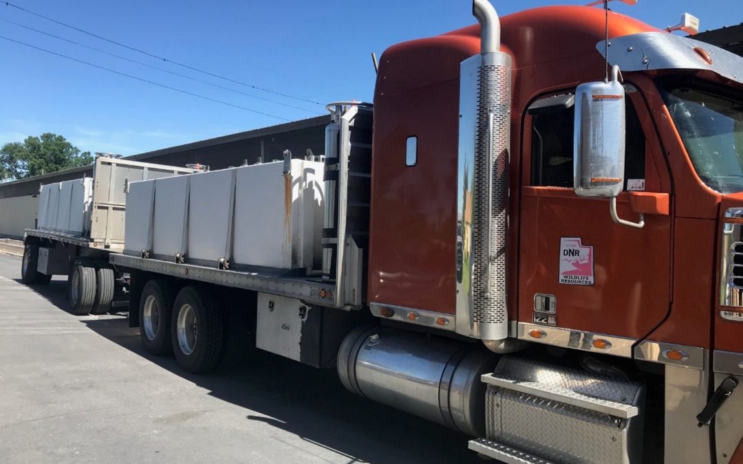
Many states transport fish from out-state-hatcheries to local hatcheries and from local hatcheries to lakes and reservoirs. Maintaining proper temperature and dissolved oxygen levels in the transport tanks is critical to the health and survival of the transported...
Sep 26, 2022 | Environmental Monitoring, Fisheries Management and Studies, Forestry & Natural Resources, Ground Water Monitoring, In-pipe Flow, Storm Water Monitoring, Surface Water Monitoring, Water & Waste Water, Water Flow & Discharge Measurement, Water Level Monitoring, Water Quality Monitoring, Water Resources, Wetland Delineation
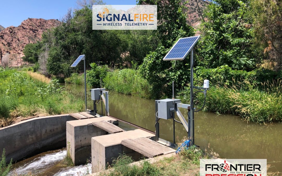
SignalFire Telemetry, Inc., a Massachusetts-based company, recently signed on Frontier Precision, Inc. to represent its reliable, cloud-based wireless RANGER telemetry products and cloud interface across the U.S.In a recent conversation with our experienced water...
Jun 27, 2022 | Construction Tools, Dashboard, Esri, ESRI, Events, Field Maps, GIS, Handhelds with GNSS, Imaging, In-pipe Flow, Local Government, Mapping GNSS Recievers, Mapping Trimble Field Software, Mapping/GIS, MGIS Field Software, MGIS Office Software, Mobile, Mosquito & Vector Control, News & Industry Updates, Professional Services, Storm Water Monitoring, Survey, Technical Support, Total Stations, Training, UAV Systems, Unmanned Aircraft Systems - UAS, Utilities, Water & Waste Water, Water Flow & Discharge Measurement, Water Level Monitoring, Water Quality Monitoring, Water Resources, Web AppBuilder
Frontier Precision provides implementation services, training, and technical support to ensure you start down the right path with Esri ArcGIS or to help keep the momentum going with your established GIS initiatives.For over 30 years, Frontier Precision has been...
Jun 14, 2021 | Construction Tools, Dashboard, Esri, ESRI, Events, Field Maps, GIS, Handhelds with GNSS, Imaging, In-pipe Flow, Local Government, Mapping GNSS Recievers, Mapping Trimble Field Software, Mapping/GIS, MGIS Field Software, MGIS Office Software, Mobile, Mosquito & Vector Control, News & Industry Updates, Professional Services, Storm Water Monitoring, Survey, Technical Support, Total Stations, Training, UAV Systems, Unmanned Aircraft Systems - UAS, Utilities, Water & Waste Water, Water Flow & Discharge Measurement, Water Level Monitoring, Water Quality Monitoring, Water Resources, Web AppBuilder
For over 30 years, Frontier Precision has been helping solve complex data collection challenges by seamlessly integrating GIS and field operations.Our unique capabilities revolve around apps for mosquito and invasive plant control, high accuracy GNSS, water monitoring...
Apr 16, 2021 | Environmental Monitoring, Fisheries Management and Studies, Forestry & Natural Resources, Water Level Monitoring, Water Quality Monitoring, Water Resources
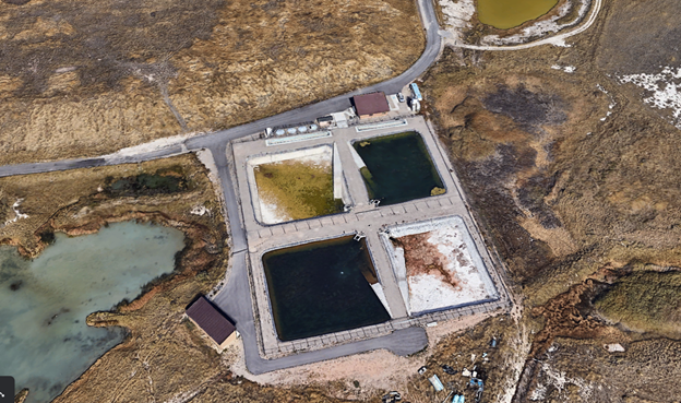
The Lee Kay Hatchery raises some of the biggest and toothiest fish in Utah. The Hatchery located west of Salt Lake City, UT produces many of the Tiger Musky stocked in Utah reservoirs. Tiger Musky are a cross between a northern pike and a muskellunge. Built in 1998...
Jul 7, 2020 | Environmental Monitoring, Esri, ESRI, Events, Forestry & Natural Resources, GIS, Ground Water Monitoring, Handhelds with GNSS, Land Mobile Hardware, Land Mobile Software, Land Mobile Systems, Laser Scanning Software, Local Government, Mapping GNSS Recievers, Mapping Trimble Field Software, Mapping Trimble Office Software, Mapping/GIS, MGIS Field Software, MGIS Office Software, Mining, Mobile, Mobile Devices, Mosquito & Vector Control, Professional Services, Rangefinders, Solid Waste, Storm Water Monitoring, Surface Water Monitoring, Survey, UAS Processing Software, UAV Systems, Unmanned Aircraft Systems - UAS, Utilities, Water & Waste Water, Water Flow & Discharge Measurement, Water Level Monitoring, Water Quality Monitoring, Water Resources, Weed Control
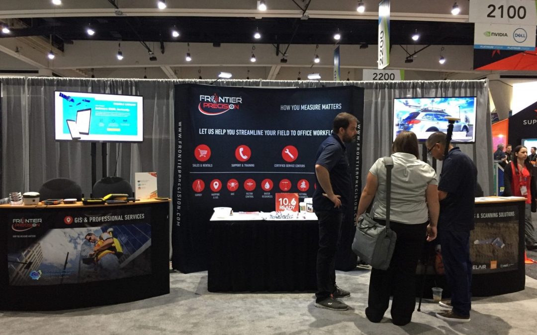
We might not be able to meet in person this year, but we are still just as excited to talk with you about our latest geospatial products and services. Frontier Precision leads the way with specialized field mobility workflows alongside Esri ArcGIS services. ...