Sep 26, 2022 | Environmental Monitoring, Fisheries Management and Studies, Forestry & Natural Resources, Ground Water Monitoring, In-pipe Flow, Storm Water Monitoring, Surface Water Monitoring, Water & Waste Water, Water Flow & Discharge Measurement, Water Level Monitoring, Water Quality Monitoring, Water Resources, Wetland Delineation
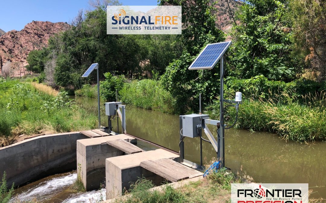
SignalFire Telemetry, Inc., a Massachusetts-based company, recently signed on Frontier Precision, Inc. to represent its reliable, cloud-based wireless RANGER telemetry products and cloud interface across the U.S.In a recent conversation with our experienced water...
Jun 27, 2022 | Construction Tools, Dashboard, ESRI, Esri, Events, Field Maps, GIS, Handhelds with GNSS, Imaging, In-pipe Flow, Local Government, Mapping GNSS Recievers, Mapping Trimble Field Software, Mapping/GIS, MGIS Field Software, MGIS Office Software, Mobile, Mosquito & Vector Control, News & Industry Updates, Professional Services, Storm Water Monitoring, Survey, Technical Support, Total Stations, Training, UAV Systems, Unmanned Aircraft Systems - UAS, Utilities, Water & Waste Water, Water Flow & Discharge Measurement, Water Level Monitoring, Water Quality Monitoring, Water Resources, Web AppBuilder
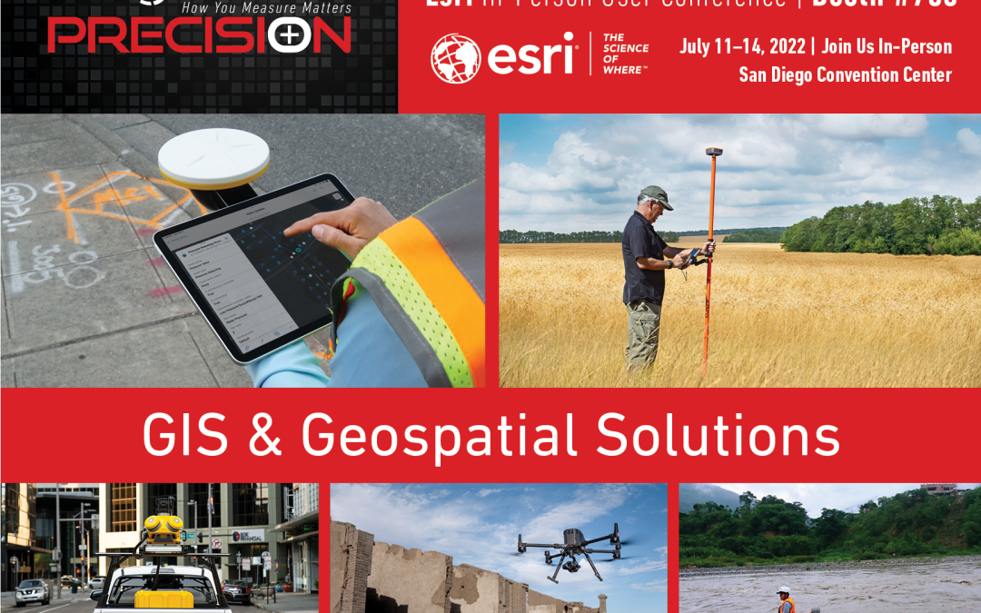
Frontier Precision provides implementation services, training, and technical support to ensure you start down the right path with Esri ArcGIS or to help keep the momentum going with your established GIS initiatives.For over 30 years, Frontier Precision has been...
Jun 14, 2021 | Construction Tools, Dashboard, Esri, ESRI, Events, Field Maps, GIS, Handhelds with GNSS, Imaging, In-pipe Flow, Local Government, Mapping GNSS Recievers, Mapping Trimble Field Software, Mapping/GIS, MGIS Field Software, MGIS Office Software, Mobile, Mosquito & Vector Control, News & Industry Updates, Professional Services, Storm Water Monitoring, Survey, Technical Support, Total Stations, Training, UAV Systems, Unmanned Aircraft Systems - UAS, Utilities, Water & Waste Water, Water Flow & Discharge Measurement, Water Level Monitoring, Water Quality Monitoring, Water Resources, Web AppBuilder
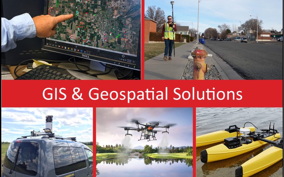
For over 30 years, Frontier Precision has been helping solve complex data collection challenges by seamlessly integrating GIS and field operations. Our unique capabilities revolve around apps for mosquito and invasive plant control, high accuracy GNSS, water...
Apr 13, 2020 | Environmental Monitoring, Imaging, In-pipe Flow, Storm Water Monitoring, Surface Water Monitoring, Survey, Unmanned Aircraft Systems - UAS, Water & Waste Water, Water Resources, Webinars
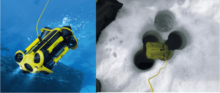
Performing underwater inspections of critical infrastructure items has historically been difficult and expensive. Critical Infrastructure may include dams, piers, bridge pilings, pumps, and submerged pipelines, and in the past has involved teams of divers and/or...

Jul 17, 2019 | In-pipe Flow, Water Flow & Discharge Measurement, Water Resources
Increasingly agriculture water conveyance is moving from open ditches and canals to pipes that transport water for pressurized irrigation systems. With open-channels, primary devices such as flumes and weirs are used to measure water flow. Dataloggers/flow meters use...
Mar 9, 2018 | Environmental Monitoring, Fisheries Management and Studies, Forestry & Natural Resources, Ground Water Monitoring, In-pipe Flow, Mapping/GIS, Storm Water Monitoring, Surface Water Monitoring, Water & Waste Water, Water Flow & Discharge Measurement, Water Level Monitoring, Water Quality Monitoring, Water Resources, Wetland Delineation
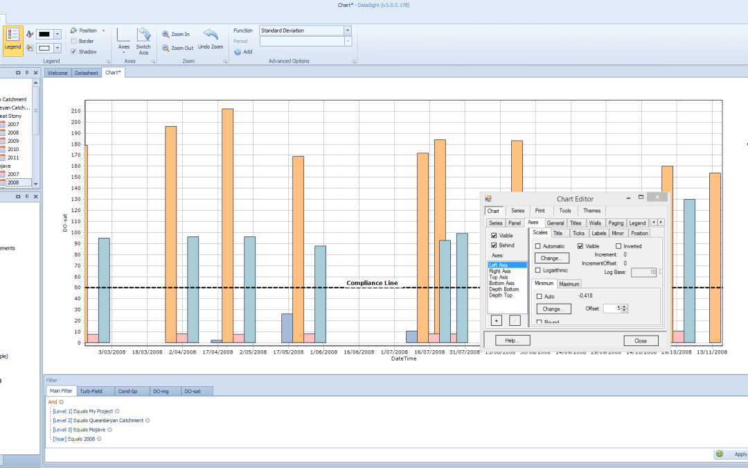
There are now multiple ways to acquire and implement our popular DataSight environmental database software: DataSight Enterprise for one-to-many users, DataSight Concurrent, one concurrent license providing access to multiple users, separately, and at different times,...