
Oct 30, 2024 | 3D Laser Scanners, 3D Laser Scanning Solutions, Build Construction, Construction Tools, Layout Solutions, Mapping/GIS, Survey, UAV Systems, Uncategorized, Unmanned Aircraft Systems - UAS, Workforce Solutions
The Section 179 tax provision allows businesses to deduct the full purchase price of qualifying equipment bought or financed during the tax year. The Section 179 deduction for 2024 is $1,220,000, which is an increase of $60,000 from 2023’s limit. In addition, the...
Oct 19, 2023 | 3D Laser Scanners, 3D Laser Scanning, 3D Laser Scanning Solutions, Automatic Levels, Build Construction, Construction Supplies, Construction Tools, Crash Reconstruction, Crime Scene Investigation, Field Controllers, Forensic Diagramming, Forensics, Forestry & Natural Resources, GIS, Grade Lasers, Handhelds with GNSS, Imaging, Interior Lasers, Land Mobile Hardware, Land Mobile Systems, Laser Levels, Laser Receiver Sensors, Layout Solutions, Mapping GNSS Recievers, Mapping/GIS, Mining, Mobile, Mobile Devices, News & Industry Updates, Rangefinders, Solid Waste, Survey, Survey Field Controllers, Survey GNSS Receivers, Survey GNSS Recievers, Total Stations, Total Stations, UAV Systems, Unmanned Aircraft Systems - UAS, Utilities, Workforce Solutions
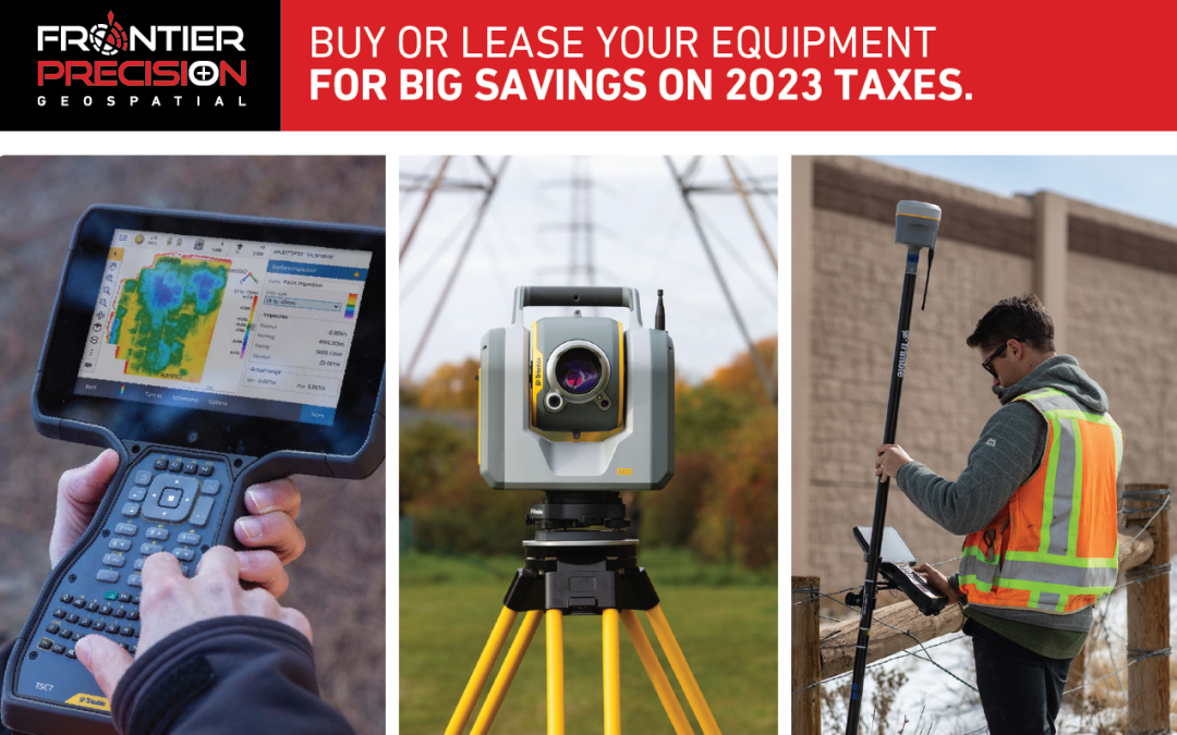
Buy or lease the equipment you need now for big savings on your 2023 taxes! The Section 179 tax provision allows businesses to deduct the full purchase price of qualifying equipment bought or financed during the tax year. The Section 179 deduction for 2023 is...
Sep 16, 2022 | Construction Tools, Crime Scene Investigation, ESRI, Fisheries Management and Studies, Forensics, Forestry & Natural Resources, Grade Lasers, Handhelds with GNSS, Interior Lasers, Local Government, Mapping GNSS Recievers, Mapping Trimble Field Software, Mapping/GIS, MGIS Field Software, Mining, Mobile, Mobile Devices, Rangefinders, Utilities, Wetland Delineation
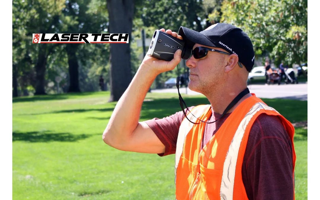
Whether you are looking to update your current rangefinder equipment or purchase rangefinders for the first time, Frontier can offer advice for streamlining your field data collection processes. Frontier Precision is a long-time reseller of Laser Tech’s reflectorless...

Jun 27, 2022 | Construction Tools, Dashboard, Esri, ESRI, Events, Field Maps, GIS, Handhelds with GNSS, Imaging, In-pipe Flow, Local Government, Mapping GNSS Recievers, Mapping Trimble Field Software, Mapping/GIS, MGIS Field Software, MGIS Office Software, Mobile, Mosquito & Vector Control, News & Industry Updates, Professional Services, Storm Water Monitoring, Survey, Technical Support, Total Stations, Training, UAV Systems, Unmanned Aircraft Systems - UAS, Utilities, Water & Waste Water, Water Flow & Discharge Measurement, Water Level Monitoring, Water Quality Monitoring, Water Resources, Web AppBuilder
Frontier Precision provides implementation services, training, and technical support to ensure you start down the right path with Esri ArcGIS or to help keep the momentum going with your established GIS initiatives. For over 30 years, Frontier Precision has been...
Jun 14, 2021 | Construction Tools, Dashboard, ESRI, Esri, Events, Field Maps, GIS, Handhelds with GNSS, Imaging, In-pipe Flow, Local Government, Mapping GNSS Recievers, Mapping Trimble Field Software, Mapping/GIS, MGIS Field Software, MGIS Office Software, Mobile, Mosquito & Vector Control, News & Industry Updates, Professional Services, Storm Water Monitoring, Survey, Technical Support, Total Stations, Training, UAV Systems, Unmanned Aircraft Systems - UAS, Utilities, Water & Waste Water, Water Flow & Discharge Measurement, Water Level Monitoring, Water Quality Monitoring, Water Resources, Web AppBuilder
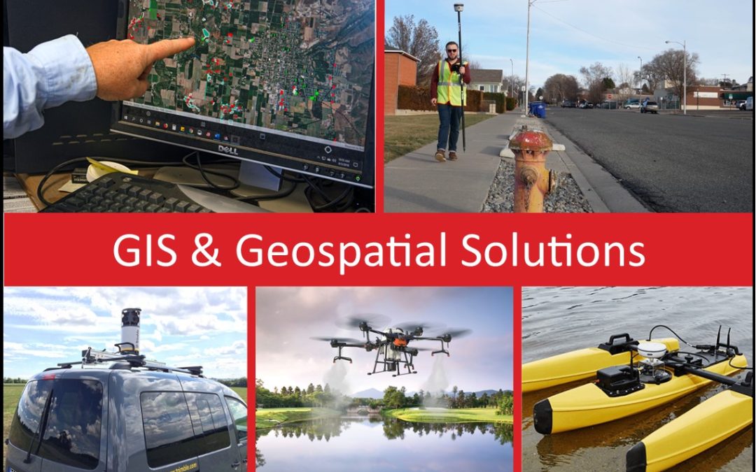
For over 30 years, Frontier Precision has been helping solve complex data collection challenges by seamlessly integrating GIS and field operations. Our unique capabilities revolve around apps for mosquito and invasive plant control, high accuracy GNSS, water...

Nov 20, 2019 | 3D Laser Scanners, 3D Laser Scanning, 3D Laser Scanning Solutions, Automatic Levels, Build Construction, Construction Supplies, Construction Tools, Crash Reconstruction, Crime Scene Investigation, Esri, Estimating Software, Field Controllers, Field Software for Survey, Forensic Diagramming, Forensics, Forestry & Natural Resources, GIS, Grade Lasers, Handhelds with GNSS, Imaging, Interior Lasers, Land Mobile Hardware, Land Mobile Software, Land Mobile Systems, Laser Levels, Laser Receiver Sensors, Laser Scanning Software, Layout Solutions, Mapping GNSS Recievers, Mapping Trimble Field Software, Mapping Trimble Office Software, Mapping/GIS, MGIS Field Software, MGIS Office Software, Mining, Mobile, Mobile Devices, Modeling Software, Mosquito and Vector Control, Office Software for Survey, Project Control Software, Rangefinders, Solid Waste, Survey, Survey Field Controllers, Survey Field Software, Survey GNSS Receivers, Survey GNSS Recievers, Survey Office Software, Total Stations, Total Stations, UAS Processing Software, UAV Systems, Unmanned Aircraft Systems - UAS, Utilities, Water Resources, Workforce Solutions
Buy or lease the equipment you need now for big savings on your 2019 taxes! The Section 179 tax provision allows businesses to deduct the full cost of qualifying equipment and software purchased or leased by the end of the year.Most small and medium-sized businesses...


