Oct 15, 2021 | ESRI, Esri, Mapping/GIS
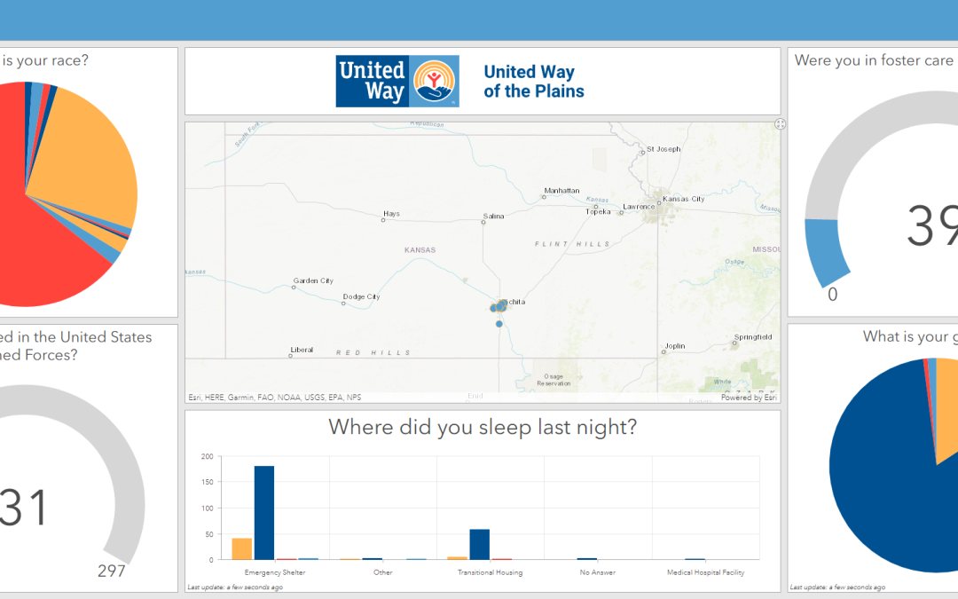
United Way of the Plains has served south central Kansas for almost one hundred years to provide the community with health, education, and financial stability resources. To assist the community, they must first understand the extent of the community needs. This is...
Sep 8, 2021 | Survey Field Controllers, Survey Field Software, Survey GNSS Recievers
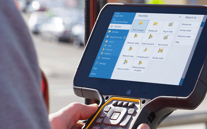
In this video we take a look at the various ways that lines can be loaded and staked in Trimble Access. We look at the differences between DXF lines and XML lines, as well as the methods that can be used to stake them.

Aug 20, 2021 | Mapping Trimble Field Software, Mapping Trimble Office Software, Mobile Devices, Survey Field Controllers, Survey Field Software, Survey GNSS Recievers, Survey Office Software
Trimble Identity (TID) is the sign-in functionality used to gain access to Trimble solutions. In an effort to make the platform more secure and protect your privacy, Trimble has been adding security updates that will take full effect on August 30, 2021. This update...

Aug 10, 2021 | Events, Forestry & Natural Resources, UAS Processing Software, UAV Systems, Unmanned Aircraft Systems - UAS, Weed Control
Frontier Unmanned will exhibit at the Big Iron Farm Show – the largest farm show in the upper Midwest. This show is held annually in September at the Red River Valley Fairgrounds, in West Fargo, ND. Come see us at Booth # C52-C53 – September 14-16th....

Aug 10, 2021 | Events, UAS Processing Software, UAV Systems, Unmanned Aircraft Systems - UAS
Frontier Unmanned is excited to attend and exhibit at the Commercial UAV Expo – Americas at the the Mirage – September 7-9th in Las Vegas, NV! Come see us at Booth # 901. Frontier can provide you with complete UAV solutions – Register TODAY!...
Jul 15, 2021 | Survey Office Software
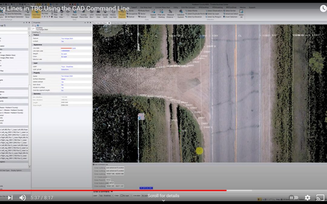
In this video we look at the process of editing lines in Trimble Business Center using the CAD Command Line. Simple key strokes within this tool makes the process faster and more efficient than using the traditional tool panes.
Jun 14, 2021 | Construction Tools, Dashboard, Esri, ESRI, Events, Field Maps, GIS, Handhelds with GNSS, Imaging, In-pipe Flow, Local Government, Mapping GNSS Recievers, Mapping Trimble Field Software, Mapping/GIS, MGIS Field Software, MGIS Office Software, Mobile, Mosquito & Vector Control, News & Industry Updates, Professional Services, Storm Water Monitoring, Survey, Technical Support, Total Stations, Training, UAV Systems, Unmanned Aircraft Systems - UAS, Utilities, Water & Waste Water, Water Flow & Discharge Measurement, Water Level Monitoring, Water Quality Monitoring, Water Resources, Web AppBuilder
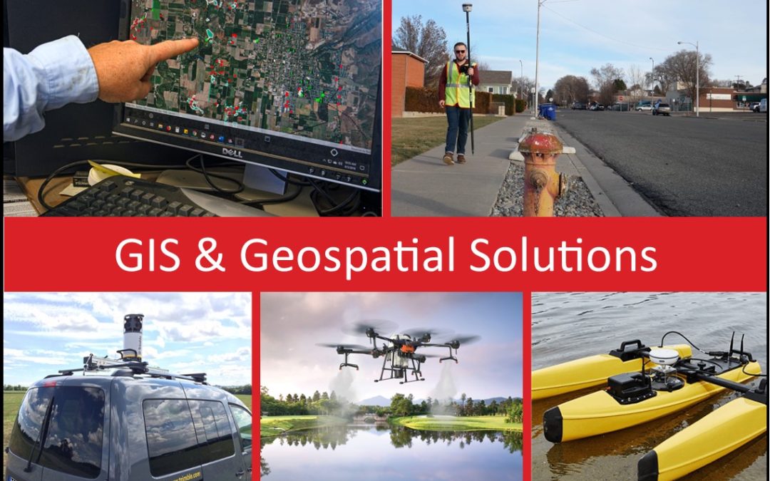
For over 30 years, Frontier Precision has been helping solve complex data collection challenges by seamlessly integrating GIS and field operations. Our unique capabilities revolve around apps for mosquito and invasive plant control, high accuracy GNSS, water...
Apr 16, 2021 | Environmental Monitoring, Fisheries Management and Studies, Forestry & Natural Resources, Water Level Monitoring, Water Quality Monitoring, Water Resources
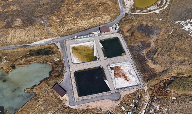
The Lee Kay Hatchery raises some of the biggest and toothiest fish in Utah. The Hatchery located west of Salt Lake City, UT produces many of the Tiger Musky stocked in Utah reservoirs. Tiger Musky are a cross between a northern pike and a muskellunge. Built in 1998...
Mar 19, 2021 | ESRI, Larviciding, Mosquito & Vector Control, Mosquito and Vector Control, Service Requests, Surveillance & Disease Distribution, ULV/Adulticiding
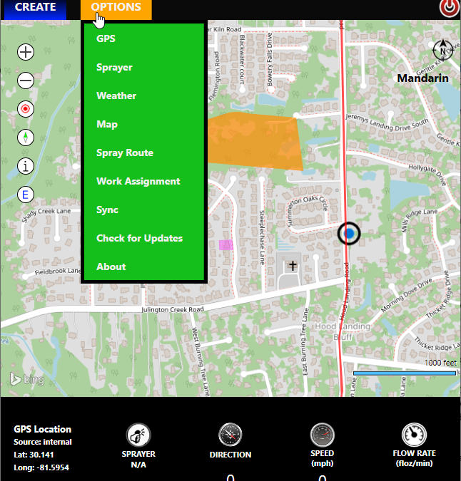
Maybe we always say this, but there’s a lot of great new stuff in this release and we’re excited about it! Where do we start? Required Weather Entry Let’s start with a relatively minor change that several of our customers asked about. Many states require weather...
Mar 9, 2021 | Esri, ESRI, Forestry & Natural Resources, Larviciding, Local Government, Mapping/GIS, Mosquito & Vector Control, Mosquito and Vector Control, Service Requests, Surveillance & Disease Distribution, Wetland Delineation
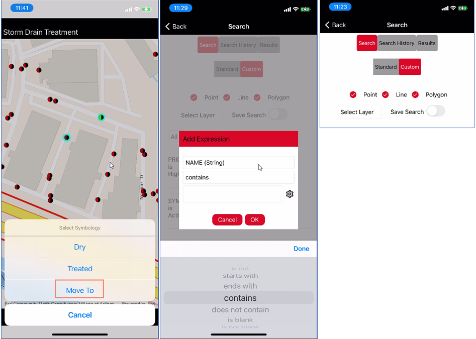
FieldSeeker GIS for Mosquito Control Cross-Platform Mobile App March 2021 Release Hundreds of users have been using FieldSeeker Core for the past 2 field seasons, collections thousands of inspections and treatments, treating tens of thousands of storm drains, and...


