Dec 6, 2022 | News & Industry Updates, UAV Systems, Unmanned Aircraft Systems - UAS
Winston-Salem, N.C. – Measurement technology provider Frontier Precision Unmanned has donated two drones valued at $50,000 to AeroX to support its STEM and workforce development initiatives. The drones will be used in two new AeroX programs that prepare high school...

Dec 2, 2022 | Fisheries Management and Studies, Forestry & Natural Resources, Water Quality Monitoring, Water Resources
Many states transport fish from out-state-hatcheries to local hatcheries and from local hatcheries to lakes and reservoirs. Maintaining proper temperature and dissolved oxygen levels in the transport tanks is critical to the health and survival of the transported...

Nov 9, 2022 | News & Industry Updates, UAS Processing Software, UAV Systems, Unmanned Aircraft Systems - UAS
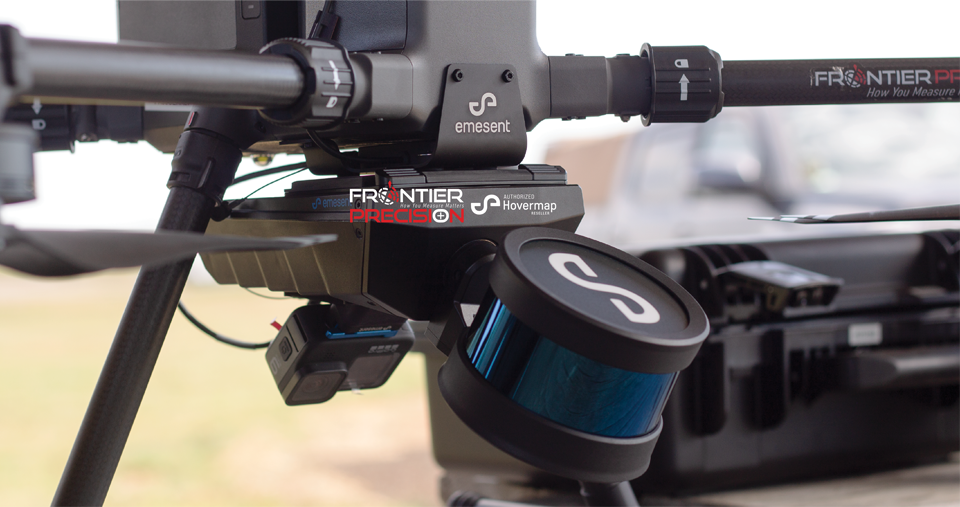
November 9, 2022 As part of its commitment to provide the best possible customer experience in the US market, Emesent is proud to announce partnership deals with two leading-edge companies, Frontier Precision and MFE Inspection Solutions. Specialists from both...

Oct 3, 2022 | Esri, ESRI, Forestry & Natural Resources, GIS, Local Government, Mapping/GIS, Weed Control, Wetland Delineation
FieldSeeker GIS for Invasive Plant Control software is designed to be the hub of all your important operational data. Built on Esri® ArcGIS® Online, it’s a cloud-based system that provides users with simple, intuitive tools for mapping and reporting data related to...

Sep 26, 2022 | Environmental Monitoring, Fisheries Management and Studies, Forestry & Natural Resources, Ground Water Monitoring, In-pipe Flow, Storm Water Monitoring, Surface Water Monitoring, Water & Waste Water, Water Flow & Discharge Measurement, Water Level Monitoring, Water Quality Monitoring, Water Resources, Wetland Delineation
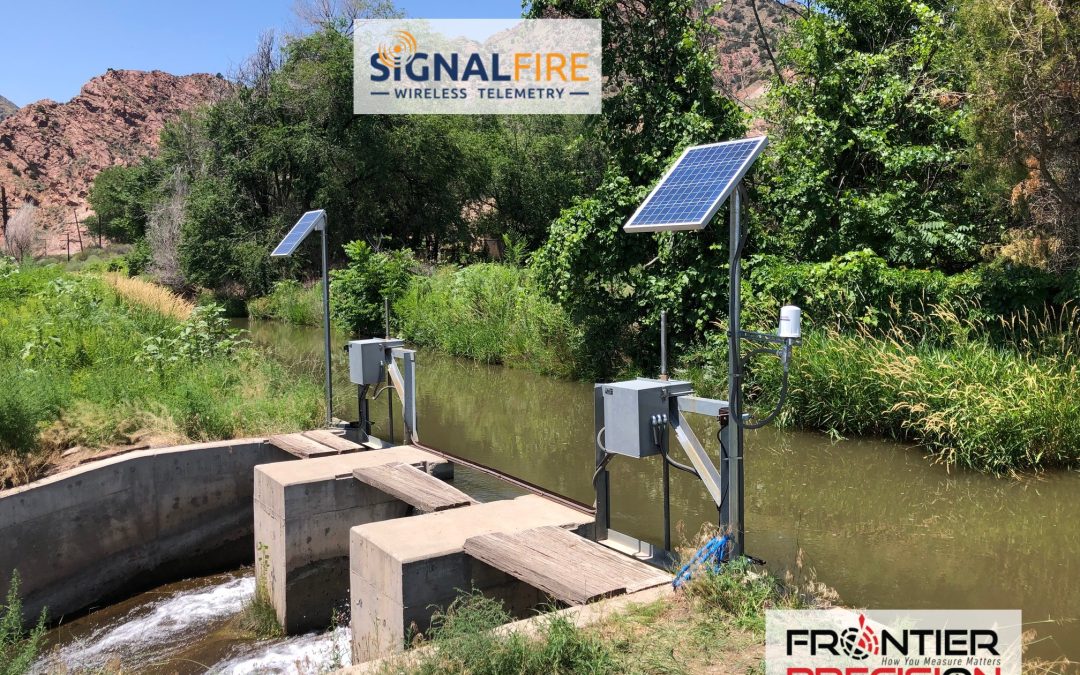
SignalFire Telemetry, Inc., a Massachusetts-based company, recently signed on Frontier Precision, Inc. to represent its reliable, cloud-based wireless RANGER telemetry products and cloud interface across the U.S. In a recent conversation with our experienced water...

Sep 16, 2022 | Construction Tools, Crime Scene Investigation, ESRI, Fisheries Management and Studies, Forensics, Forestry & Natural Resources, Grade Lasers, Handhelds with GNSS, Interior Lasers, Local Government, Mapping GNSS Recievers, Mapping Trimble Field Software, Mapping/GIS, MGIS Field Software, Mining, Mobile, Mobile Devices, Rangefinders, Utilities, Wetland Delineation
Whether you are looking to update your current rangefinder equipment or purchase rangefinders for the first time, Frontier can offer advice for streamlining your field data collection processes. Frontier Precision is a long-time reseller of Laser Tech’s reflectorless...

Aug 11, 2022 | Events, UAS Processing Software, UAV Systems, Unmanned Aircraft Systems - UAS
Frontier Unmanned is excited to attend and exhibit at the Commercial UAV Expo – Americas at Caesars Forum, September 6-8th in Las Vegas, NV! Come see us at Booth # 117! Frontier can provide you with complete UAV solutions – Register TODAY!...

Aug 10, 2022 | Events, Forestry & Natural Resources, UAS Processing Software, UAV Systems, Unmanned Aircraft Systems - UAS, Weed Control
Frontier Precision Unmanned will exhibit at the Big Iron Farm Show – the largest farm show in the upper Midwest. This show is held annually in September at the Red River Valley Fairgrounds, in West Fargo, ND. Come see us at Booth # C44-C45, September 13-15th. Frontier...
Jul 27, 2022 | Survey Field Controllers, Survey Field Software, Survey GNSS Recievers, Survey Office Software, Technical Support, Total Stations
Select the proper link for your version of Civil3D. This will download the executable to install the Trimble Link extension into your Civil3D software. Trimble Link allows you to interface directly with Trimble devices and filetypes within Civil3D. If the Trimble Link...

Jun 27, 2022 | Construction Tools, Dashboard, Esri, ESRI, Events, Field Maps, GIS, Handhelds with GNSS, Imaging, In-pipe Flow, Local Government, Mapping GNSS Recievers, Mapping Trimble Field Software, Mapping/GIS, MGIS Field Software, MGIS Office Software, Mobile, Mosquito & Vector Control, News & Industry Updates, Professional Services, Storm Water Monitoring, Survey, Technical Support, Total Stations, Training, UAV Systems, Unmanned Aircraft Systems - UAS, Utilities, Water & Waste Water, Water Flow & Discharge Measurement, Water Level Monitoring, Water Quality Monitoring, Water Resources, Web AppBuilder
Frontier Precision provides implementation services, training, and technical support to ensure you start down the right path with Esri ArcGIS or to help keep the momentum going with your established GIS initiatives. For over 30 years, Frontier Precision has been...


